
 Nature & outdoors
Photo: SnehasishAcharjeee, CC BY-SA 4.0
Explore Purulia
Dam
Khairabera Dam
An irrigation reservoir under Chemtaburu hill, ringed by forest.
- 22 kmBy road from the resort
- North-westOf the resort
- DamDams, lakes & falls
Overview
Dam
Visiting Khairabera Dam
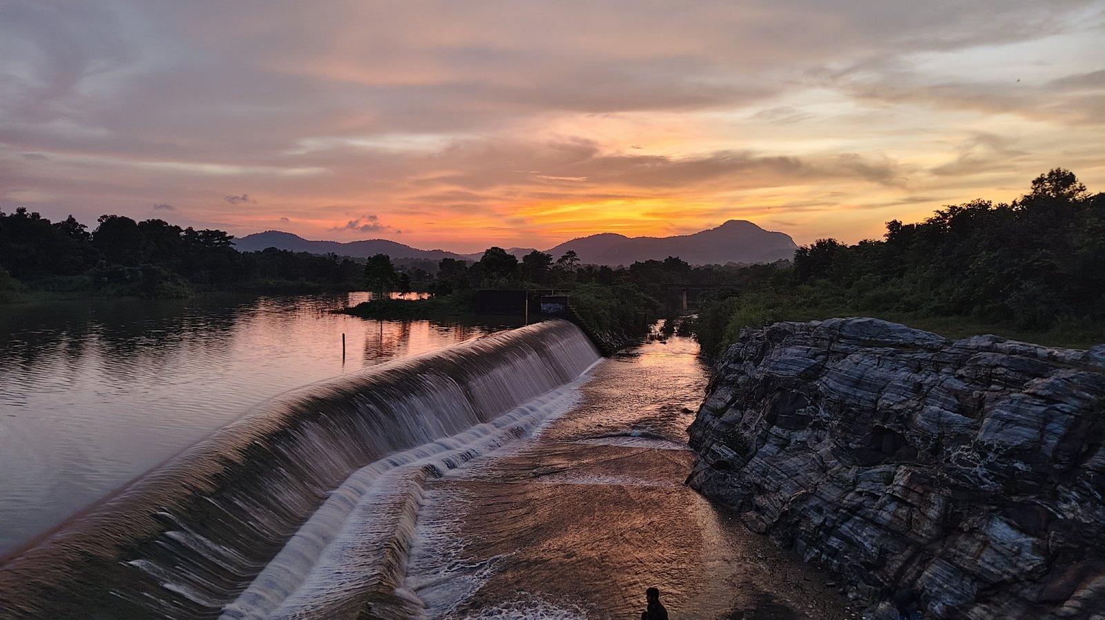
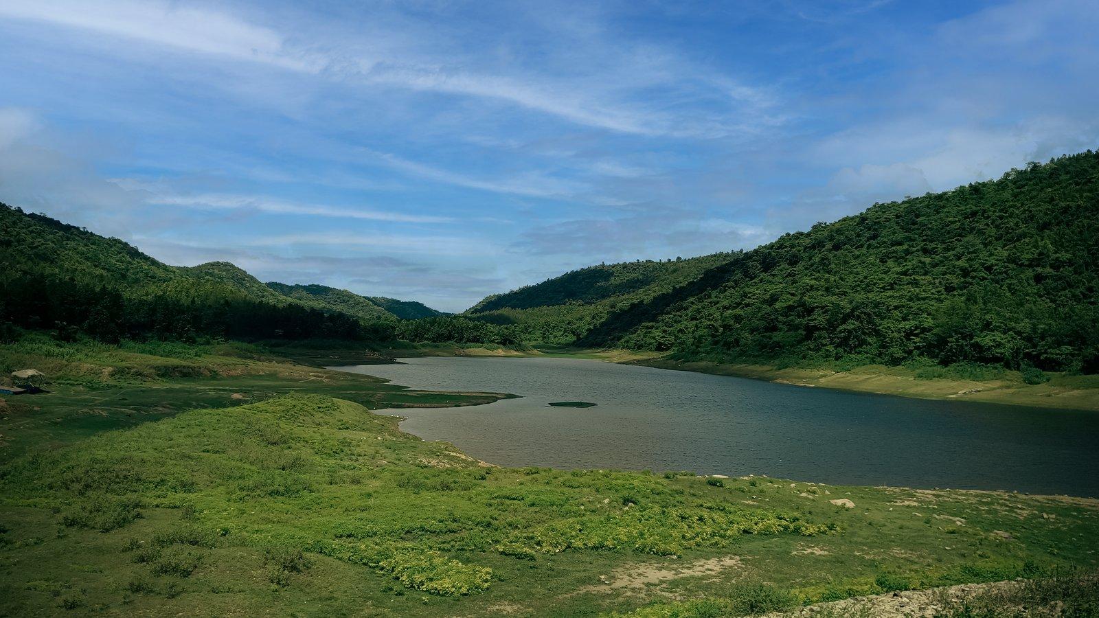
Khairabera is an irrigation reservoir in Baghmundi block, completed in 1989, at the foot of the Chemto (Chemtaburu) and Barra hills of the Ajodhya range. Low forested hills surround a wide sheet of water at the edge of Koreng village, and in spring the palash trees around it come into red flower.
The district administration describes Khairabera as an irrigation dam amid hills and forest, with a vast water body at the foot of the Chemto and Barra hills, and as a place with high potential for tourism. The reservoir lies at the edge of Koreng village, surrounded by low hills.
Outlook Traveller found the only sounds were water lapping on the rocky banks, cattle bells as village herds climbed to their grazing grounds and the cry of a kingfisher, with stars coming out over the water after sunset. A 2023 study of the hills' lakes put its surface at about 38 hectares and rated it high for scenery and easy to reach.
Above the lake rises Chemtaburu, usually given as the highest point of the Ajodhya range at about 700 m (some sources name Gorgaburu instead). In the local dialect chemta means flat and buru hill; the steep-sided granite-gneiss ridge looks like a crocodile's back and is popular for trekking.
Past & present
History & stories
The story of Khairabera Dam
Khairabera is a minor irrigation scheme of the West Bengal Irrigation and Waterways Department, on the Khairabera stream in the Karru sub-basin of the Subarnarekha. Work began in 1980–81, the state approved it in 1981, and it was completed in 1989 at a cost of ₹368 lakh, against an approved ₹415 lakh.
The earthen dam is about 372 m long, with an ungated spillway. It drains a catchment of 16.7 sq km, holds about 2.35 million cubic metres at full level, around 298 m above sea level, and can irrigate some 574 hectares of farmland through 2.5 km of main canals and 4.75 km of distributaries.
When you're there
See & do
Things to see and do
- 01
Sit by the water
Watch for kingfishers and the village cattle along the rocky banks in the quiet of the afternoon.
- 02
Palash in spring
Around Holi the palash trees around the reservoir come into red flower.
- 03
Trek Chemtaburu
The flat-topped ridge above the lake is popular with trekkers. Its steep sides make it unsuitable for elderly visitors.
- 04
Go on to Machkanda Falls
Wikipedia lists Machkanda Falls as reached via Khairabera; the 2023 study describes a horsetail fall of about 50 m that few visitors reach because access is difficult.
Gallery
Photos
Khairabera Dam in pictures
Photos coming soon
We're putting together our own photographs of Khairabera Dam. Been there with us? We'd love to see yours.
Getting there
From Rangamati
Where it lies
Khairabera Dam is 22 km by road from the resort, to the north-west. A local guide, sightseeing cab or driver can be arranged on request.
- The drive
- The drive goes north from the resort along SH4, through Baghmundi and on north-west to Koreng village, at whose edge the reservoir lies; the last few kilometres from Koreng are on minor roads that most maps do not show. A forest road also links Khairabera with Ajodhya hill top, about 21 km away.
Before you go
- Safety
- The nearest government health facility is the six-bed primary health centre at Koreng.
- Getting around
- The 2023 study rated the lake easy to reach; Chemtaburu, by contrast, is steep and unsuited to elderly or disabled visitors.
Through the year
Seasons & festivals
When to go
Summer
March – June
Around Holi (usually March) the palash trees round the lake flower red; by April and May it is hot and dry.
Monsoon
July – September
Most of the year's rain falls between June and September, when the hills around the lake are greenest.
Winter
October – February
December to February is cool and pleasant; clear evenings by the water are good for the stars.
Good to know
Questions
Frequently asked questions
How far is Khairabera Dam from Rangamati Eco Resort?
About 22 km by road, via Baghmundi and Koreng. The resort can arrange a sightseeing cab, driver or guide on request.
Who built the dam, and when?
The West Bengal Irrigation and Waterways Department, as a minor irrigation scheme. Work began in 1980–81 and was completed in 1989.
Can we climb Chemtaburu?
It is popular with trekkers, but it is steep. Go with a local guide, which the resort can arrange, and allow plenty of daylight.
When is the best time to visit?
December to February for cool weather; around Holi (usually March), when the palash trees round the lake are in red flower.
Can it be combined with other places?
Yes. Machkanda Falls is reached via Khairabera, and a forest road leads on to Ajodhya hill top, about 21 km away.
Is it suitable for elderly visitors and children?
The lakeside is: a 2023 accessibility study rated it easy to reach. The climb up Chemtaburu is not.
Make a day of it
Close by
Nearby places
Other places close to this one, so you can see a few in a single trip.
From our travel journal
- Nature & outdoors
Seasons & festivals Best Picnic Spots in Purulia for a Winter Day Out
The best picnic spots in Purulia for a winter day: Upper Dam, Thurga, Khairabera, Murguma, Baranti and Joychandi, quieter options, peak crowd days and the rules.Seasons & festivals Palash Season in Purulia: When and Where to See the Flame of the Forest
Palash season in Purulia peaks in March. When the flame of the forest blooms, where to see it around the Ajodhya Hills, photo tips and Holi booking advice.
Sources: purulia.gov.in · en.wikipedia.org · bn.wikipedia.org · outlooktraveller.com · outlookindia.com · iwd.wb.gov.in · mdpi.com · en.wikivoyage.org · en.wikipedia.org · prothomalo.com · bangla.aajtak.in · openstreetmap.org · router.project-osrm.org · anupamnagu.blogspot.com
Make Rangamati your base.
Rangamati is your base for the Ajodhya hills — tell us your dates and we'll plan the drive.