At a glance
- Seven of Purulia's dams and lakes lie within 9–22 km of the resort; Murguma is 37 km away and Baranti 120 km.
- The Upper and Lower Dams are the two reservoirs of a 900 MW power project, and their water levels rise and fall daily.
- Khairabera, Murguma, Baranti, Turga and Lahariya are irrigation reservoirs; Marble Lake is a flooded quarry.
- Don't plan around boating: sources disagree for Murguma, and Baranti had none as of April 2026.
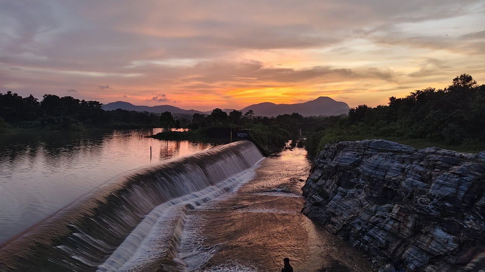
- For sunsets, travel writers favour the Upper Dam, Murguma and Baranti; Khairabera is lovely as the stars come out.
- None of these reservoirs is safe for swimming, and plastic left behind ends up eaten by village cattle.
The dams in Purulia that most visitors see are in and around the Ajodhya Hills: the Upper Dam and Lower Dam of the hills' power project, the smaller Turga and Lahariya reservoirs at their foot, Marble Lake in an old quarry, quiet Khairabera and Pardi, and the big Murguma reservoir at the range's north-western end. All of these lie 9 to 37 km from our cottages. Baranti, the best-known lake in the north of the district, is a longer trip at 120 km. Each has a different character, and only a couple are good for a long walk.
Dams in Purulia at a glance
| Dam or lake | What it is | Approx. water area (2023 survey) | From the resort | Best for |
|---|---|---|---|---|
| Thurga (Turga) Dam | Irrigation reservoir | 0.19 sq km | 9 km | Sitting by clear water after Turga Falls |
| Lahariya Dam | Small irrigation reservoir | Not surveyed | 9.6 km | A stop at the Shiva temple |
| Lower Dam | Power-project lower reservoir | 0.32 sq km | 11 km | The view along the lake and down to the plains |
| Upper Dam | Power-project upper reservoir | 0.98 sq km | 16 km | Driving the embankment; late-afternoon light |
| Paparkocha Dam (Pardi) | Small irrigation lake | 0.07 sq km | 16 km | A quiet lakeside with a local driver |
| Marble Lake | Flooded quarry | 0.02 sq km | 19 km | Deep blue water between banded rock walls |
| Khairabera Dam | Irrigation reservoir, 1989 | 0.38 sq km | 22 km | Silence, kingfishers, palash in spring |
| Murguma Dam | Irrigation reservoir, 1982 | 0.80 sq km | 37 km | Embankment walks, sunsets, winter birds |
| Baranti | Irrigation reservoir, 1991 | Not surveyed | 120 km | Sunset over the lake and paddy fields |
Distances are by road from the resort; water areas are from a 2023 field survey of the hills and change with the season.
The Upper and Lower Dams: lakes that rise and fall
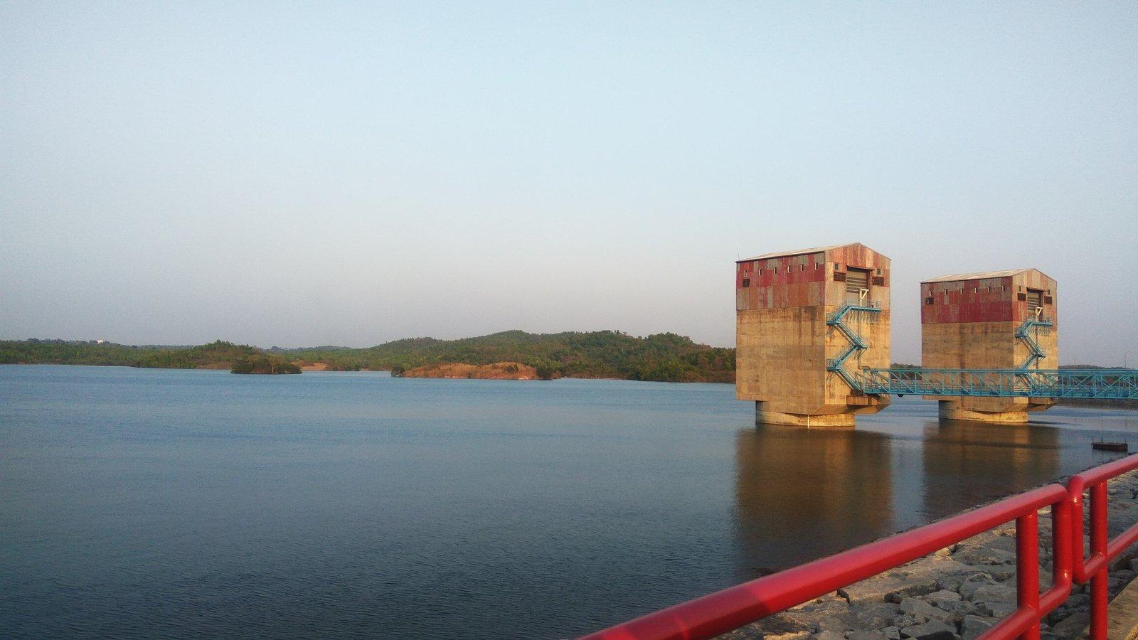
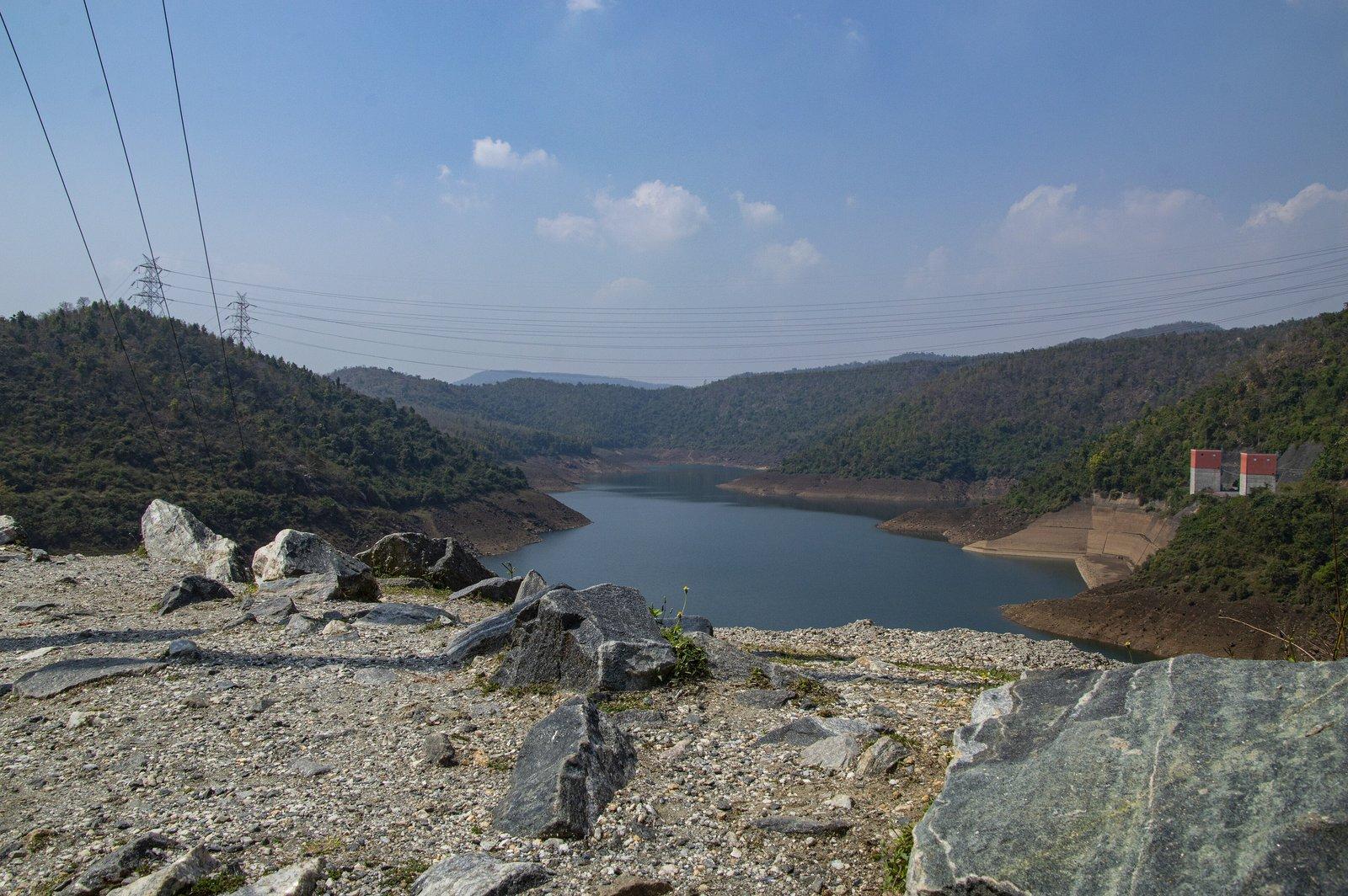
These two are not ordinary reservoirs. They are the top and bottom of the 900 MW Purulia Pumped Storage Project, run by the state power distribution company WBSEDCL. When the grid has power to spare, water is pumped up from the lower lake to the upper one; at peak hours it runs back down through turbines inside the hill. The operator's design levels let the upper lake move by up to 22 m and the lower one by up to 37 m, so the shoreline you see depends on the hour. Our Purulia Pumped Storage Project explainer goes into how it works.
The Upper Dam is the easy one. A road runs along the top of its rock-fill embankment, with a wide sheet of water on one side and forest on the other, and cars pull in along the top. A 2023 study rated it among the easiest sites in the hills for elderly visitors to reach. It has become a picnic stop, with temporary stalls in season, and one Bengali travel writer singles out the road beside the lake for its sunset view. It is about 6 km below Ajodhya Hill Top.
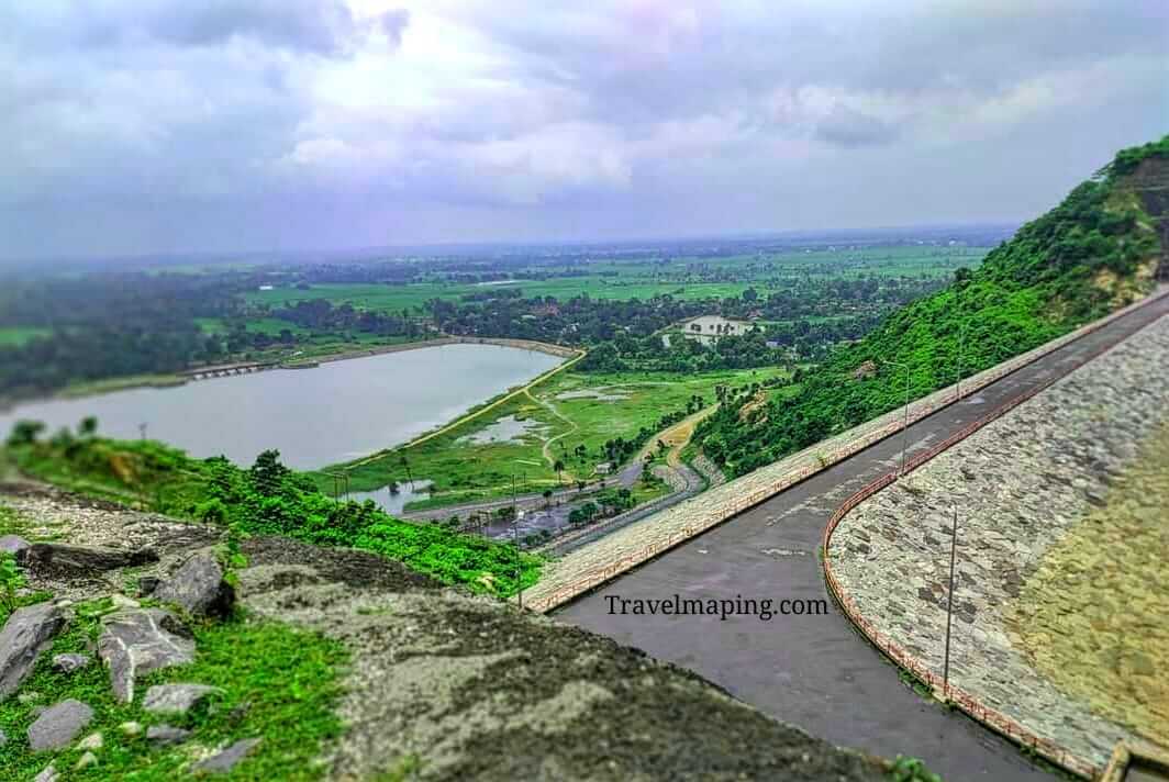
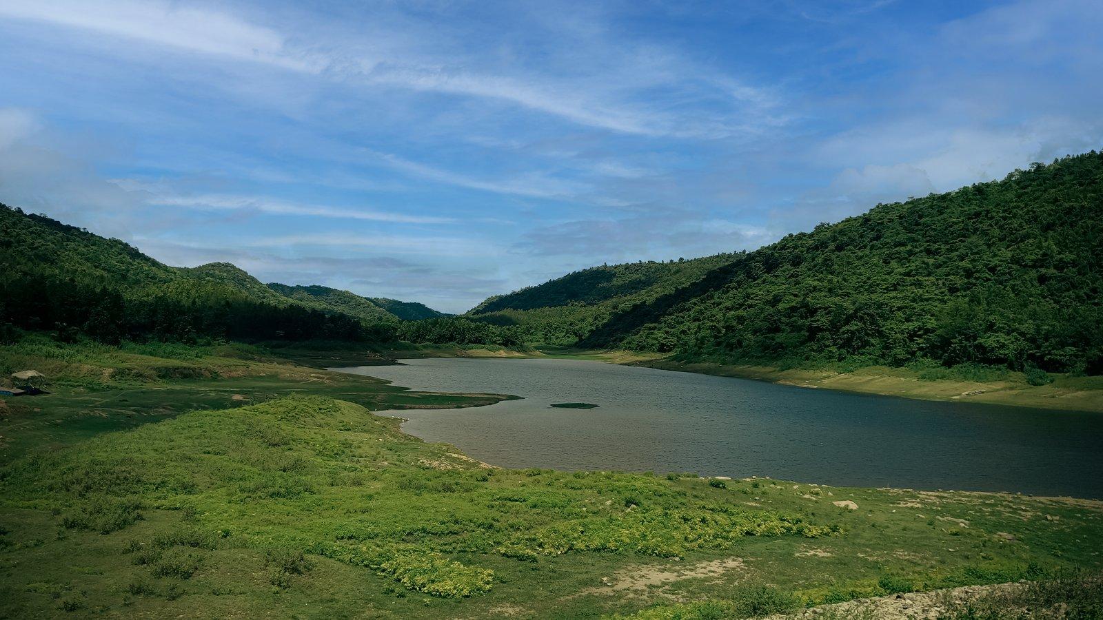
The Lower Dam is a 95 m high, 310 m long rock-fill embankment. From the viewpoint beside it you look one way along a long lake winding between green slopes, and the other way down over the small Lahariya reservoir, its temple and the farmland at the foot of the range.
Lahariya and Turga: small reservoirs at the foot of the hills
Lahariya Dam is the local name for the small reservoir directly below the Lower Dam, with the Lahariya Shiva temple at its eastern edge. Japan's aid agency JICA, which funded the power project, recorded that its two dams discharge into an existing irrigation dam downstream, which it calls the Loharia dam. Quiet for most of the year, the temple fills with thousands for its Gajan and Charak fair before Chaitra Sankranti in mid-April.
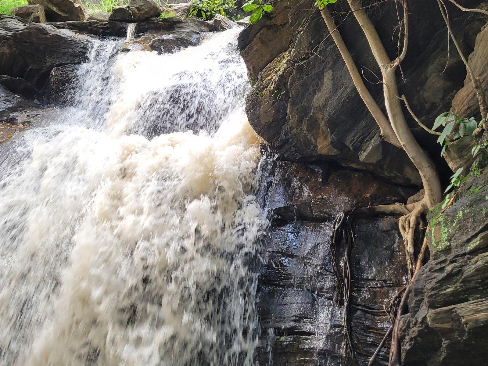
Thurga Dam, also written Turga, belongs to the state Irrigation and Waterways Directorate and holds a reservoir at about 284 m above sea level, ringed by low wooded hills, with Turga Falls a short way upstream. Its future is uncertain: WBSEDCL plans to enlarge it as the lower reservoir of a 1,000 MW pumped storage scheme, a project Santal villages in the hills have opposed for years. In 2026 a contractor was chosen for the scheme's access road and tunnel, so check locally whether any part of the bank is closed.
Marble Lake: a quarry turned lake
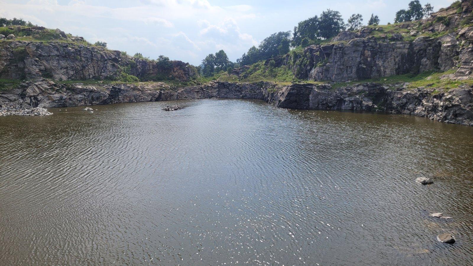
Marble Lake is the odd one out. Stone for the power project was blasted out of the hillside here, springs filled the pit, and the result is a small lake about 40 feet (12 m) deep, by the district administration's figure, enclosed by steep walls of broken rock. The district lists it as Durga Bera; locals also call it Patal Dam and Neel Dam.
The water turns a strong blue under a clear sky, and the quarry walls show light-and-dark banded rock cut by darker dykes, which made it the only lake in the hills that a 2023 geological study rated as unique. It sits on a short spur above Bamni Falls, with a short walk over rocky ground from the parking area. The sides are steep and the water deep, so keep children well back from the edge.
Khairabera and Paparkocha: the quiet irrigation lakes
Khairabera Dam is a minor irrigation scheme of the Irrigation and Waterways Department, completed in 1989: an earthen dam about 372 m long holding a reservoir at the foot of Chemtaburu, often given as the highest hill of the range. Outlook Traveller found the only sounds were water on the rocky banks, cattle bells and a kingfisher, with stars coming out over the water after sunset. Around Holi the palash trees round the lake flower red. The last stretch beyond Koreng village is on minor roads that most maps don't show.
Paparkocha Dam, also called Pardi Lake, is a small irrigation lake of about 7 hectares near Pardi village, in the country around Gorgaburu hill. A 2023 study rated it high for scenery and easy to reach, but it is poorly signposted and mapped, so go with a driver who knows it.
Murguma Dam: the big lake at the north-western end
Murguma Dam is a big, island-dotted reservoir where the range ends in the north-west. The earthen embankment of the Saharajore Irrigation Scheme runs for about 2.2 km, and when full the lake covers roughly 1.7 sq km, by the Irrigation Department's figures. The scheme was approved in 1961 and completed in 1982. The district administration calls it a very good picnic spot with a view of the Ajodhya hills.
Come for a slow walk along the embankment in the late afternoon, the Santal villages around the lake with their painted mud walls, and, in winter, waterbirds; by 2024 the forest department had included the reservoir in its annual waterbird survey. A gorge viewpoint locals call "Suicide Point" is about 1.5 to 2 km from the dam; strong winds blow there and sudden storms can bring flash floods, so keep well back from the edge and avoid it in bad weather. Mobile signal around Murguma is weak, and the Durga Puja holidays bring crowds.
Is there boating on Purulia's dams?
Not reliably, so don't build a trip around it.
- Murguma: sources disagree. West Bengal Tourism mentions boating and fishing; Wikipedia says no boating facility is offered.
- Baranti: none as of April 2026, according to ETV Bharat.
- Upper and Lower Dams: we know of no boating on the power-project reservoirs, and their changing levels make the water's edge unsafe.
If a boat ride matters, Chandil Dam across the border in Jharkhand, roughly 48 km by road from the resort, runs ticketed rides among forested islands.
Baranti: the lake in the far north
Baranti is a small tribal village on the shore of the reservoir behind the Ramchandrapur irrigation project's dam near Muradi, completed in 1991. Low wooded hills ring the water, migratory birds come in winter, and in The Telegraph's words, sunset is particularly special here, as yellow and red spread from the lake onto the paddy fields. In March the palash turns the hills red.
At 120 km it is a trip of its own rather than a stop. As of April 2026 there was no ATM or pharmacy in the village and mobile signal was weak, so bring cash and any medicines. Our Garh Panchkot and Baranti day trip shows how to combine it with the fort ruins and Joychandi Pahar.
When to go, and how to visit well
October to March is the main season, cool and dry, with winter birds on Murguma and Baranti. The monsoon, from June to September, turns the hills around every reservoir green. Summer is hot, with temperatures reaching the 40s °C, so go late in the afternoon if you visit then.
- Don't swim. None of these reservoirs has a safe bathing area.
- Take your litter home. Villagers near the hill dams told Mongabay that plastic left by picnickers is eaten by their cattle, which fall ill.
- Keep it quiet. Loud music carries a long way over water and into the villages around it.
- Ask first. The villages around Murguma and Baranti are people's homes; ask before photographing anyone.