Explore Purulia

Dam

Thurga Dam

A hill reservoir near Baghmundi, set to grow with a power project

Directions
  • 9 kmBy road from the resort
  • NorthOf the resort
  • DamDams, lakes & falls

Overview
Dam

Visiting Thurga Dam

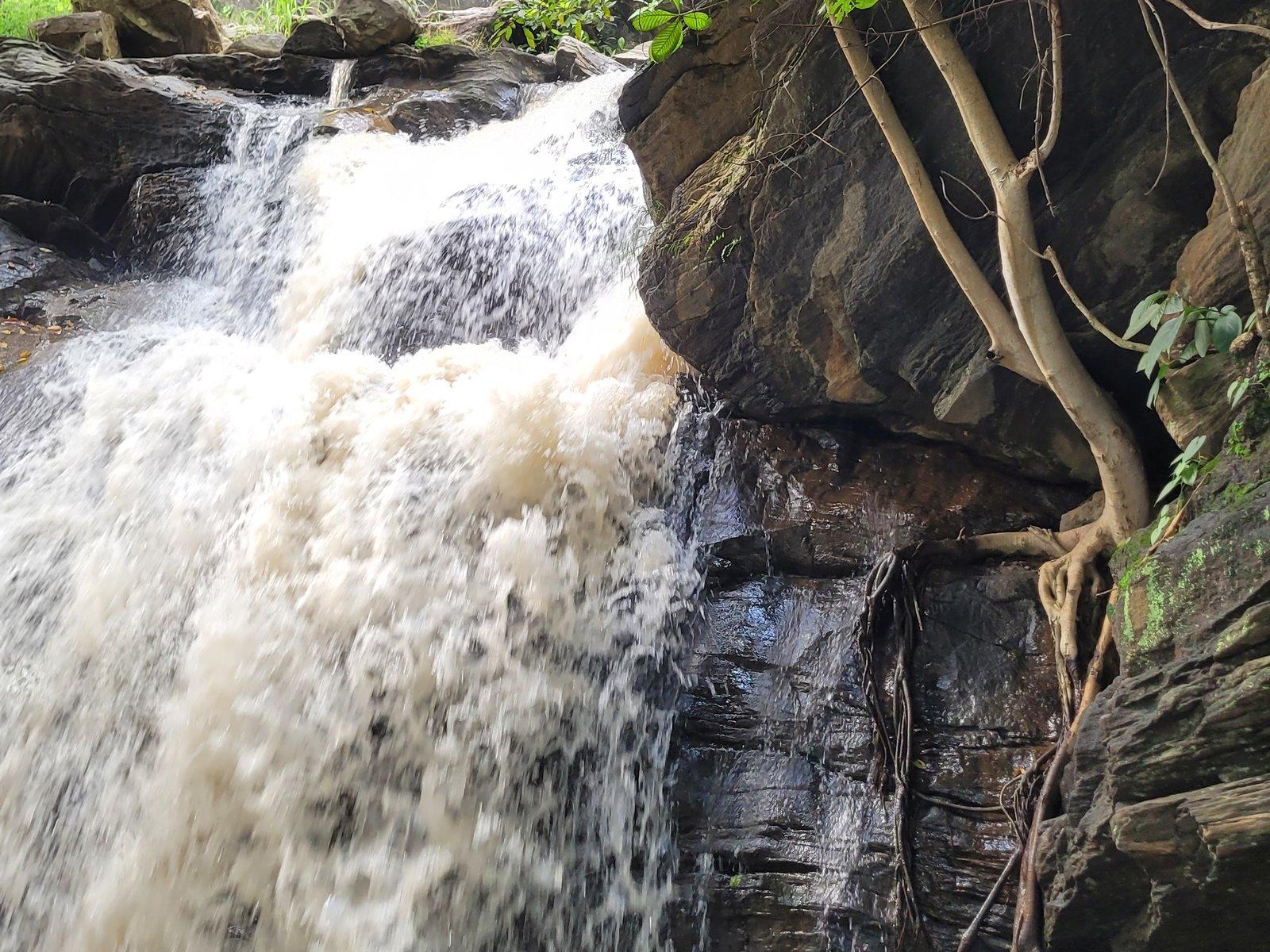
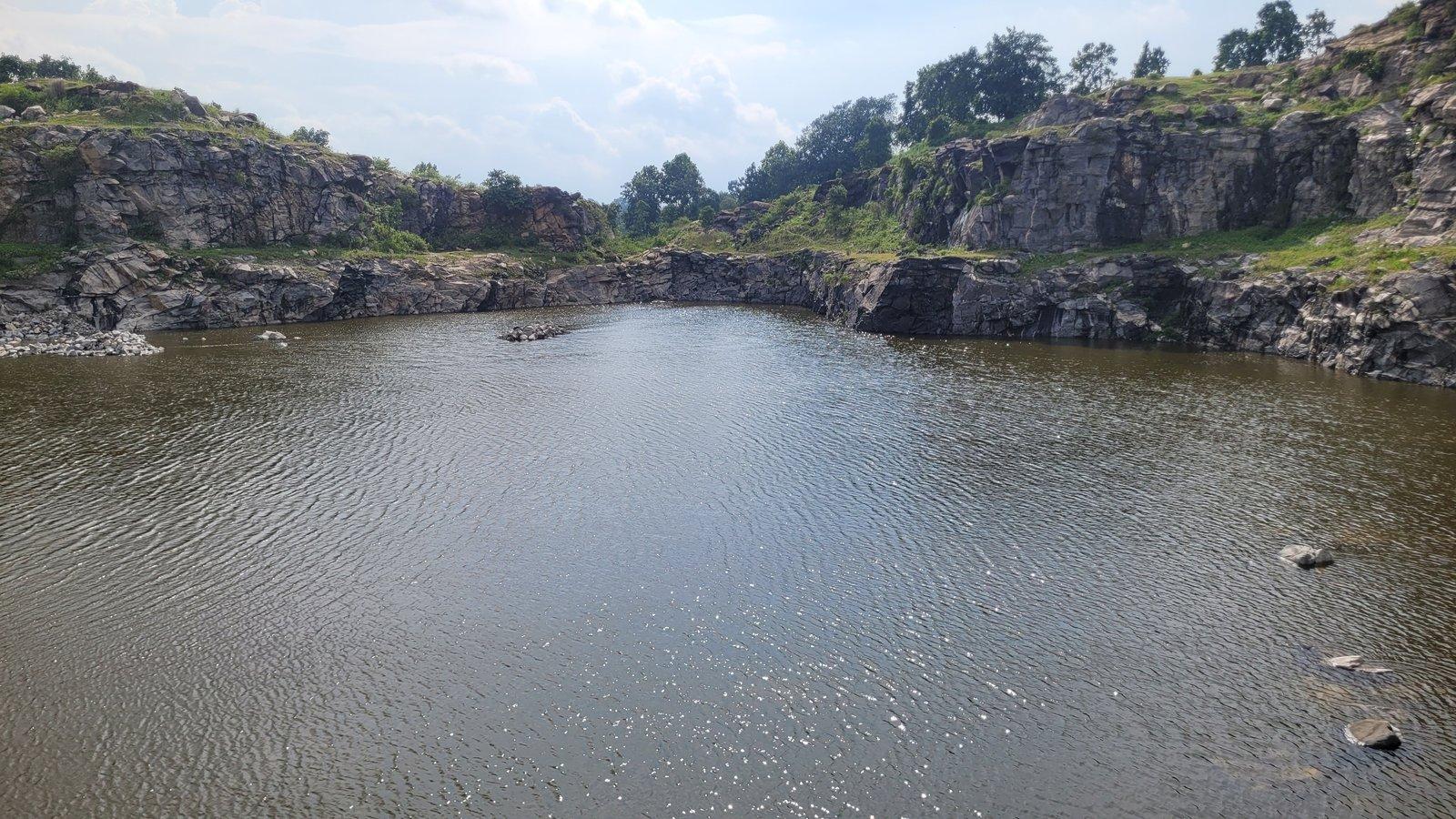
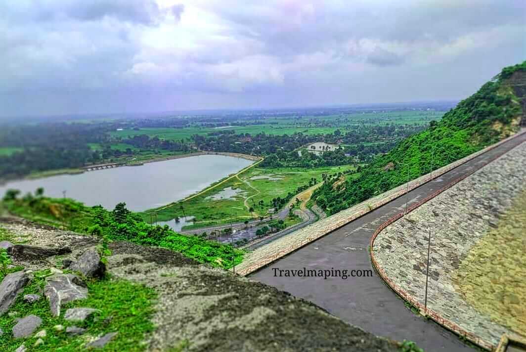
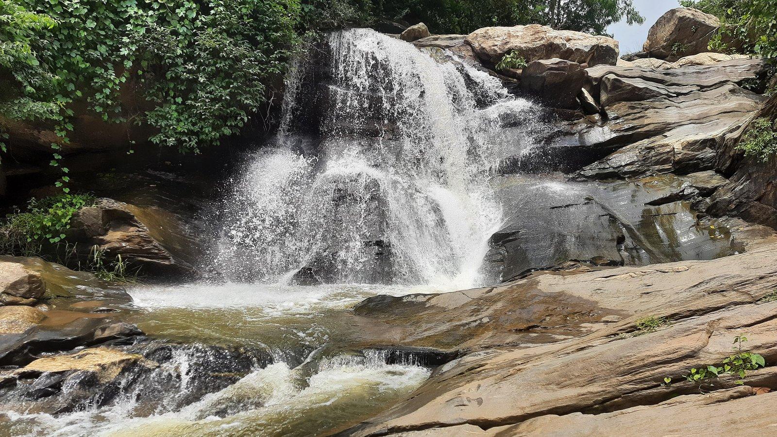
Turga Dam holds a reservoir on the Turga Nala, a hill stream close to Baghmundi, at about 284 m above sea level. Its clear water ringed by wooded slopes has long made it a place to spend the day, and Turga Falls lies a short way upstream. The dam is planned to become the lower reservoir of the 1,000 MW Turga Pumped Storage Project.

The existing dam belongs to the state's Irrigation and Waterways Directorate. Behind it, the reservoir spreads between low forested hills, fed by the Turga Nala, which drains towards the Subarnarekha. A 2023 travel account describes clear blue water held in the lap of the hills, the kind of view that keeps people sitting on the bank for a long time.

The Turga Pumped Storage Project, planned by the state electricity distribution company WBSEDCL, would enlarge this dam into the lower reservoir of a 1,000 MW scheme, with a new upper dam across the Turga Nala further up. Water would be pumped uphill when power is plentiful and run back through four 250 MW machines in an underground power house at peak hours; two are variable-speed units meant to absorb surplus solar and wind power.

The project is contested. Santal villages in the hills around Turga have opposed it for close to a decade, citing the loss of forest, grazing land and sacred sites, and a long legal battle has followed.

Past & present
History & stories

The story of Thurga Dam

The idea is old. In 1979 the state proposed a chain of pumped storage dams on four Ajodhya streams, the Bamni, Turga, Handu and Kathaljor, and the Central Electricity Authority identified the Turga site around that time. The Bamni scheme was built first, as the Purulia Pumped Storage Project, between 2002 and 2008.

Turga moved forward in the 2010s: the CEA cleared its project report in 2016, the state cabinet approved it in 2017, environmental clearance came in July 2018, and Japan's JICA signed a first loan agreement in November 2018. The project needs 292 ha of land, 234 ha of it forest.

In July 2019 the Calcutta High Court ruled that the land process had violated the Forest Rights Act, but in December 2021 a division bench reinstated the in-principle clearance, and final forest clearance followed in October 2022. In May 2024 the National Green Tribunal asked the authorities to answer complaints of violations. In August 2026 a contractor was declared lowest bidder for the access road and main access tunnel.

Marang Buru and Sutan Tandi

For the Santal communities of the Ajodhya hills, Marang Buru, 'the great mountain', is the chief hill deity, and a hillock of that name worshipped by local people lies in the Turga project area. Sutan Tandi is the forest gathering place where, villagers say, disputes are settled; one resident called it 'our Supreme Court'. Villagers say the project threatens both.

When you're there
See & do

Things to see and do

  1. 01

    Sit by the reservoir

    Spend an unhurried hour on the bank, looking across the water to the wooded hills; the Turga Dam site has long been a place where visitors spend the day.

  2. 02

    Walk up to Turga Falls

    The waterfall is a short way upstream on the same stream, reached from the same hill road.

  3. 03

    A hill circuit

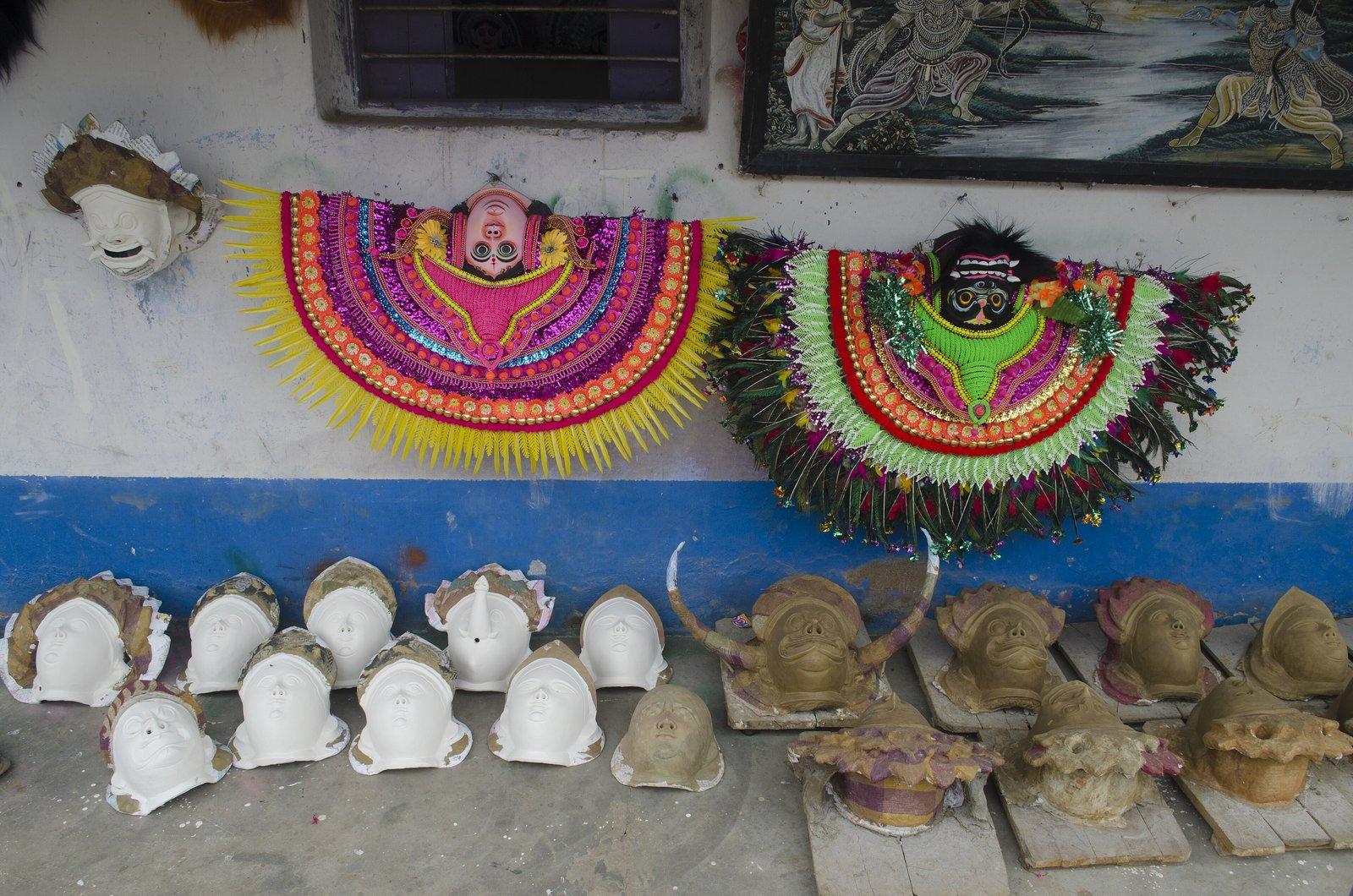
    Turga is often seen on the way from Charida, the mask village, up into the Ajodhya hills, together with Khairabera Dam, the Lahariya temple and the Lower Dam further on.

Gallery
Photos

Thurga Dam in pictures

Photos coming soon

We're putting together our own photographs of Thurga Dam. Been there with us? We'd love to see yours.

Getting there
From Rangamati

Where it lies

Thurga Dam is 9 km by road from the resort, to the north. A local guide, sightseeing cab or driver can be arranged on request.

The drive
Drive north along the Balarampur–Baghmundi road (SH4) to Baghmundi, then turn east onto the Ajodhya Hill road, the road that leads on to Turga Falls, Bamni Falls and the PPSP dams. A short branch on the left leads to the dam.
Open in Google Maps
10 km25 km50 km100 kmNThurga Dam
Rings show straight-line distance from the resort; the road is longer.

Before you go

Safety
Contracts for the Turga Pumped Storage Project's access road and tunnel were being let in 2026; respect any fencing or closures around the dam once work begins.

Through the year
Seasons & festivals

When to go

  • Monsoon

    July – September

    The monsoon, from June to September, brings the Turga stream and the falls above the dam to life.

  • Winter

    October – February

    The cool, dry months are the main tourist season in the Ajodhya hills and the most comfortable time for a day by the water.

Good to know
Questions

Frequently asked questions

How far is Turga Dam from Rangamati Eco Resort?

About 9 km by road, via Baghmundi.

Is Turga Dam the same as Turga Falls?

No. The falls are a short way upstream on the same stream; the dam and its reservoir lie below them and are reached by a separate branch road.

Will the Turga power project change the dam?

If it goes ahead as planned, yes. WBSEDCL intends to enlarge the existing dam as the project's lower reservoir and build an upper dam upstream. In August 2026 a contractor was chosen for the access road and main tunnel, with the formal award awaited.

Can it be combined with other places?

Yes. Turga Falls is on the same road, and the Lower Dam, the Lahariya temple and Bamni Falls lie further into the hills. The resort can arrange a sightseeing cab.

Make a day of it
Close by

Nearby places

Other places close to this one, so you can see a few in a single trip.

Sources: en.wikipedia.org · portal.wbsedcl.in · constructionworld.in · openstreetmap.org · purulia.gov.in · outlookindia.com · downtoearth.org.in · downtoearth.org.in · india.mongabay.com · sandrp.in · powerpeakdigest.com · tv9bangla.com · bartamanpatrika.com · bn.wikipedia.org · en.wikipedia.org · en.wikivoyage.org · openstreetmap.org · router.project-osrm.org

Make Rangamati your base.

Rangamati is your base for the Ajodhya hills — tell us your dates and we'll plan the drive.

WhatsApp us

Book your stay

Check availability

Check-in 10:00 AM · Check-out 9:00 AM · Meal package ₹1,600 per head / per day

Opens WhatsApp with your details filled in. Prefer to talk? Call +91 96417 88198