At a glance
- Bamni and Turga (Thurga) Falls are the two falls most visitors see, 13 km and 11 km from the resort on the Ajodhya Hill road.
- Neither has a road to the water: Turga is a short rocky forest walk, Bamni a steep descent on narrow, uneven steps.
- The falls are fullest from the monsoon (June–September) into winter and thin out, sometimes drying up, by early summer.
- Don't bathe in the pools: hill streams here rise suddenly, and two students had to be rescued from a flash flood at Bamni in 2019.
- Machkanda Falls, reached via Khairabera, is about as tall as Bamni but hard to reach; go only with a local guide.
- For bigger falls, Hundru, Dassam and Jonha in Jharkhand are each a long day trip from the hills.
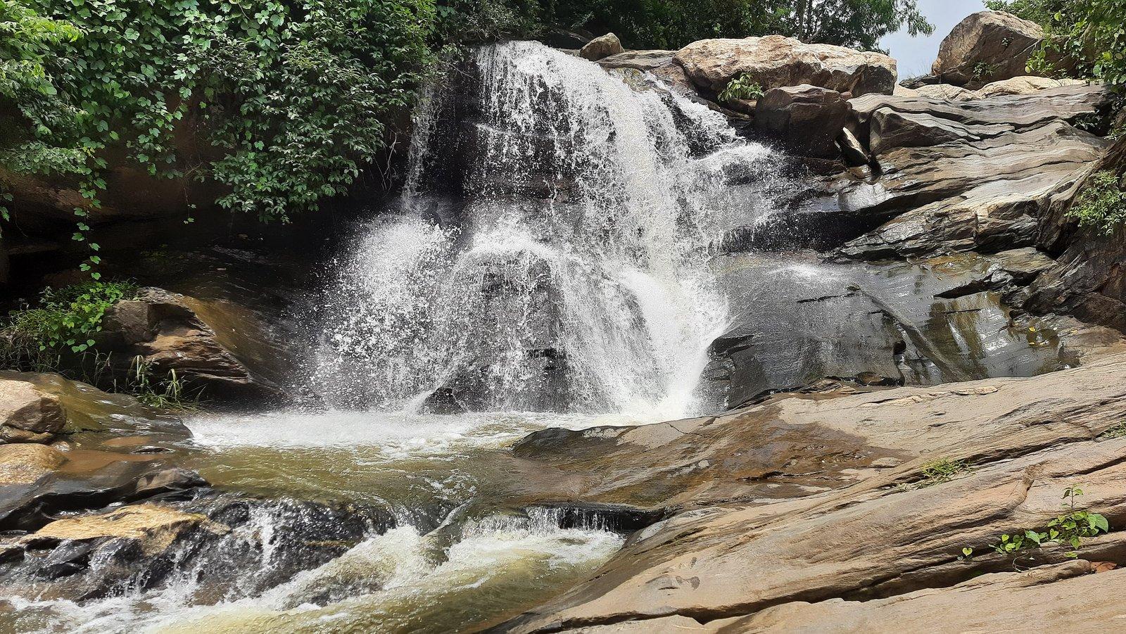
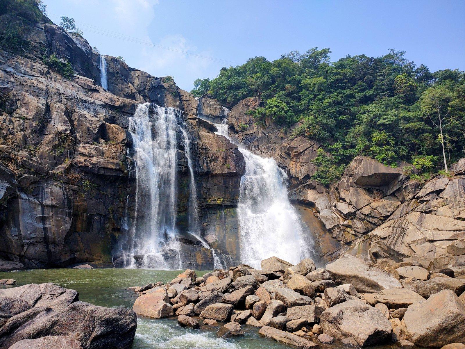
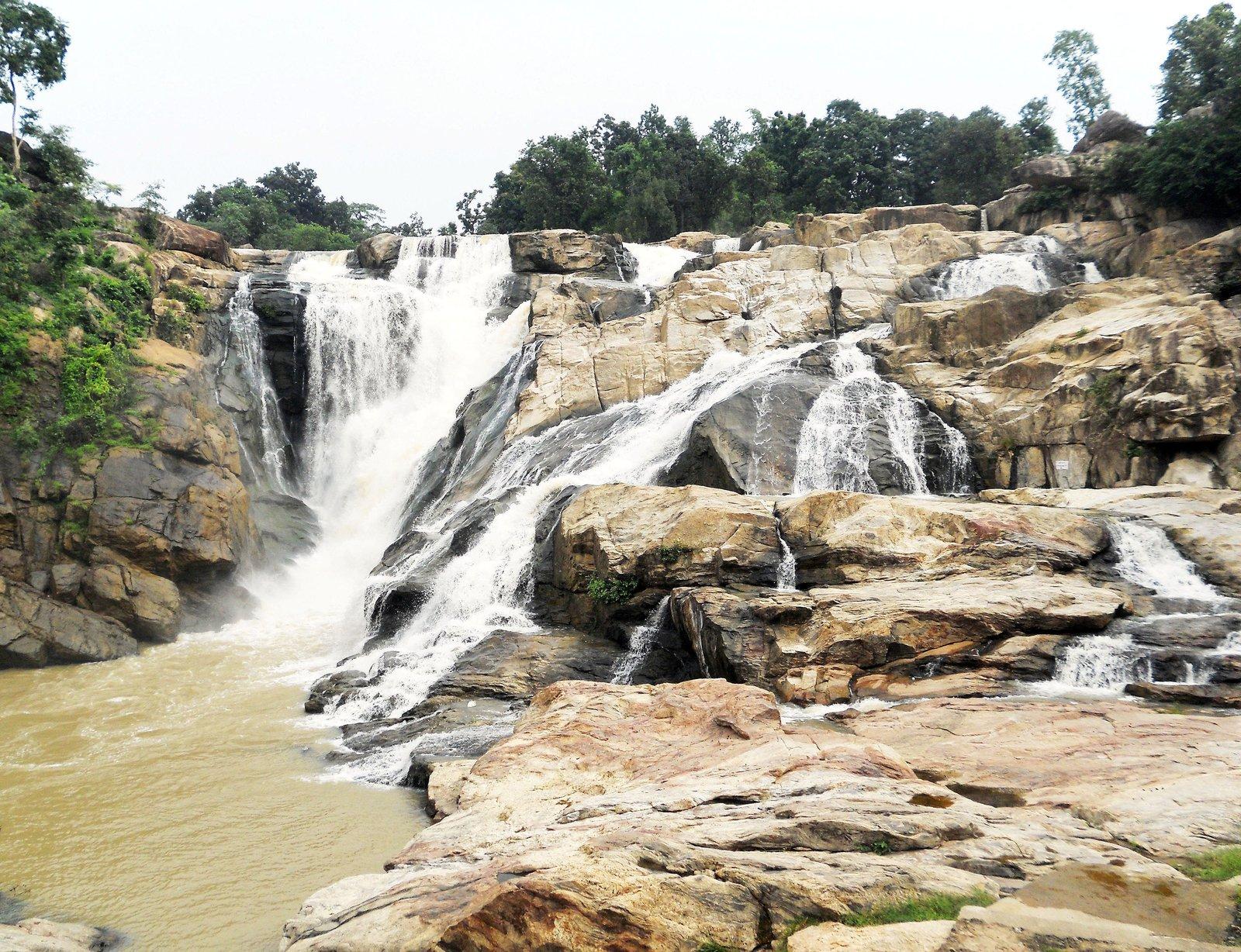
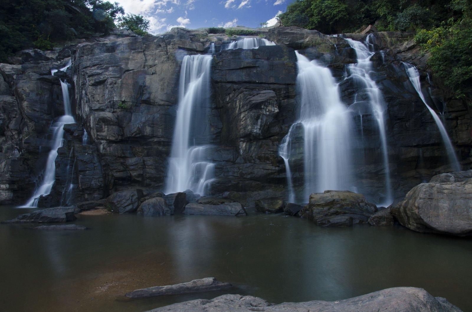
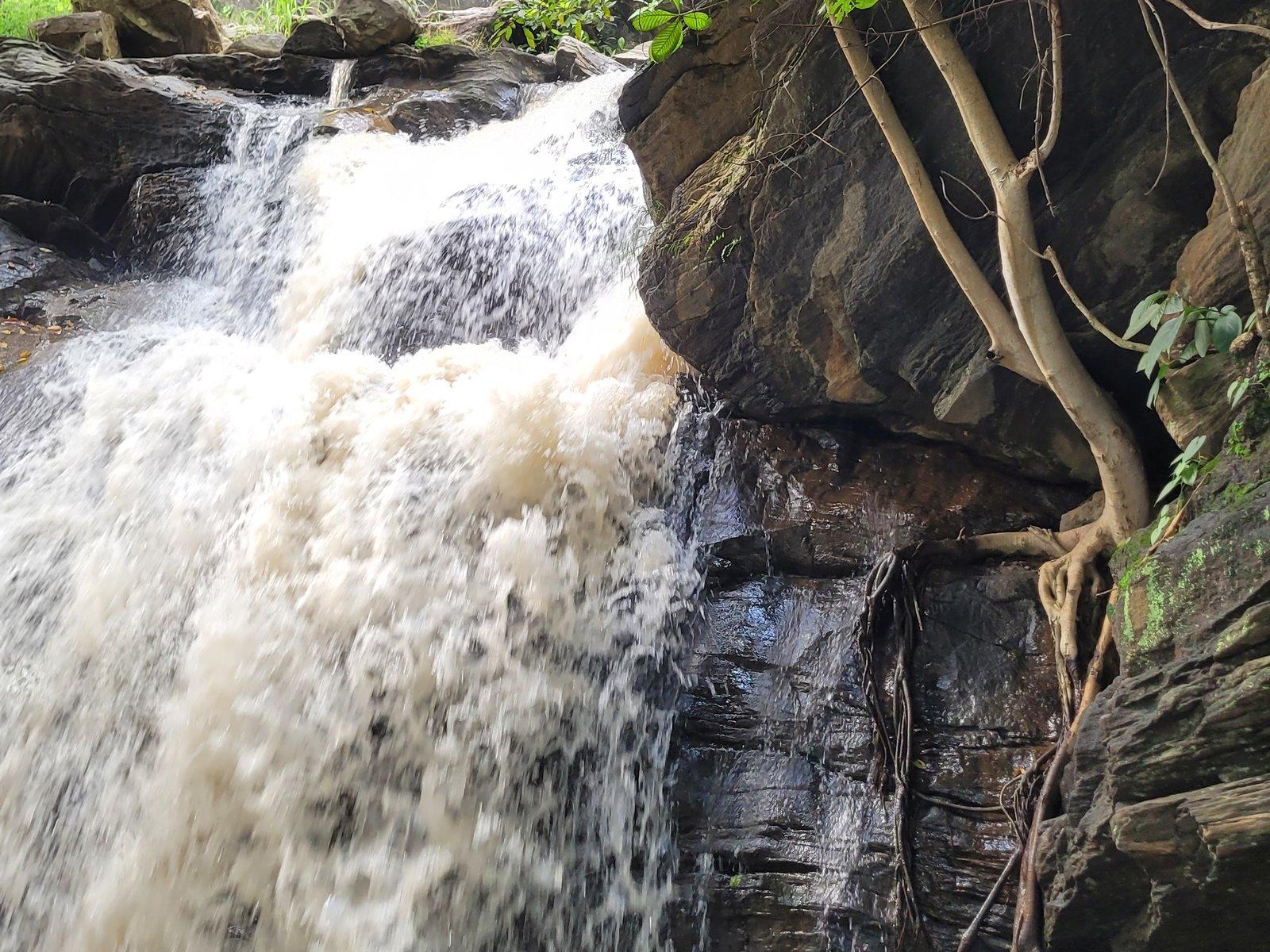
The best-known waterfalls in Purulia are Bamni Falls and Turga (Thurga) Falls, two cascades on the southern edge of the Ajodhya Hills, 13 km and 11 km by road from our cottages at the foot of Matha Buru. Both run fullest from the monsoon (June to September) into early winter and thin out by summer. Neither has a road to the water: Turga is a short forest walk, Bamni a steep climb down. At both, the pools are for looking at, not bathing in.
Which waterfalls are there in Purulia?
The Ajodhya range ends in steep scarps where the plateau drops to the plains, and its streams fall off that edge. A 2023 field survey of the hills, published in the journal Tourism and Hospitality, listed five falls and rapids worth a visit:
| Waterfall | Approx. height (2023 survey) | Where | From the resort |
|---|---|---|---|
| Bamni Falls | 52 m | Southern edge, Ajodhya Hill road | 13 km |
| Turga (Thurga) Falls | 22 m | Southern edge, Ajodhya Hill road | 11 km |
| Machkanda Falls | 50 m | North-west, reached via Khairabera | Beyond Khairabera Dam (22 km) |
| Ghageswari Falls | 26 m | North-east of the plateau | Not documented |
| Dauri khal (rapids) | 24 m | Southern edge of the plateau | Not documented |
The survey's visitors rated Bamni and Machkanda the most remarkable, but it noted that few people reach Machkanda because access is difficult. In practice, a waterfall day in the Ajodhya Hills means Bamni and Turga, which sit a few kilometres apart on the same road. Treat all heights as approximate: figures repeated online vary, and some have no source at all.
Bamni Falls: the best known, and the hardest work
Bamni is the fall most people mean when they talk about the waterfalls of the Ayodhya Hills. The stream drops in stages over boulders and dark rock in thick forest, at about 434 m above sea level. Cars stop beside the road about 6 km up the Ajodhya Hill road from Baghmundi, and you can glimpse white water through the trees before you start down.
The way down is the catch. Steps cover part of the descent, but they are narrow and uneven, and published counts range so widely, from about 100 to 800, that none is worth quoting. The path reaches the upper falls first. There is no proper path between the upper and lower sections, so getting to the foot means working your way down over rock. Those who make it get the full view up the cascade and out over the water below.
- Allow plenty of time, and keep energy in reserve: the climb back is the hard part.
- Wear shoes with a firm grip and carry water.
- If the full descent is too much, the upper section and the glimpses from near the road still give a sense of the falls.
Bamni is also the name of the stream. It was one of four Ajodhya streams marked out for power dams in a 1979 state plan, and below the falls it runs on towards the hills' power-project reservoirs. Our explainer on the Purulia Pumped Storage Project tells that story.
Turga (Thurga) Falls: clear water, shorter walk
Turga Falls is about 4 km along the same hill road from Baghmundi, just off the road on the left. The district administration singles out its water, so clear, it says, that you can see through it as if it were glass. The 2023 survey put the drop at about 22 m.
There is no motorable road to the water. From where vehicles stop, a rocky, lightly wooded trail leads to the falls, with glimpses of white water through the trees on the way, and a viewpoint is mapped right beside the cascade. Side paths around Turga and Bamni quickly lead into wild country, so keep to the main track.
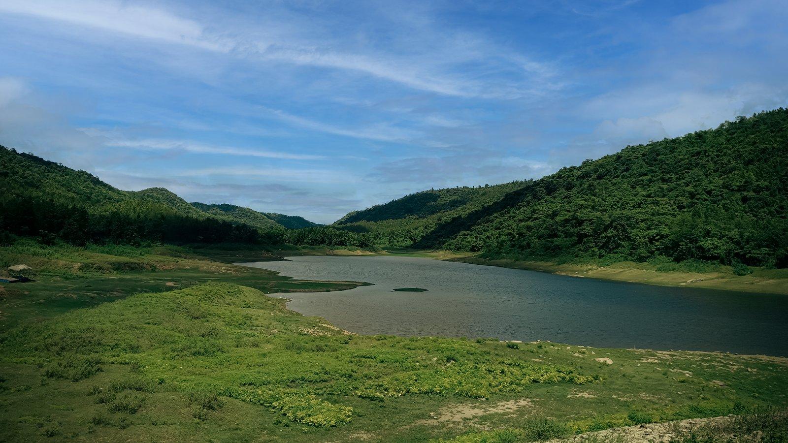
Below the falls the stream fills the reservoir of Turga Dam, 9 km from the resort, a quiet place to sit afterwards. The setting may change in the coming years. WBSEDCL plans a 1,000 MW pumped storage scheme on this stream, with a new upper dam further up the valley, and contracts for its access road and main tunnel were being let in 2026. The project has long been opposed by Santal villages in the area. Respect any fencing or closures you find.
Machkanda and the lesser-known falls
Machkanda Falls, on the north-western side of the hills, is the one keen walkers ask about. Wikipedia's list of Ajodhya sights places it about 22 km from Baghmundi, reached via Khairabera Dam, and the 2023 survey describes a horsetail-style fall of about 50 m. The authors found that access is the problem, and even suggested a ropeway from Chemtaburu hill to open it up to more visitors.
We have not found a reliable published description of the route, so treat Machkanda as a guided outing rather than a casual stop. Go with someone local who knows the path, start early and be back on the road well before dusk. The survey's other two sites, Ghageswari Falls in the north-east of the plateau and the Dauri khal rapids on the southern edge, are even less documented. If they interest you, ask a local guide rather than setting out alone.
When do the waterfalls in Purulia flow?
Purulia's falls are fed by rain, not snow or springs, so they follow the monsoon. Most of the year's rain falls between June and September.
- June to September (monsoon): fullest and most powerful, and also most dangerous. Rocks are slippery, leeches are common on the forest paths, and streams can rise suddenly after rain upstream.
- October to February: the best balance. The falls keep running into winter, the paths are drier, and cool weather makes the climb back at Bamni far easier.
- March to May: the falls thin out as the heat builds and can dry up altogether by early summer, when climbing out of Bamni is hard going.
Our destination pages for both falls recommend September to February, and the weeks just after the rains ease give you strong flow with fewer hazards. If you are coming in the rains, our guide to Purulia in the monsoon has more on what to expect.
Safety at the falls
A few more rules worth keeping:
- Keep children well back from wet rock at the edge, and hold their hands on the steps.
- If the water turns muddy or starts rising, move away from the stream at once.
- Stay on the main track; side paths lead into dense forest.
- Be out of the forest before dark. Elephants move through these hills, mostly at night.
- Carry your litter back. Villagers near the hill dams say plastic left by picnickers has made their cattle ill.
Planning a waterfall morning on the Ajodhya road
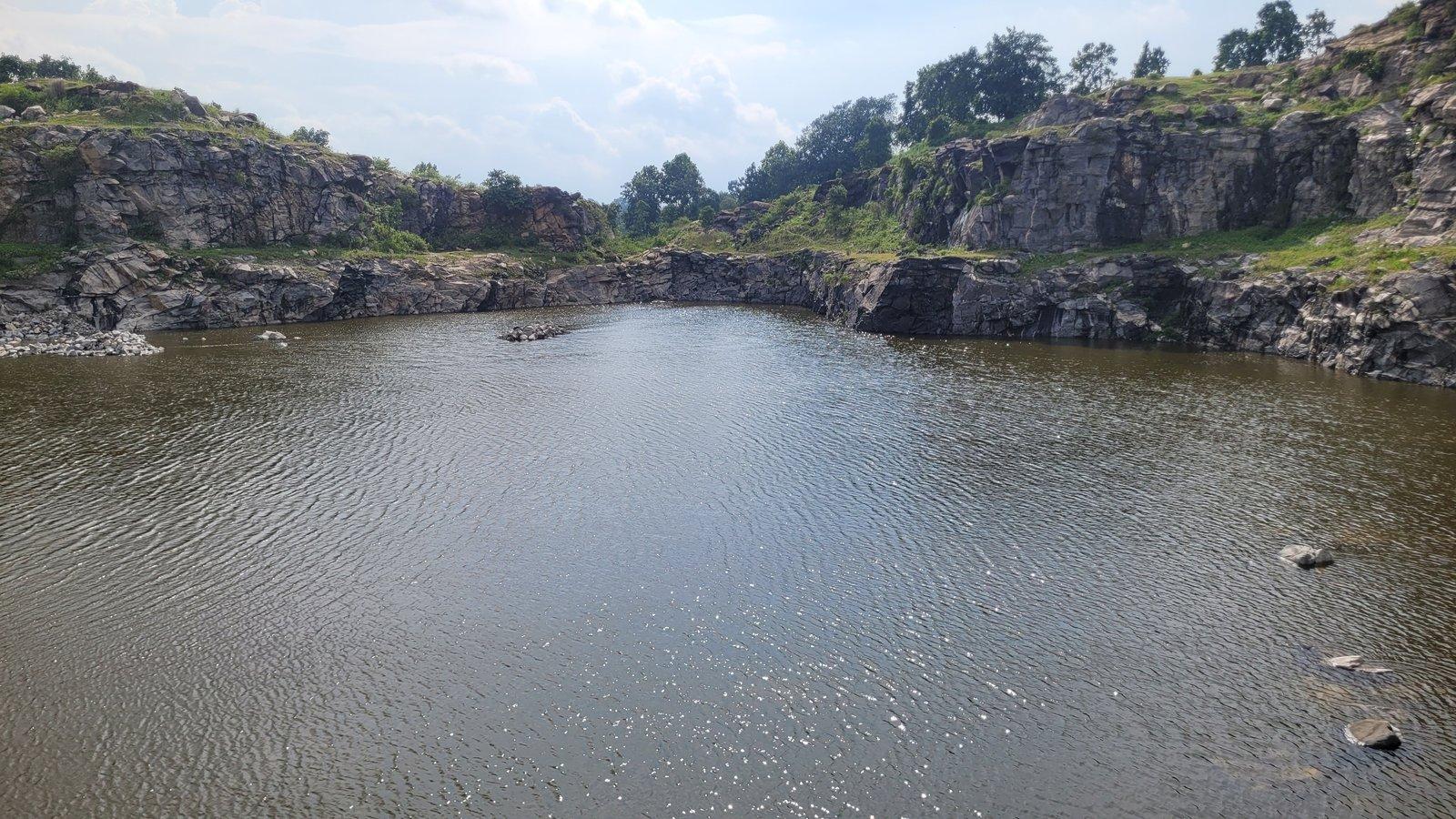
Turga and Bamni lie on the same road up from Baghmundi, so most people see them together, often with Marble Lake, the deep blue quarry lake on a short spur just above Bamni. A practical order:
- Turga Falls first, about 4 km up from Baghmundi: a short walk to start the day.
- Bamni Falls next, while you are fresh and before the midday heat. Give it the most time.
- Marble Lake, a short walk over rocky ground from its parking area.
- Carry on up to Ajodhya Hill Top for lunch, or come back down past the Upper and Lower Dams.
Start early: the walks are cooler, the parking spots quieter, and you leave plenty of daylight for the forest. From Rangamati we can arrange a sightseeing cab, a driver or a local guide on request; see our experiences page.
Bigger falls across the border in Jharkhand
If you want height and volume, the Ranchi plateau to the west has three well-known falls, roughly 80 to 130 km by road from the resort:
- Hundru Falls: the Subarnarekha drops about 98 m, and a steep stairway of roughly 700 to 750 steps leads to the base.
- Dassam Falls: the Kanchi falls about 44 m in several streams. Its deep pool has drowned many people, so watch from the viewing decks.
- Jonha Falls: about 43 m, reached by around 700 steps, with a shallower bed of sand and shingle below.
Each is a full day out on its own. Our Ranchi waterfalls day trip post sets out the routes and which falls pair well.