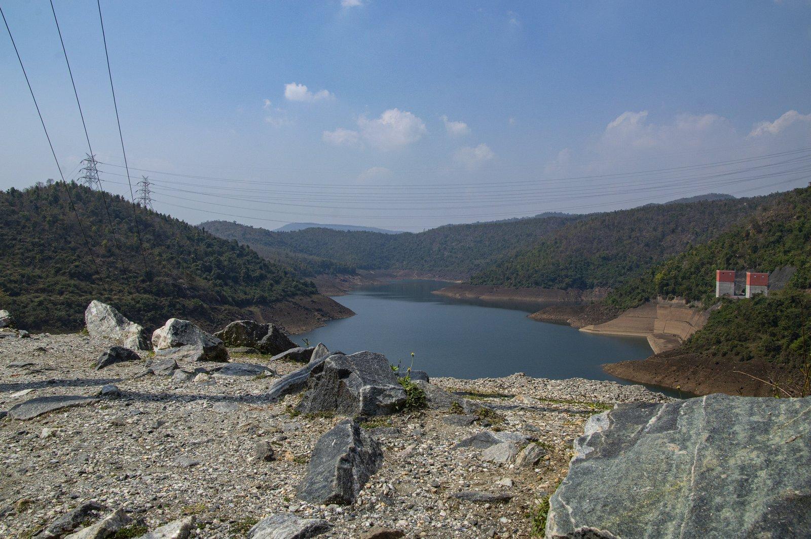
Full day · Ajodhya circuit
- Lower Dam11 km
- Upper Dam16 km
- Marble Lake19 km
- Bamni Falls13 km
- Thurga Falls11 km
- Ajodhya Hill Top20 km
- Mayur Pahar20 km

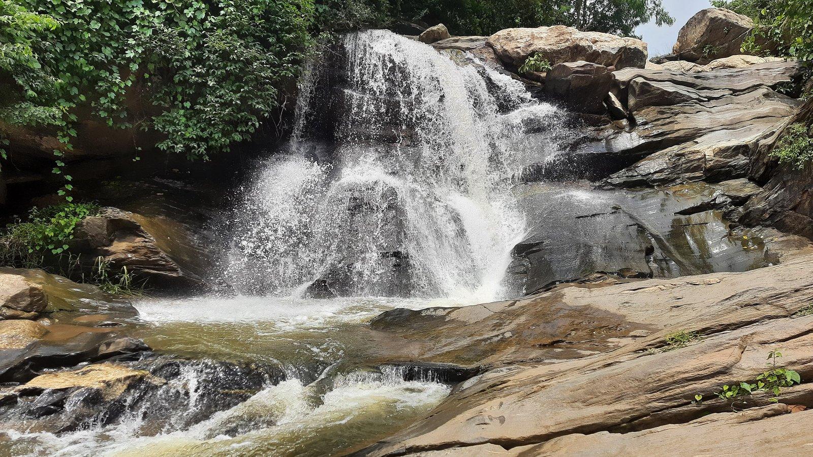
Photo: Sutanu Ghosh YT, CC BY 4.0
Waterfall
A clear-water cascade on the Turga stream, reached by a forest walk
Overview
Waterfall
Turga Falls is a cascading waterfall on the Turga stream in the Ajodhya hills near Baghmundi, just upstream of the Turga Dam reservoir. The district administration singles out the clarity of its water. With Bamni Falls it is one of the two best-known falls of the hills, and like Bamni it is reached on foot: there is no road to the water itself.
The water spills over dark rock into a pool, then runs on down the stream to the Turga reservoir. A viewpoint is mapped right beside the falls. Flow depends entirely on the rains: the falls fill in the monsoon, keep running through winter and thin out as the summer heat dries them.
From where vehicles stop, a rocky, lightly wooded trail leads to the water, and through gaps in the trees you catch glimpses of white water before you arrive. Side paths around Turga and Bamni can quickly lead into wild country, so keep to the main track.
WBSEDCL's published coordinates place the planned upper dam of the Turga Pumped Storage Project a little way up the same stream, with the existing Turga Dam below, so the setting of the falls may change in the coming years.
Past & present
History & stories
The Turga stream was marked out for a pumped storage scheme as early as 1979–80. The project, now planned at 1,000 MW, has been contested by local villages and in the courts, and in 2026 a works package for its access road and main tunnel was being awarded.
When you're there
See & do
Follow the rocky trail from the road; the walk through light forest is part of the visit.
A mapped viewpoint stands right beside the cascade.
Continue to the reservoir the stream feeds; a 2023 traveller went from the falls to the dam along the Ajodhya Hill road.
Bamni Falls is a little further up the same road, and the two are commonly seen together.
Gallery
Photos
Photos coming soon
We're putting together our own photographs of Thurga Falls. Been there with us? We'd love to see yours.
Getting there
From Rangamati
Thurga Falls is 11 km by road from the resort, to the north. A local guide, sightseeing cab or driver can be arranged on request.
Before you go
Through the year
Seasons & festivals
March – June
The falls thin out as the heat builds and can dry up altogether by early summer.
July – September
Fullest and most powerful, but also most dangerous: rocks are slippery and the stream can rise fast.
October – February
The falls keep flowing through the cool months, which are the most comfortable time for the walk.
Good to know
Questions
About 11 km by road, via Baghmundi and the Ajodhya Hill road.
No. There is no motorable road to the water; the last stretch is a walk along a rocky, lightly forested trail.
From the monsoon (June to September) through the winter. It thins as the heat builds and can dry up in summer.
We advise against it. Streams in these hills can rise suddenly after rain; in 2019 police rescued two students caught by a flash flood while bathing at nearby Bamni Falls.
Yes. All three are reached from the same hill road and are often seen together. The resort can arrange a cab or driver.
Make a day of it
Close by
Other places close to this one, so you can see a few in a single trip.
On our suggested itineraries
From our travel journal
 Nature & outdoors
 Places to see
 Places to see
Sources: purulia.gov.in · en.wikipedia.org · outlooktraveller.com · outlookindia.com · en.wikivoyage.org · openstreetmap.org · theholidaystory.com · portal.wbsedcl.in · bn.wikipedia.org · bn.wikipedia.org · downtoearth.org.in · constructionworld.in · tv9bangla.com · etvbharat.com · openstreetmap.org · en.wikivoyage.org · openstreetmap.org · router.project-osrm.org
Rangamati is your base for the Ajodhya hills — tell us your dates and we'll plan the drive.