Full day · Ajodhya circuit
- Lower Dam11 km
- Upper Dam16 km
- Marble Lake19 km
- Bamni Falls13 km
- Thurga Falls11 km
- Ajodhya Hill Top20 km
- Mayur Pahar20 km

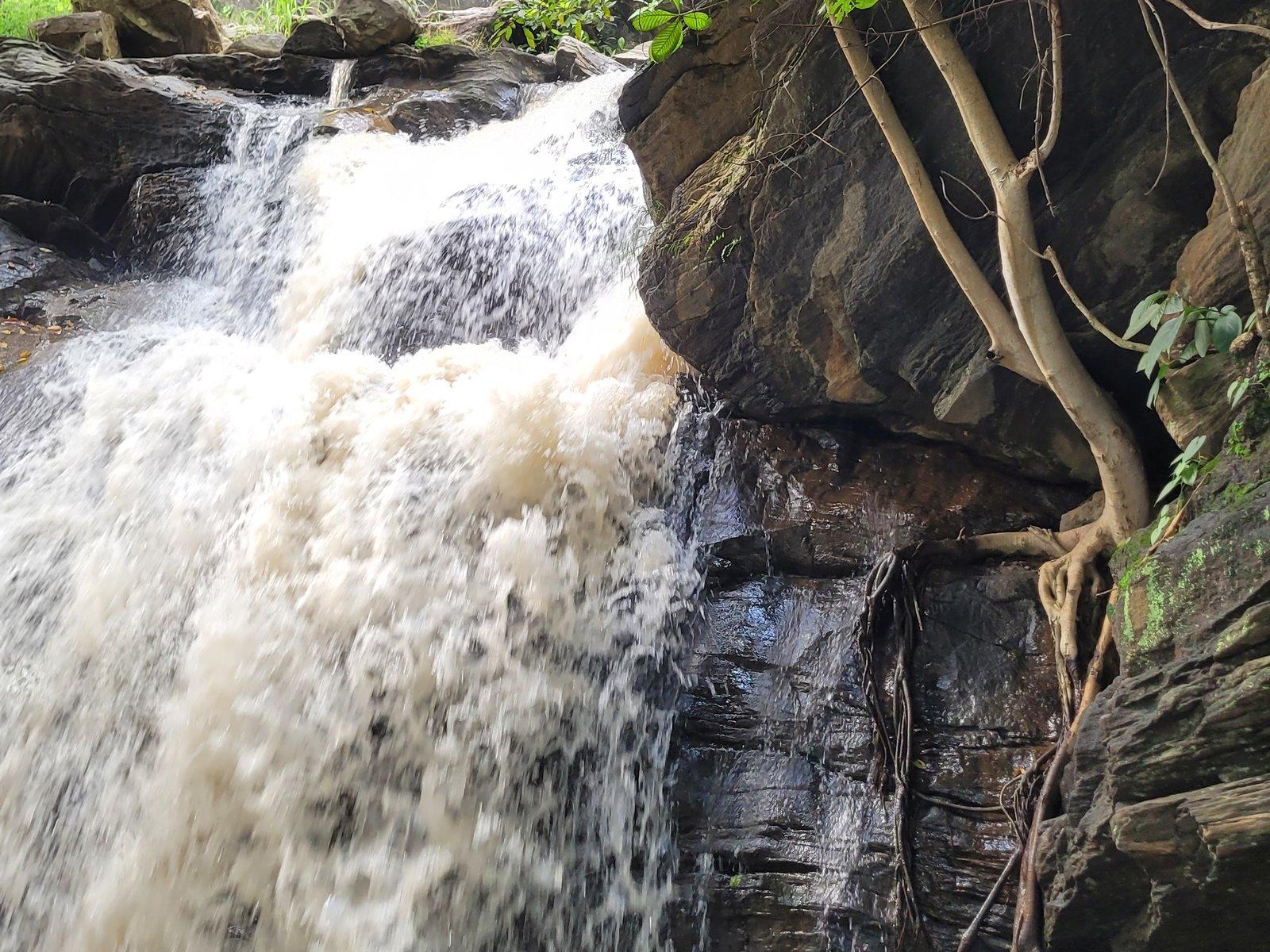
Photo: WikiForRay, CC0 1.0
Waterfall
The best-known waterfall of the Ajodhya hills, down a long forest stair
Overview
Waterfall
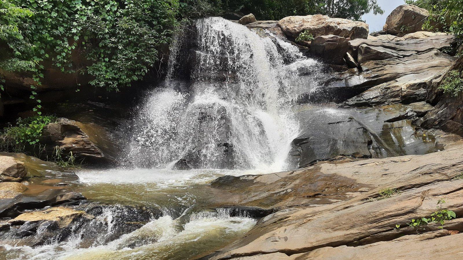
Bamni Falls, at about 434 m in the Ajodhya hills, is the range's best-known waterfall, called its most attractive by a 2026 Bartaman travel piece. The Bamni stream drops in stages over boulders and dark rock in dense forest, and reaching it means a steep descent on narrow, rough steps from the road. It is fullest in and just after the monsoon, which is also when it is most dangerous.
The falls come in two main sections. The path from the road reaches the upper part first; there is no proper path between the upper and lower falls, so getting to the bottom means working your way down the hillside, which takes time. From the foot, the view up to the cascade and out over the broad water below repays the effort.
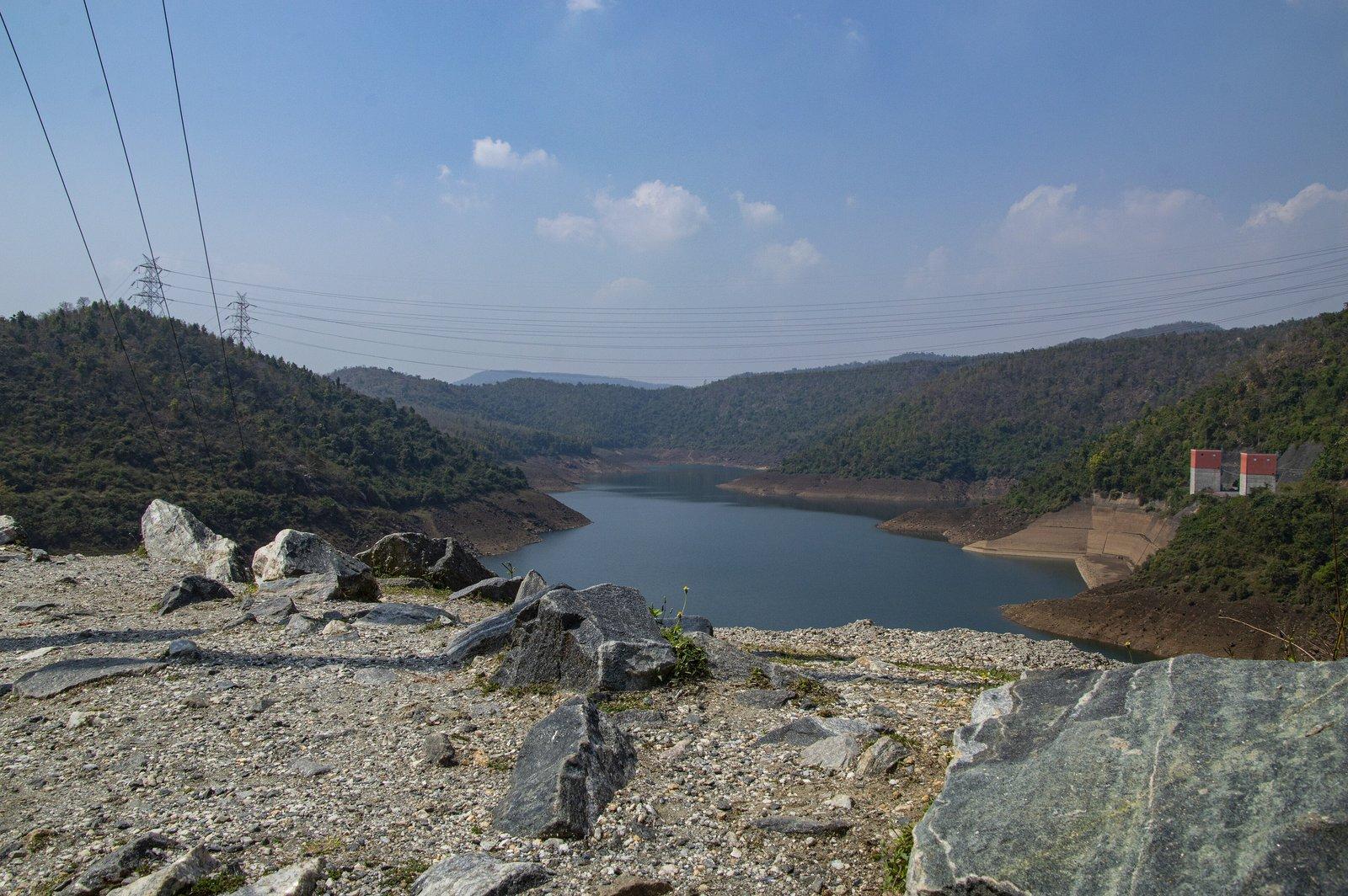
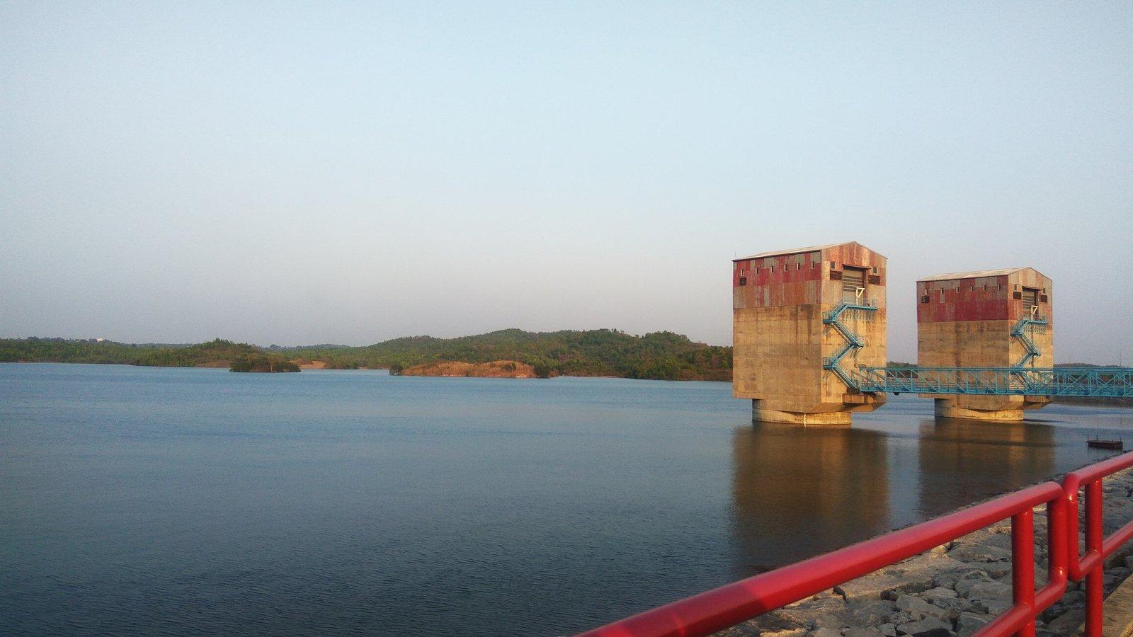
The approach is a forest walk: from the car park you can glimpse white water through the trees before starting down. Steps cover part of the way, but they are narrow and uneven, and published counts vary so widely that none can be relied on. Below the falls the stream runs on towards the lower reservoir of the Purulia Pumped Storage Project, part of which can be seen from the bottom.
Past & present
History & stories
Bamni is the name of the stream as well as the falls, and it was one of four Ajodhya streams in the state's 1979 plan for pumped storage dams. News reports and campaigners describe the Purulia Pumped Storage Project, inaugurated in 2008, as built on the Bamni, though Wikipedia names its stream the Kistobazar nala. Villagers and activists say the project has badly damaged the Bamni.
When you're there
See & do
Fit visitors can work down to the lower falls for the full view of the cascade and the water below; allow plenty of time for the slow climb back.
If the descent is too much, the upper section and the glimpses from near the car park still give a sense of the falls.
Turga Falls lies a little way back down the same road, and the two are often visited on one trip.
Gallery
Photos
Photos coming soon
We're putting together our own photographs of Bamni Falls. Been there with us? We'd love to see yours.
Getting there
From Rangamati
Bamni Falls is 13 km by road from the resort, to the north. A local guide, sightseeing cab or driver can be arranged on request.
Before you go
Through the year
Seasons & festivals
March – June
The falls shrink as the heat builds and can dry up by summer, and the climb back is much harder in the heat.
July – September
Fullest and most dramatic, but this is when flash floods, slippery rock and leeches make the falls most hazardous.
October – February
The falls usually keep flowing into winter, and the cool weather makes the descent and climb far easier.
Good to know
Questions
About 13 km by road, via Baghmundi and the Ajodhya Hill road.
Fairly demanding. A steep path with narrow, uneven steps leads down from the road, and reaching the lower falls means scrambling over rock. Going down and back up takes a good while.
Please don't. The water can rise suddenly: in July 2019 two college students bathing here were caught by a flash flood and had to be rescued by police.
Only with care, and the full descent is not for everyone. Those who find steep steps difficult can glimpse the falls from near the car park.
Yes. Both are on the same hill road, and travellers often see them on one trip. The resort can arrange a cab or driver.
September to February. The falls are fullest just after the monsoon and the weather is cool for the climb; they can dry up by summer.
Make a day of it
Close by
Other places close to this one, so you can see a few in a single trip.
On our suggested itineraries
From our travel journal
Nature & outdoorsSeasons & festivals Places to see
Sources: en.wikipedia.org · purulia.gov.in · outlooktraveller.com · etvbharat.com · en.wikivoyage.org · openstreetmap.org · theholidaystory.com · tripoto.com · outlookindia.com · tv9bangla.com · bartamanpatrika.com · nurphoto.com · india.mongabay.com · sandrp.in · downtoearth.org.in · downtoearth.org.in · bn.wikipedia.org · travelchhutichhuti.com · en.wikipedia.org · openstreetmap.org · en.wikivoyage.org · openstreetmap.org · router.project-osrm.org
Rangamati is your base for the Ajodhya hills — tell us your dates and we'll plan the drive.