At a glance
- The shortest road from central Kolkata to the foot of the Ajodhya Hills at Bagmundi is about 310 km, via Arambagh, Bishnupur, Bankura and Purulia.
- The Durgapur Expressway route is about 370 km but has more dual carriageway; the Kharagpur–Jhargram–Bandwan route is about 313 km.
- All three routes finish on NH18 to Balarampur and SH4 past the Matha forest to Bagmundi.
- Allow seven to eight hours with breaks, and leave Kolkata early so the last forest stretches are driven in daylight.
- Elephants move through the Ajodhya and Jhargram forests in some seasons; avoid forest roads after dark.
Kolkata to Ajodhya Hills by road is about 310 km to Bagmundi, at the southern foot of the hills, by the shortest route: out through Arambagh to Bishnupur and Bankura, on to Purulia, then down NH18 to Balarampur and along SH4. Allow seven to eight hours with breaks. The Durgapur Expressway route is longer, at about 370 km, and a southern route via Kharagpur, Jhargram and Bandwan is about 313 km.
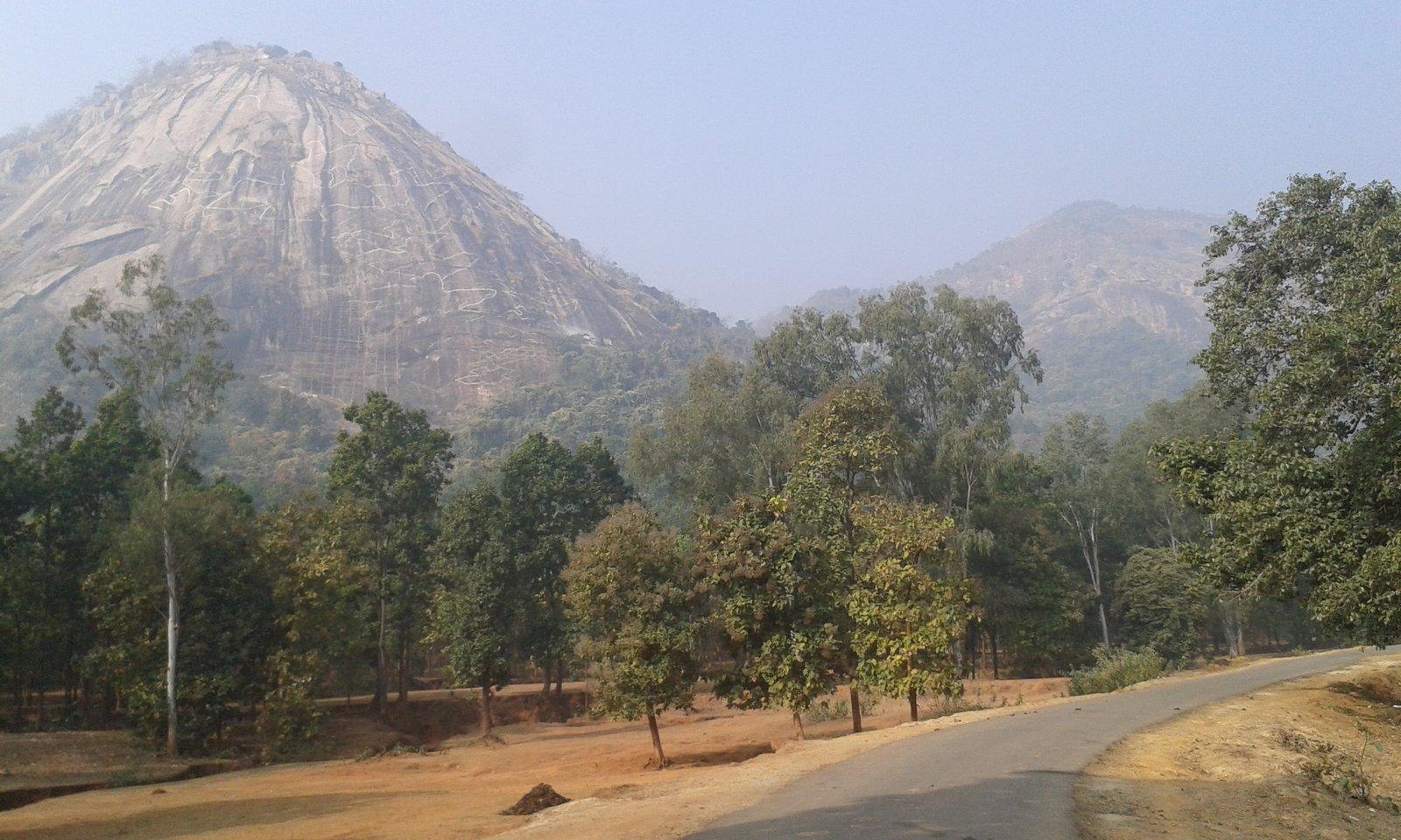
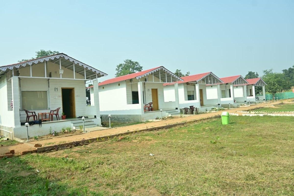
All three meet at Balarampur, so the last half-hour is the same: SH4 past the bird carvings of Pakhi Pahar and the Matha forest below Matha Buru, where our cottages are, to Bagmundi and the hill road.
How far is Ajodhya Hills from Kolkata by road?
The answer depends on where you start in Kolkata and where in the hills you are going. Measured from central Kolkata (Esplanade) on OpenStreetMap routing:
| Destination | Approx. distance | Notes |
|---|---|---|
| Purulia town | 255 km | Via Bishnupur and Bankura |
| Bagmundi and the Matha forest | 310 km | The southern foot of the hills |
| Ajodhya Hill Top | about 330 km | 20 km up the hill road from the Matha forest |
Wikipedia lists three roads up onto the Ajodhya plateau: via Bagmundi, via Sirkabad and via Jhalda. If you are staying on the plateau itself, the Sirkabad road from the Purulia side is the more direct climb; the hill top is about 15 km from Sirkabad. For Bagmundi and the southern side, carry on to Balarampur as described below.
Route 1: via Arambagh, Bishnupur and Bankura (about 310 km)
This is the shortest and most direct route, and the one map apps usually pick from central Kolkata.
- Leave Kolkata westwards for Tarakeswar and Arambagh.
- Continue to Kotulpur and Bishnupur, about 140 km from the city.
- Drive on to Bankura, then take NH314 west through Chhatna to Purulia.
- Skirt Purulia town on the bypass and take NH18 south-west to Balarampur.
- At Balarampur turn onto SH4 for the last stretch past Pakhi Pahar to the Matha forest and Bagmundi.
The big advantage is Bishnupur, a little under halfway, which makes a natural breakfast or lunch stop. The old Malla capital is known for its terracotta temples, and an hour there breaks the drive well. Beyond Bankura the land turns into the rolling red-earth country of Purulia.
Approximate distances from central Kolkata along this route:
| Town | Approx. km from Kolkata |
|---|---|
| Tarakeswar | 57 |
| Kotulpur | 103 |
| Bishnupur | 140 |
| Bankura | 170 |
| Purulia (bypass) | 255 |
| Balarampur | 290 |
| Matha forest, Bagmundi | 310 |
Route 2: via the Durgapur Expressway (about 370 km)
The Durgapur Expressway is part of NH19, the Kolkata–Delhi highway. This route follows it to Durgapur, then turns south across the Damodar to Bankura, about 44 km away, and joins Route 1 for NH314, Purulia, NH18 and SH4.
It is around 60 km longer, but more of it is dual carriageway, which partly makes up for the extra distance. It suits travellers starting from north Kolkata or the Dankuni side, and anyone combining the trip with a stop in Durgapur. Keep your FASTag topped up for the national-highway toll plazas.
A variant carries on along NH19 to Asansol and then south through Neturia and Raghunathpur to Purulia. It is about the same length and passes close to Joy Chandi Pahar near Raghunathpur, so it is worth considering if you plan to stop there, or to add Garh Panchkot on the way.
Route 3: via Kharagpur, Jhargram and Bandwan (about 313 km)
From south Kolkata this can be the easier start. Take NH16 to Kharagpur, about 117 km, then NH49 towards Jhargram. From the Jhargram side, state roads run north-west through Silda to Bandwan in Purulia district, then on to Barabazar and SH4 to Balarampur and the Matha forest.
The last third crosses forest country around Jhargram and Bandwan. It is a pleasant drive by day but the one route where you most need to be out of the forest before dark, as elephant herds move through the Jhargram forests.
Which route should you choose?
| Route | Approx. distance | Best for | Watch out for |
|---|---|---|---|
| Arambagh–Bishnupur–Bankura | 310 km | The shortest drive; a Bishnupur stop | Small-town traffic on the way |
| Durgapur Expressway–Bankura | 370 km | North Kolkata starts; more dual carriageway | Extra distance and tolls |
| Kharagpur–Jhargram–Bandwan | 313 km | South Kolkata starts | Forest stretches; drive them in daylight |
Whichever you pick, check a live map before you leave for diversions and road works, and download offline maps: mobile signal can be patchy in parts of the hills.
Fuel, food and breaks
- Fuel: fill up in a big town such as Bishnupur, Bankura, Durgapur, Kharagpur or Purulia. Don't count on finding a pump once you are in the hills.
- Food: dhabas line the highways, and Bishnupur, Bankura and Purulia have proper restaurants. Lunch in Purulia or Bankura gets you to Bagmundi by mid-afternoon if you left early.
- Breaks: stop every two hours or so. On the final SH4 stretch, Pakhi Pahar's carved birds can be seen from the road.
- Water and snacks: carry both for the last stretch and for sightseeing days in the hills, where shops are few.
Driving at night: what to know
The plain advice is to leave Kolkata early and arrive in daylight.
Village roads are also unlit, with cattle, cyclists and people walking on them after dark, and speed-breakers that are easy to miss. The hill road from Bagmundi up to the plateau is narrow and winding; in the monsoon, take extra care on stream crossings after heavy rain.
When is the best time to drive?
The roads are open all year, but the season shapes the trip. October to March is the main season, with cool days, and the time when most visitors come, so expect company at the viewpoints on winter weekends. From April the heat builds, and Purulia summers can reach about 40 °C, so start at dawn and rest through the afternoon. In the monsoon, from June to September, the countryside turns green, but allow extra time for wet roads and slower going. Our guide to the best time to visit Purulia has the full picture.
Self-drive or hired cab?
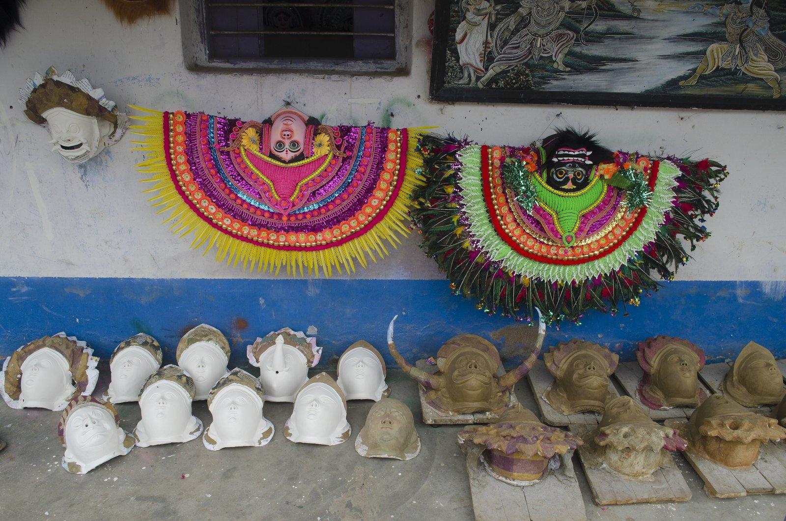
Self-drive gives you the most freedom: sunrise at a dam, an unplanned stop at the Charida mask village, a detour to a viewpoint. Rangamati has free car parking for guests.
A hired cab from Kolkata saves you the driving but usually means paying for the car for the whole trip, including the days it sits at the resort. Agree in advance whether tolls, parking, night charges and the driver's stay and meals are included.
Train plus a local cab is often the most relaxed option: a train to Barabhum or Purulia, then a car for the last stretch and for sightseeing. The resort can arrange station pickup and sightseeing cabs with drivers on request; see our experiences page and the guide to Kolkata to Purulia by train.
A sample drive plan
Leave Kolkata by about 6 am on Route 1 to clear the city before traffic builds. Breakfast near Bishnupur, and stop again at Bankura or Purulia for lunch. That gets you to the Matha forest in the afternoon, with time to settle in before the first evening.
The next morning, take the hill road from Bagmundi to Ajodhya Hill Top and the dams and falls on the way. For a full weekend plan, see our weekend trip from Kolkata, and for other ways in, how to reach Purulia.