Ajodhya Hill Top is the settlement on the long, flat ridge that crowns the Ajodhya Hills, at about 575 m above sea level. It is the usual base for exploring the plateau, with lodges and government rest houses, a small bazaar and a health centre, and Sita Kund, the Ram Mandir and Mayur Pahar all close by.
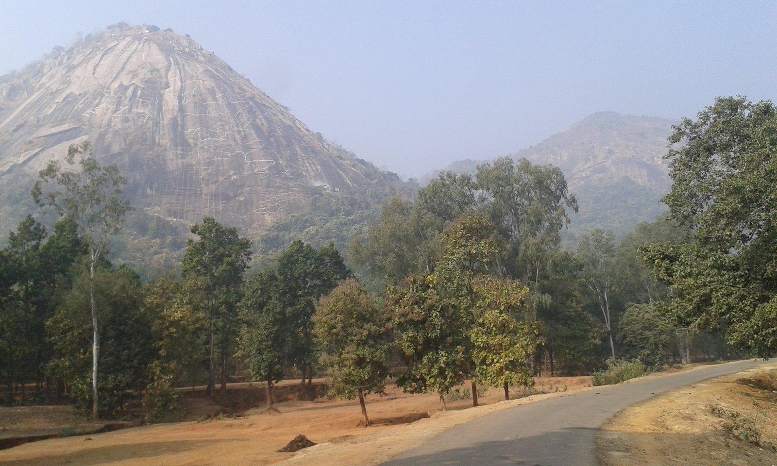
The Ajodhya range is the easternmost part of the Chota Nagpur Plateau, and its top is not a peak but a long, flat ridge. Parts of it are almost level, with small ponds and large trees on gentle slopes and a stand of pine near the forest office. Ajodhya village, at its centre, had 1,468 residents at the 2011 census.
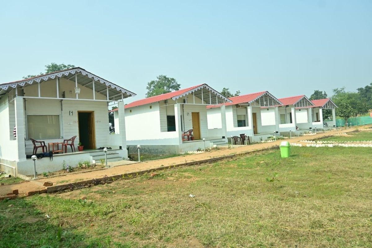
Bengali Wikipedia calls it the base camp of the hills, and most of the area's accommodation is here: a Forest Rest House, the WBCADC government guest house and rest houses near the bazaar on the Sirkabad road, a state tourist lodge and a growing number of private resorts. There is also a Bharat Sevashram Sangha ashram and a 12-bed primary health centre.
Roads climb to the top from three directions: from Baghmundi to the west, and from Sirkabad and Jhalda. The hills are also a popular place for young mountaineers to learn the basics of rock climbing.