Full day · Ajodhya circuit
- Lower Dam11 km
- Upper Dam16 km
- Marble Lake19 km
- Bamni Falls13 km
- Thurga Falls11 km
- Ajodhya Hill Top20 km
- Mayur Pahar20 km

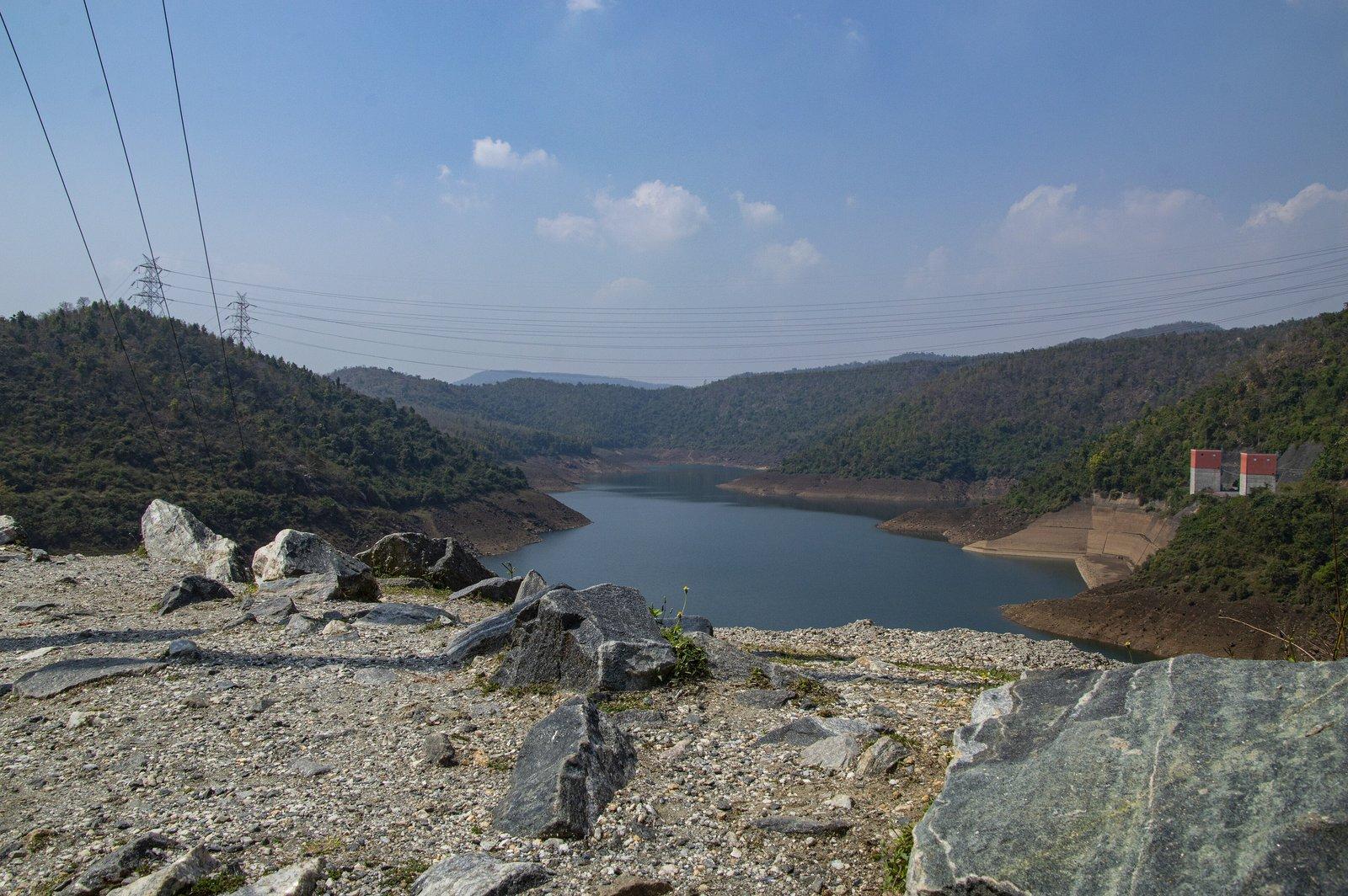
Photo: Paramanu Sarkar, CC BY-SA 4.0
Dam
The 95 m dam holding the Purulia pumped storage scheme's lower lake
Overview
Dam
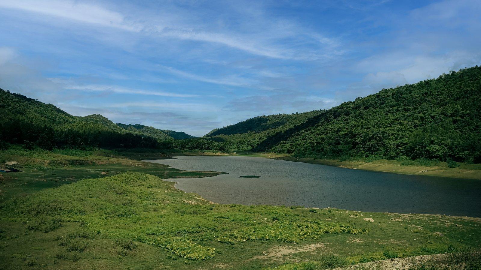
The Lower Dam is the 95 m high rock-fill embankment that holds the lower reservoir of the 900 MW Purulia Pumped Storage Project in the Ajodhya hills. Its long lake of deep blue water winds between forested slopes, and from the dam you look down over the small Lahariya reservoir and the fields below. It is a regular stop on drives up to the Upper Dam and the hilltop.
The dam is 310 m long, built of rock fill around a central clay core, across a hill stream recorded as the Kistobazar nala, a tributary of the Sobha. Its reservoir holds about 13 million cubic metres of usable water and, unusually for a lake, is never at a fixed level.
That is because the dam is one half of a giant battery. When the grid has power to spare, water is pumped from this lake up to the Upper Dam's reservoir; at times of peak demand it runs back down through four reversible 225 MW turbines in a cavern inside the hill. The lake's surface can therefore lie anywhere between 300 m and 337 m above sea level.
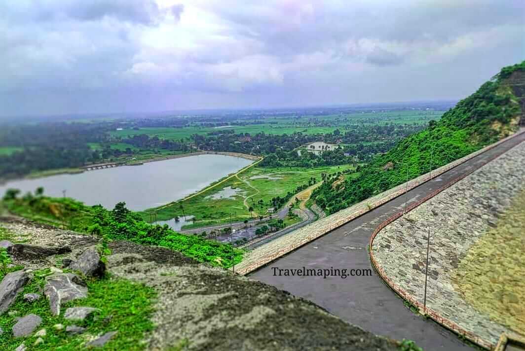
From the road at the dam the view runs one way down the lake between green hills, and the other way over the small Lahariya reservoir, its temple and the farmland at the foot of the range. The road continues uphill to the Upper Dam.
Past & present
History & stories
The project was the first of a series of pumped storage schemes the state proposed for the Ajodhya hills in 1979. Main construction ran from May 2002 to December 2007, funded by a loan from the Japan Bank for International Cooperation, with Japan's Taisei among the builders, at a cost of about ₹2,491 crore. Chief Minister Buddhadeb Bhattacharjee formally inaugurated it on 6 April 2008.
WBSEDCL describes it as India's first closed-loop pumped storage plant. It can begin generating within five minutes, and on 5 April 2020, when lights across India were switched off for nine minutes, it ramped about 700 MW of generation down to zero to help steady the grid. By March 2026 it had generated nearly 20,000 million units.
Its legacy is contested. About 160 ha of forest was diverted for the scheme, and villagers around it say promises of jobs and free electricity made during construction were not kept; WBSEDCL has said no such promises were made. Those memories shape local opposition to the newer Turga project nearby.
When you're there
See & do
Stop at the viewpoint beside the dam to look along the reservoir as it winds between the hills.
Look the other way for the small Lahariya reservoir and the fields around it at the foot of the hills; the Lahariya Shiva temple stands at its edge.
The road climbs on from the Lower Dam to the Upper Dam, whose reservoir lies about 195 m higher and holds the water for peak hours.
Gallery
Photos
Photos coming soon
We're putting together our own photographs of Lower Dam. Been there with us? We'd love to see yours.
Getting there
From Rangamati
Lower Dam is 11 km by road from the resort, to the north. A local guide, sightseeing cab or driver can be arranged on request.
Before you go
Through the year
Seasons & festivals
March – June
Hot spells can empty the hill sights: in April 2024 a heatwave left the nearby Upper Dam almost without visitors. The weather turns more pleasant from late afternoon.
July – September
Between June and September the rains turn the slopes around the reservoir a deep green.
October – February
The main tourist season in the Ajodhya hills, when the dams draw a steady stream of visitors.
Good to know
Questions
About 11 km by road, via Baghmundi.
Two reservoirs at different heights linked through the hill. Water is pumped up to the Upper Dam when electricity is cheap and plentiful, then released back down through turbines to generate power at peak times.
Because water is constantly cycled between this lake and the Upper Dam. The lower reservoir is designed to operate anywhere between 300 m and 337 m above sea level.
October to March is the most comfortable. The monsoon makes the hills greenest, while summer is very hot: Purulia has recorded 44 °C.
Yes. The Lahariya temple and reservoir are at the foot of the dam, the Upper Dam is further up the road, and Bamni Falls is on the hill road. The resort can arrange a cab or driver.
Make a day of it
Close by
Other places close to this one, so you can see a few in a single trip.
On our suggested itineraries
From our travel journal
 Places to see
 Nature & outdoors
 Places to see
Sources: en.wikipedia.org · en.wikipedia.org · openstreetmap.org · openstreetmap.org · theholidaystory.com · tripoto.com · outlookindia.com · portal.wbsedcl.in · encardio.com · sandrp.in · india.mongabay.com · downtoearth.org.in · bartamanpatrika.com · sangbadpratidin.in · openstreetmap.org · en.wikivoyage.org · openstreetmap.org · router.project-osrm.org
Rangamati is your base for the Ajodhya hills — tell us your dates and we'll plan the drive.