Full day · Ajodhya circuit
- Lower Dam11 km
- Upper Dam16 km
- Marble Lake19 km
- Bamni Falls13 km
- Thurga Falls11 km
- Ajodhya Hill Top20 km
- Mayur Pahar20 km

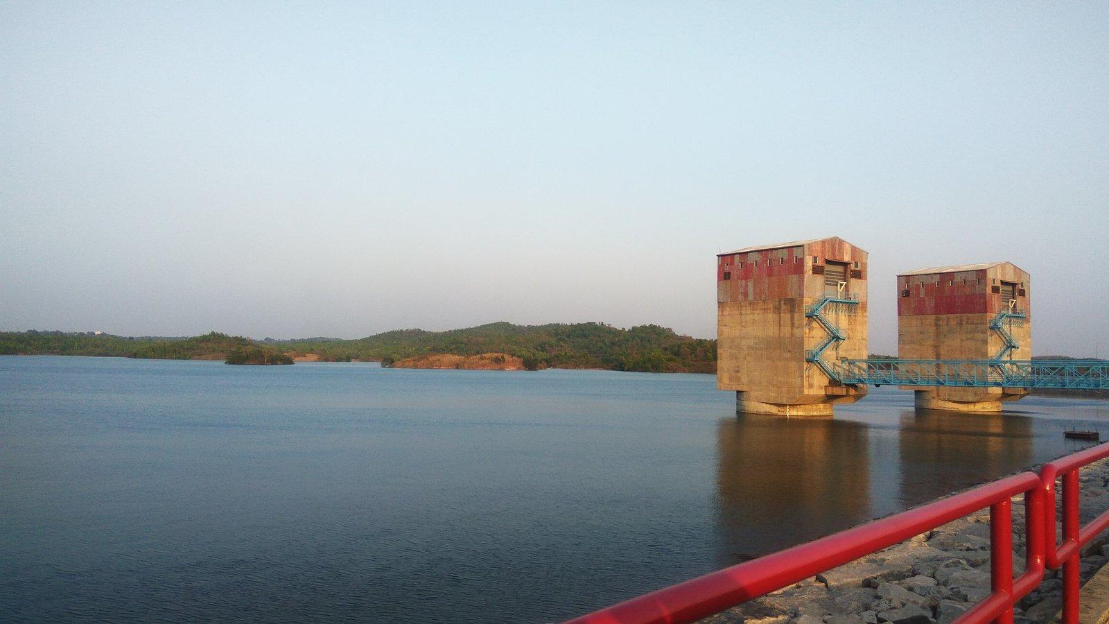
Photo: Tarunsamanta, CC BY-SA 4.0
Dam
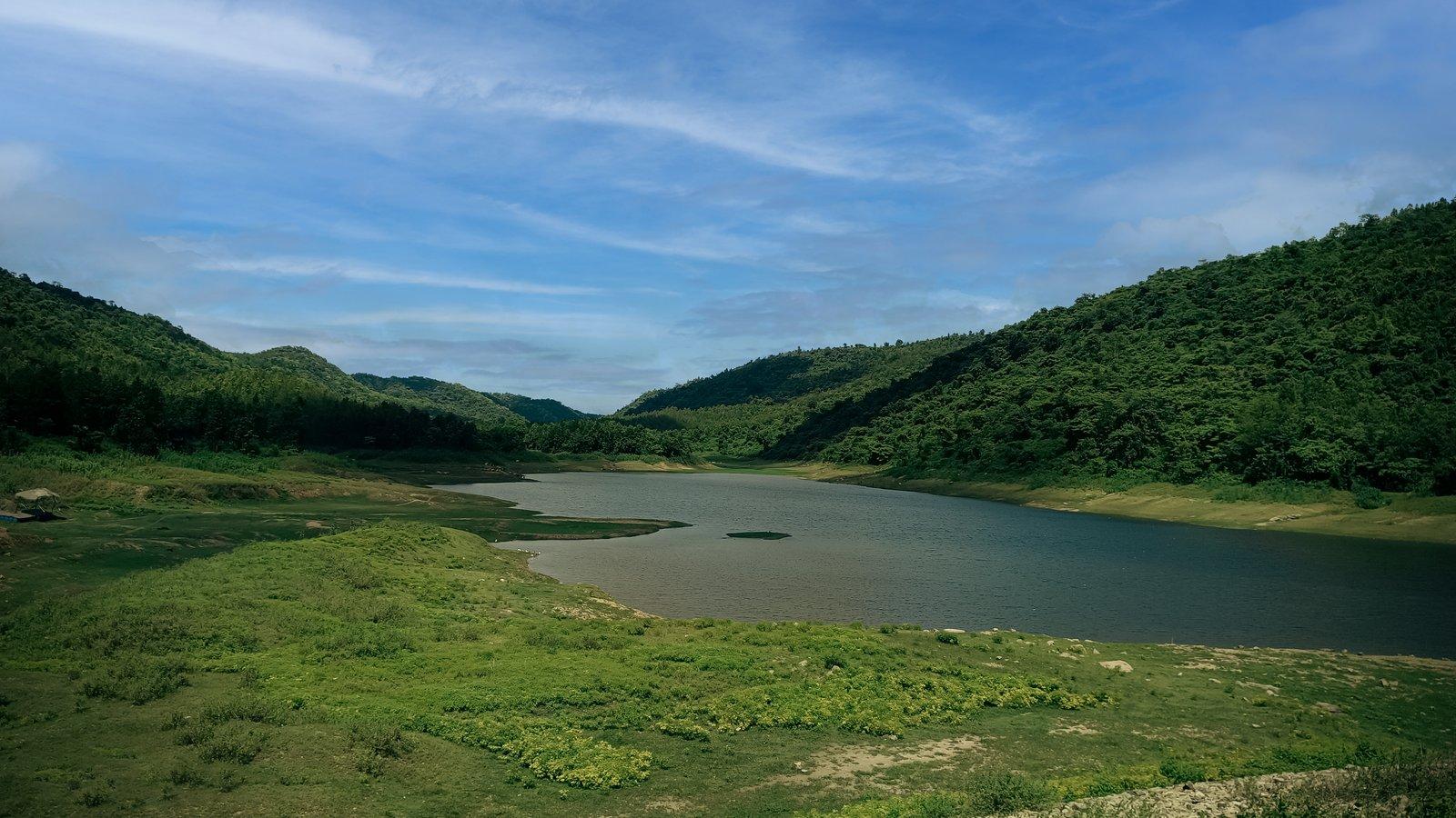
Upper reservoir of the 900 MW Purulia Pumped Storage Project.
Overview
Dam
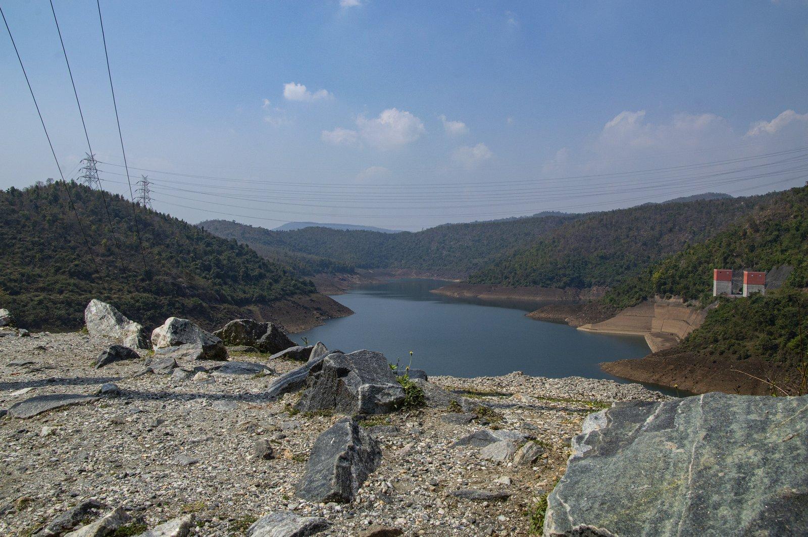
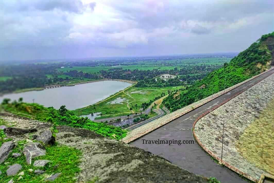
The Upper Dam holds the higher of the two reservoirs of the Purulia Pumped Storage Project, the 900 MW hydroelectric plant built into the Ajodhya Hills between 2002 and 2007. A road runs along the top of its rock-fill embankment, with a wide sheet of water on one side and dense forest on the other, and it has become a popular picnic stop on the hill circuit.
The plant works by moving the same water back and forth between two reservoirs at different heights. When demand for electricity is low, surplus power pumps water up from the Lower Dam into this one; at peak hours it runs back down through four reversible 225 MW turbines in an underground power house. WBSEDCL, which owns and runs the plant, says it can start generating within five minutes and calls it India's first closed-loop pumped storage scheme.
Both dams are rock-fill embankments with a central clay core. This reservoir is designed to rise and fall between about 494 m and 516 m above sea level, so the water line shifts as the plant pumps and generates. It holds about 13 million cubic metres of usable water from a catchment of 9.5 sq km, and a 2023 field study put its surface at roughly one square kilometre, the largest of the lakes it surveyed in the hills.
The water itself comes from the Kistobazar nala, a seasonal stream that the dam impounds; before the project it flowed on through the hills to an older irrigation dam downstream. A hill-top resident who works in tourism told Sangbad Pratidin that the water of the sacred spring at Sita Kund also finds its way into the Upper Dam.
Past & present
History & stories
The scheme was meant to be commissioned in 2002–03, but litigation at the tender stage and the time taken to clear forest land held it up. Main work began in May 2002 and was completed on 17 December 2007, just ahead of the scheduled date. Of about ₹2,476 crore spent by 2016, some ₹2,272 crore came as a loan from the Japan International Cooperation Agency.
The four units were commissioned between October 2007 and February 2008, and the then chief minister, Buddhadeb Bhattacharya, formally inaugurated the project on 6 April 2008. It took about 442 hectares of land, 373 of them forest. Villagers protested at the loss of trees and livelihoods, and the hills lie on the Dalma elephant corridor; local people told Mongabay that elephants now come this way less often because the dams block their path.
The plant's quick response has been tested in public. On 5 April 2020, when lights across India were switched off for nine minutes, it absorbed a drop of about 700 MW by ramping its output down to zero. WBSEDCL has since invited bids for a floating solar plant on the Upper Dam reservoir: 10 MW in 2022 and 6 MW in 2025.
When you're there
See & do
A long road runs along the top of the dam, with the reservoir spread out on one side and dense forest on the other.
The Lower Dam, about 300 m above sea level, lies a few kilometres further along the same road. The rated head between the two reservoirs, the drop that drives the turbines, is 177 m.
The dam has turned into a picnic spot, a local resident told Mongabay in 2019, and plastic left behind is eaten by village livestock, which fall ill.
Ajodhya hill top is about 6 km up the road, with Sita Kund, the Ram Mandir and Mayur Pahar close to it.
Gallery
Photos
Photos coming soon
We're putting together our own photographs of Upper Dam. Been there with us? We'd love to see yours.
Getting there
From Rangamati
Upper Dam is 16 km by road from the resort, to the north-east. A local guide, sightseeing cab or driver can be arranged on request.
Before you go
Through the year
Seasons & festivals
March – June
Hot and dry from April, as across the district. In spring the palash trees in the surrounding forest flower red.
July – September
Most of the year's rain falls between June and September, when the red earth and the forest around the reservoir turn green.
October – February
October to March is the main visiting season, cool and dry.
Good to know
Questions
About 16 km by road, north to Baghmundi and then up into the Ajodhya Hills. The resort can arrange a sightseeing cab, driver or guide on request.
We could not find any published entry fee or visiting hours. The dam is part of a working power project run by WBSEDCL, so access can depend on the operator's rules on the day.
The plant pumps water up into this reservoir with surplus off-peak power and lets it run down through the turbines at peak hours, so the level is designed to move between about 494 m and 516 m above sea level.
They are the two halves of one scheme. The Upper Dam, at about 495 m above sea level, stores the water; it runs through the underground power house to the Lower Dam, at about 300 m, and is later pumped back up.
Yes. It lies on the road between the Lower Dam and Ajodhya hill top, about 6 km from the top, so Sita Kund, Mayur Pahar and Marble Lake fit easily into the same day.
Largely, yes. A 2023 accessibility study rated it among the easiest sites in the hills to reach, since cars can drive along the top of the dam.
Make a day of it
Close by
Other places close to this one, so you can see a few in a single trip.
On our suggested itineraries
From our travel journal
 Nature & outdoors
 Nature & outdoors
Sources: wbsedcl.in · en.wikipedia.org · en.wikipedia.org · bangla.aajtak.in · outlookindia.com · openstreetmap.org · mdpi.com · india.mongabay.com · india.mongabay.com · solarquarter.com · mercomindia.com · anupamnagu.blogspot.com · sangbadpratidin.in · outlooktraveller.com · en.wikivoyage.org · router.project-osrm.org
Rangamati is your base for the Ajodhya hills — tell us your dates and we'll plan the drive.