At a glance
- Seventeen of these 25 places lie within 44 km by road of Matha, near Bagmundi, most of them on or around the Ajodhya Hills.
- The Ajodhya plateau circuit (dams, falls, Marble Lake, Mayur Pahar, Sita Kund) fits into one full day by car.
- Joychandi, Garh Panchkot and Baranti are 95–120 km away in the north-east and are best combined on one day.
- Bamni Falls, Mayur Pahar and Joychandi involve steep steps; the Upper Dam, Charida and Pakhi Pahar need almost no walking.
- Never bathe at the waterfalls or reservoirs: flash floods, deep water and strong currents have caused rescues and drownings.
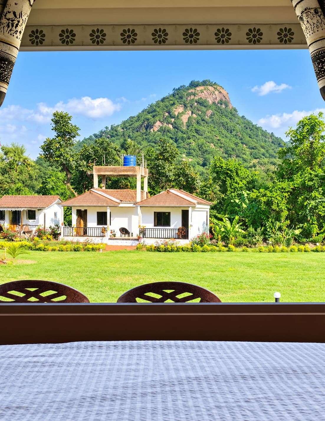
The best places to visit in Purulia cluster around the Ajodhya Hills: Ajodhya Hill Top and Mayur Pahar, the Upper and Lower Dams, Bamni and Turga (Thurga) falls, Marble Lake, Pakhi Pahar and the Chhau mask village of Charida all lie within about 20 km of Bagmundi. Further out are Murguma Dam and the Deulghata temples, then Joychandi (Joy Chandi) Pahar, Garh Panchkot and Baranti in the north-east, plus four day trips into Jharkhand. Every distance below is by road from Rangamati Eco Resort, at the foot of Matha Buru near Bagmundi.
All 25 places to visit in Purulia at a glance
| Place | Type | From the resort | Best for |
|---|---|---|---|
| Matha Buru | Hill | 3 km | Forest drive, climbing courses |
| Pakhi Pahar | Carved rock hill | 6.5 km | Rock art, short guided walk |
| Turga Dam | Reservoir | 9 km | Quiet hour by the water |
| Lahariya Shib Mandir | Temple and reservoir | 10 km | Gajan fair in April |
| Charida | Mask village | 10 km | Chhau masks, crafts |
| Lower Dam | Reservoir | 11 km | Lake and valley views |
| Turga Falls | Waterfall | 11 km | Forest walk, post-monsoon flow |
| Bamni Falls | Waterfall | 13 km | The best-known falls |
| Upper Dam | Reservoir | 16 km | Easy views, picnics |
| Paparkocha (Pardi) Dam | Small lake | 16 km | Quiet lakeside |
| Marble Lake | Quarry lake | 19 km | Blue water, rock walls |
| Ajodhya Hill Top | Plateau settlement | 20 km | Base for the plateau |
| Mayur Pahar | Viewpoint hill | 20 km | Tower view over the range |
| Sita Kund and Ram Mandir | Spring and temple | 20 km | Ramayana legend |
| Khairabera Dam | Reservoir | 22 km | Palash, stars, Chemtaburu |
| Murguma Dam | Reservoir | 37 km | Sunsets, winter birds |
| Deulghata | Temple ruins | 44 km | Early brick temples |
| Duarsini (Bandwan) | Forest village | 76 km | Forest walks |
| Joy Chandi Pahar | Rocky hill | 95 km | Temple climb, history |
| Garh Panchkot | Fort ruins | 110 km | Terracotta temple, forest |
| Baranti | Lake village | 120 km | Sunset over the lake |
| Chandil Dam | Reservoir (Jharkhand) | about 50 km | Boat rides |
| Jonha Falls | Waterfall (Jharkhand) | about 80 km | Hanging-valley falls |
| Hundru Falls | Waterfall (Jharkhand) | about 95 km | A 98 m drop |
| Dassam Falls | Waterfall (Jharkhand) | about 130 km | Multi-stream falls |
Ajodhya Hills: viewpoints, springs and carved rock
1. Ajodhya Hill Top (20 km)
The settlement on the long, flat ridge that crowns the Ajodhya Hills, about 575 m above sea level, is the base camp of the plateau, with lodges and rest houses, a small bazaar, a 12-bed health centre and simple rice-and-curry eateries. Ponds, big trees and a stand of pine near the forest office make it pleasant to stroll. Sita Kund and Mayur Pahar are within about 2 km, and local guides take early risers to Usuldungri, a village viewpoint with a watch tower 29 km from the resort, for sunrise. Roads climb to the top from Bagmundi, Sirkabad and Jhalda.
2. Mayur Pahar (20 km)
"Peacock hill" rises to about 600 m some 2 km from the hill-top settlement. A branch road leads to a parking area, and a flight of roughly 120 steps, without a handrail, climbs to an observation tower with a wide view over the forested range. Two small Hindu shrines stand near the summit. A 2023 study named Mayur Pahar one of the two most popular hill sites in the Ajodhya Hills, and a legend recorded by The Statesman says Shiva once kept watch here in the form of a peacock.
3. Sita Kund and the Ram Mandir (20 km)
According to local legend, Rama shot an arrow into the ground here to bring up water for a thirsty Sita during their exile. At Sita Kund, cold water still wells up through fine white sand into a small stone-ringed pool, with lotus ponds and forest around it, a short walk from the hill top. A few hundred metres away, the Ram Mandir, built by local people about two decades ago, has scenes from the Ramayana painted on its walls. Both are places of worship, so keep the spring clean and follow local custom.
4. Matha Buru (3 km)
The closest hill to the resort, Matha Buru is a rocky summit of about 478 m above the sal and teak of the Matha forest. Mountaineering clubs from Kolkata have run rock-climbing courses on its walls since 1980, usually between November and March. There is no documented public trail to the top, so enjoy it from the forest road and leave the rock faces to organised courses with instructors. Elephants move through these woods, mostly after dark, so be out of the forest by dusk.
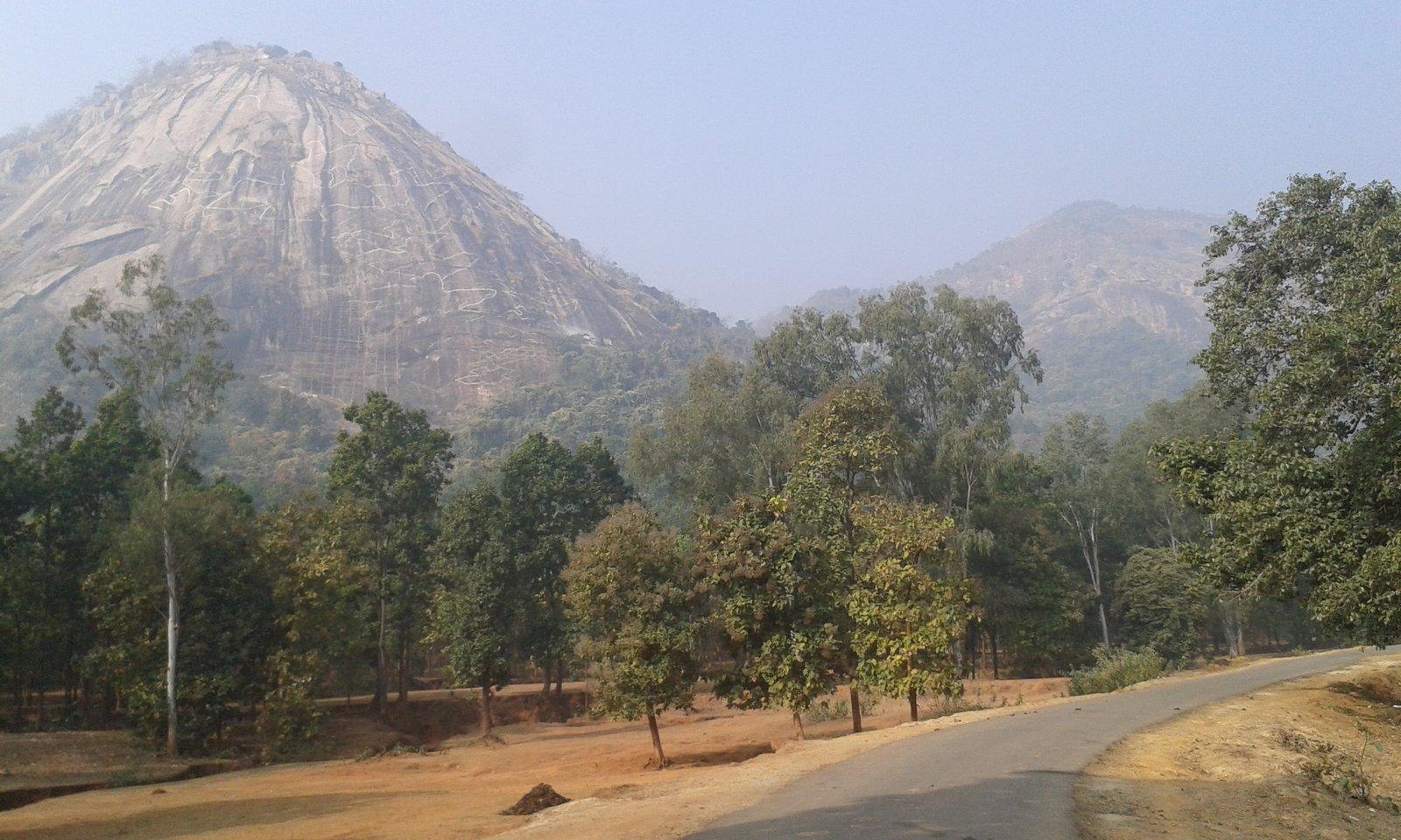
5. Pakhi Pahar (6.5 km)
At Pakhi Pahar, the bare rock hill also called Murraburu, the Kolkata sculptor Chitta Dey and carvers he trained from nearby villages are carving enormous birds into the rock face, a project begun in the mid-1990s; cutting of the rock itself started in 2008. Wingspans run from about 55 ft to 120 ft, and the boulders below carry a peacock, deer, elephant, crocodile and pangolin. The birds are visible from the Balarampur–Bagmundi road. Women from local self-help groups guide walks around the site; in 2023 they charged ₹100 per vehicle.
Dams, lakes and waterfalls around the hills
6. Upper Dam (16 km)
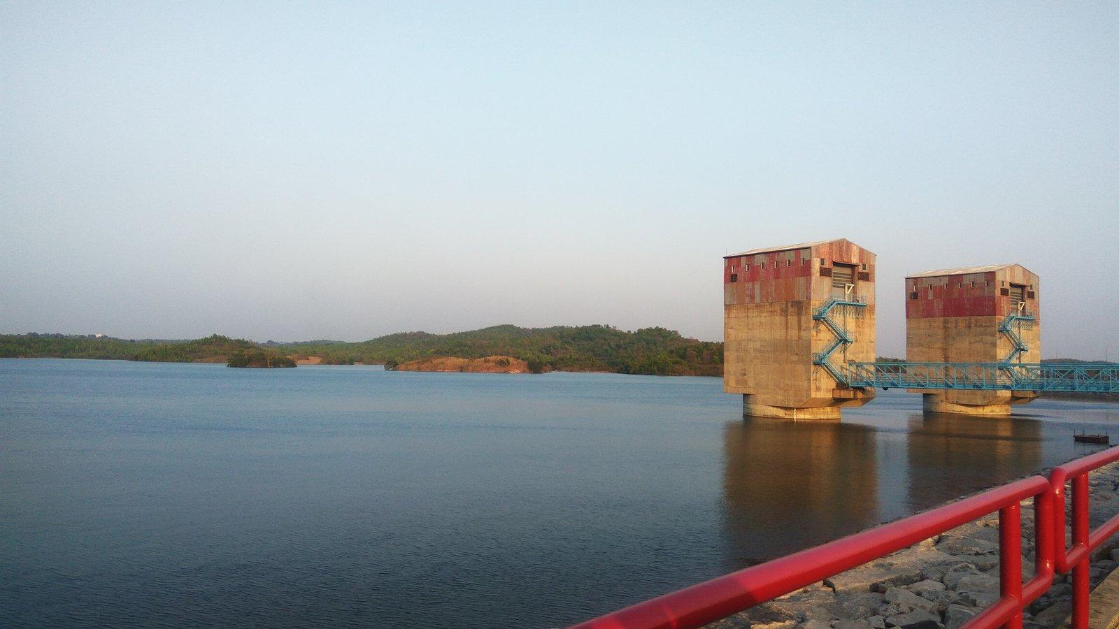
The Upper Dam holds the higher reservoir of the 900 MW Purulia Pumped Storage Project, built between 2002 and 2007. A road runs along the top of its rock-fill embankment, with water on one side and forest on the other, and the lake's level is designed to move between about 494 m and 516 m as the plant pumps and generates. A 2023 accessibility study gave it the top score for ease of access. Keep to the road and follow any instructions from WBSEDCL staff. It is about 6 km from the hill top.
7. Lower Dam (11 km)
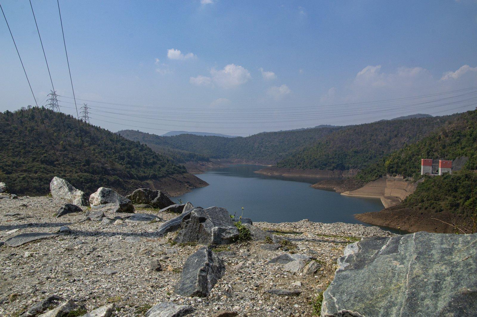
The Lower Dam is a 95 m high, 310 m long rock-fill embankment holding the scheme's lower lake. From the viewpoint you look one way along deep blue water winding between forested slopes, and the other way over the small Lahariya reservoir, its temple and the fields below. Four reversible 225 MW machines sit in a cavern inside the hill. On 5 April 2020, when lights across India were switched off for nine minutes, the plant ramped about 700 MW down to zero to help steady the grid.
8. Marble Lake (19 km)
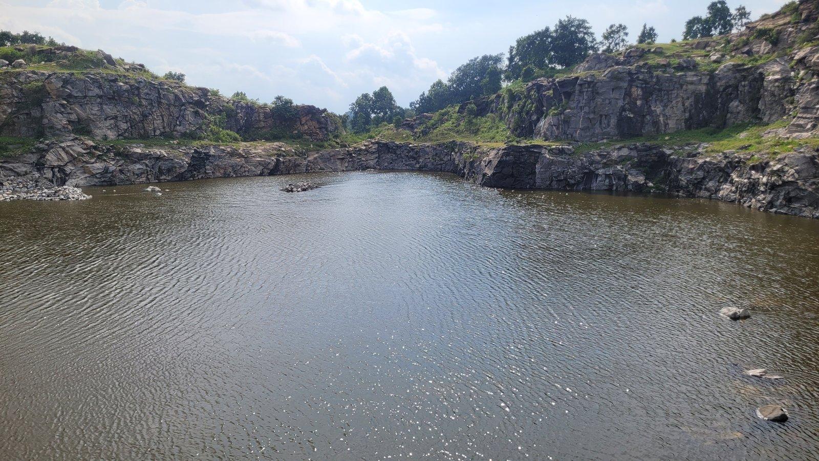
Marble Lake, listed by the district as Durga Bera, fills a pit blasted out for stone during the building of the pumped storage dams. Springs filled it to a depth of about 40 feet, and steep, banded rock walls drop into water that turns a strong blue under a clear sky. Despite the name, the rock is not marble: a 2023 geological study describes banded migmatite cut by dolerite dykes and pegmatite veins. A short walk over broken stone leads from the parking area to the rim. It is no place to swim; keep children back from the edge.
9. Bamni Falls (13 km)
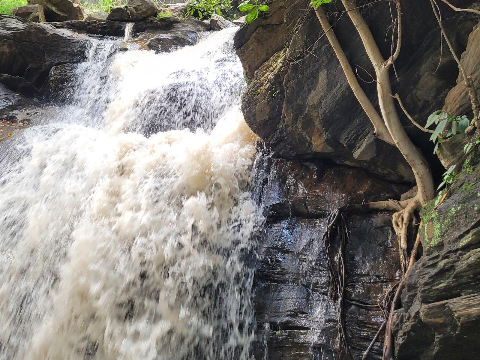
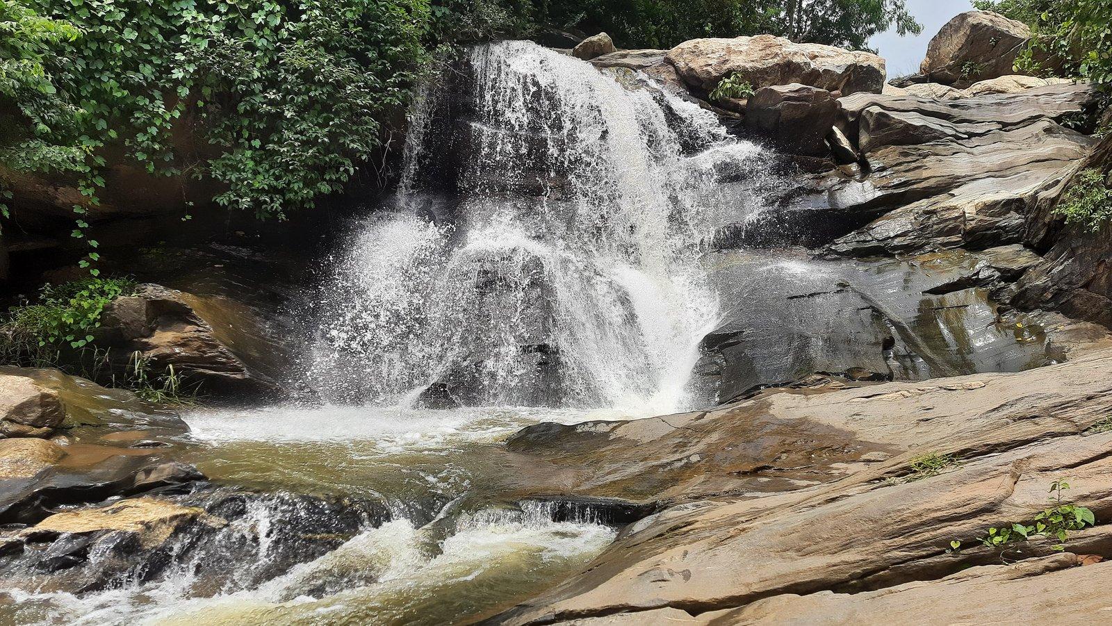
The best-known waterfall of the Ajodhya Hills, Bamni Falls drops in stages over boulders and dark rock in dense forest at about 434 m. Reaching it means a steep descent on narrow, uneven steps; there is no proper path between the upper and lower falls, so the bottom takes a scramble. It is fullest from the monsoon into winter. In July 2019 police rescued two students caught by a flash flood while bathing here, so stay out of the water. If the steps are too much, glimpses from near the car park still give a sense of it.
10. Turga Falls (11 km)
Also spelt Thurga, Turga Falls is a cascade on the Turga stream just above the Turga Dam reservoir; the district administration singles out the clarity of its water. There is no road to the water itself. From where vehicles stop, about 4 km along the Ajodhya Hill road from Bagmundi, a rocky, lightly wooded trail leads to the falls. They flow from the monsoon through winter and thin out as summer builds. Side paths quickly lead into wild country, so keep to the main track.
11. Turga Dam (9 km)
The Turga Dam holds a reservoir at about 284 m among low forested hills, a place to sit by the water for an unhurried hour. It is planned as the lower reservoir of the 1,000 MW Turga Pumped Storage Project, which Santal villages in the surrounding hills have opposed for close to a decade, citing the loss of forest and sacred sites. In August 2026 a contractor was declared lowest bidder for its access road and tunnel, so respect any fencing or closures once work begins.
12. Khairabera Dam (22 km)
Khairabera is an irrigation reservoir completed in 1989 at the edge of Koreng village, under Chemtaburu and Barra hills. Its water covers about 38 hectares, ringed by low forested hills; the palash trees around it flower red around Holi. Chemtaburu, often given as the highest point of the Ajodhya range at about 700 m, is a steep, flat-topped ridge popular with trekkers, and Machkanda Falls is reached via Khairabera, though access is difficult. Go with a guide for either.
13. Paparkocha (Pardi) Dam (16 km)
Usually written Paprakocha and also known as Pardi Lake, this small irrigation lake of about 7 hectares lies near Pardi village in Bagmundi block. Gorgaburu, at 677 m one of the range's highest hills, rises in the country around it. A 2023 study rated the lake high for scenery and easy to reach, and birds and animals come down to drink at its edge. It is poorly signposted and barely mapped, so go with a local driver who knows the way.
14. Murguma Dam (37 km)
Below the north-western end of the range, Murguma Dam holds an island-dotted lake behind an earthen embankment over 2 km long, completed in 1982. People come to walk the embankment, watch the sun go down over the water, see the painted mud walls of Santal villages and, in winter, look for waterbirds; the forest department includes the lake in its annual waterbird survey. Sources disagree on whether boating is offered. A gorge viewpoint about 1.5–2 km from the dam is exposed to strong winds, so keep well back from the edge.
Temples, masks and heritage
15. Charida Mukhosh Gram (10 km)
About 5 km beyond Bagmundi, Charida makes the masks of Purulia Chhau, the dance UNESCO inscribed as intangible heritage in 2010. More than a hundred families work in open-fronted workshops along about 3 km of the main road, moulding clay, layering paper and cloth, then painting and beading. There is a community museum and statues of the Padma Shri dancer Gambhir Singh Mura and Buddeshwar, remembered as the first mask maker. In 2019 prices ran from about ₹20 to ₹5,000. Buy directly from the makers.
16. Lahariya Shib Mandir and Lahariya Dam (10 km)
Lahariya Shib Mandir, also called Lahariya Baba Dham, is a working village Shiva temple at the foot of the Lower Dam, beside the small Lahariya Dam reservoir (9.6 km). It is quiet most of the year, then fills with thousands for its Gajan and Charak fair before Chaitra Sankranti in mid-April, with an all-night Chhau performance. The fair is known for a shared tradition: devotees collect the thread for their sacred threads from a Muslim family in nearby Bareria. It makes a natural first stop on the road up to the Lower Dam.
17. Deulghata (44 km)
On the Kangsabati near Boram, Deulghata has two tall brick rekha deuls covered in finely moulded brick and stucco: miniature towers, scrollwork and geese. Estimates of their age range from the 9th–10th to the 11th–12th centuries. Stone images lie around them, among them an eight-armed Durga. Colonel Dalton described three brick temples here in 1864–65, but the third collapsed in 2002, so admire the towers from the ground. There are no eateries or toilets. The site is busiest at Tusu in mid-January and at Dol in spring.
North Purulia and the Dalma fringe
18. Joy Chandi Pahar (95 km)
Joy Chandi Pahar is a cluster of bare rocky hills beside Raghunathpur, with its own station on the Adra–Asansol line. Several hundred steps (counts run from about 400 to over 500) climb past a ruined two-storey semaphore tower, built for a British optical telegraph between 1816 and 1830, to temples of Chandi and Hanuman. Satyajit Ray shot much of Hirak Rajar Deshe (1980) among these hills, and climbing clubs train on the rock in winter. A tourism festival runs in the foothills from 28 December into the first days of January.
19. Garh Panchkot (110 km)
Garh Panchkot was for centuries the capital of the Panchkot rajas, until the Bargis, Maratha cavalry from Nagpur, sacked it in the 18th century and the family moved to Kashipur around 1750. Gateways, palace walls and temples lie scattered through scrub and sal forest at the foot of Panchet Hill. The five-spired Pancharatna temple, with terracotta panels of dancers and musicians, was declared a state heritage site in 2010. An astronomical observatory opened on the hill in January 2025. Outlook Traveller advises leaving the hill by late afternoon.
20. Baranti (120 km)
Baranti is a small tribal village on the reservoir of the Ramchandrapur irrigation project, whose dam near Muradi was completed in 1991. Wooded hills ring the water, and people come for the sunset, when the lake and paddy fields turn yellow and red, for migratory birds in winter and for the palash in March. As of April 2026 there was no boating, ATM or pharmacy, and meals were only available at the resorts. Muradi station on the Adra–Asansol line is about 6 km away.
21. Duarsini, Bandwan (76 km)
Listed by us as Bandwan Duarsini, Duarsini is a small tribal village about 13 km from Bandwan, among sal, teak, piyal and palash on the rolling hills of the Dalma fringe. West Bengal Tourism recommends it for peace and birdsong, and the Forest Department runs an eco-tourism centre with cottages built like traditional tribal homes. We could not confirm a temple here; the forest is the reason to go. Elephant herds sometimes pass through, so keep to roads and village paths and follow local advice.
Across the border: Jharkhand day trips
22. Chandil Dam (about 50 km)
Chandil Dam holds back the Subarnarekha below the Dalma Hills, and by gross storage it is Jharkhand's largest dam. Ticketed boat rides run out among forested islands, and a forest trail leads to floating fish cages worked by a cooperative of families displaced by the dam. On a hilltop beside it, the free Patkum Museum shows sculptures and inscriptions found while the dam was built. Parking is paid; no current rates are published.
23. Jonha Falls (about 80 km)
Also called Gautamdhara after a temple of the Buddha on the hill above, Jonha Falls is a 43 m hanging-valley fall, where the Gunga stream drops into the valley of the Raru. A stairway of around 700 steps leads down through tall trees to a sandy, shingle pool rather than a deep plunge pool. Another approach road gives a view without the full descent. Sita Falls is nearby, and Hundru is about 25 km away by road, so the two big falls fit into one day.
24. Hundru Falls (about 95 km)
At Hundru the Subarnarekha drops about 98 m (322 ft) off the edge of the Ranchi plateau, one of the highest falls in Jharkhand. You can watch from the top or descend a very steep stairway of roughly 700 to 750 steps to the base, where rock walls carved by the water frame a pool that doubles as a picnic ground in the dry months. In the monsoon the falls are violent, so take great care near the water.
25. Dassam Falls (about 130 km)
The Kanchi river pours about 44 m over a sheer edge at Dassam, near Taimara village off the Ranchi–Tata highway, splitting into several streams; the name is traced to the Mundari "da:song", the act of pouring water. Two viewing decks lie a few hundred steps below the car park. Swimming is prohibited: the pool is deep, rocky and fast, and many people have drowned here. The route passes Chandil, so the dam makes a good stop on the way.
How to fit these places into one trip
The places near the resort and on the plateau fall into natural groups:
- Near Bagmundi (half a day): Matha Buru, Pakhi Pahar, Charida, Turga Dam.
- The plateau circuit (one full day): Lahariya, Lower Dam, Upper Dam, Ajodhya Hill Top, Sita Kund and the Ram Mandir, Mayur Pahar, Marble Lake, Bamni and Turga falls.
- North of the hills (half to a full day): Murguma and Deulghata, about 17 km apart.
- The north-east (one long day): Joychandi, Garh Panchkot and Baranti, ideally on the way home towards Asansol or Kolkata.
- Jharkhand (one long day each): Jonha with Hundru, or Chandil with Dassam.
Our Purulia 2-day itinerary and 3-day itinerary turn these groups into day-by-day plans, and the Purulia travel guide covers trains, seasons and safety. For a deeper look at one type of place, see waterfalls in Purulia, dams and lakes of Purulia and ancient temples of Purulia.