At a glance
- The Ajodhya (Ayodhya) Hills are the easternmost edge of the Chota Nagpur Plateau, topped by a flat ridge at about 575 m.
- The main circuit — Lahariya, Lower and Upper Dams, hill top, Sita Kund, Mayur Pahar, Marble Lake, Bamni and Turga falls — is a full day by car and about 50 km of driving from Matha.
- Chemtaburu (699 m) tops Wikipedia's table of peaks; Gorgaburu (677 m), often called the highest, is listed as second.
- October to March is the comfortable season; the falls are fullest from September to February.
- Elephants from the Dalma forests move through the hills at night, so finish the circuit and leave the forest roads before dusk.
The Ajodhya Hills (also spelt Ayodhya Hills, and called Ajodhya Pahar locally) are a low, forested range in south-western Purulia, the easternmost edge of the Chota Nagpur Plateau, crowned by a flat ridge at about 575 m. One loop road from Bagmundi takes in the plateau's main sights, the Lower and Upper Dams, Bamni and Turga falls, Marble Lake, Mayur Pahar and Sita Kund, in a full day by car, with roughly 50 km of driving. Go between October and March for comfort, from September to February for the waterfalls, or around Holi for palash.
Where are the Ajodhya Hills, and what are they like?
The range rises from the red, rolling country of south-western Purulia, close to the Jharkhand border. Its rocks belong to the Chhotanagpur Granite Gneiss Complex, formed more than a billion years ago, and Wikipedia lists at least 37 geosites in the hills, from banded quarry walls to spring lines.
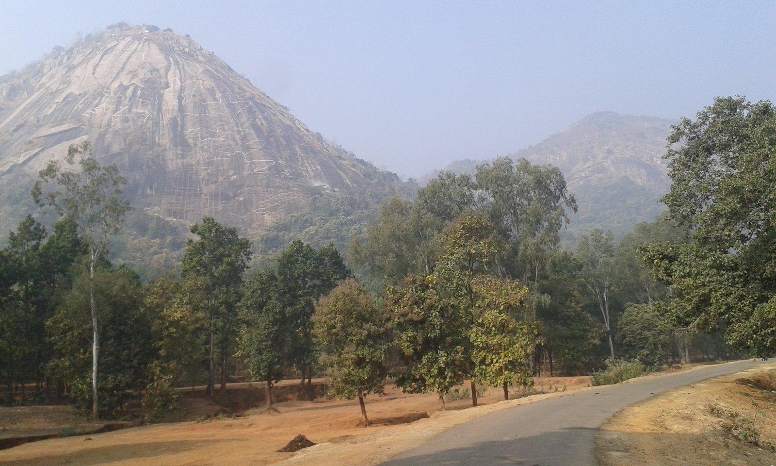
The top is not a sharp summit but a long, flat ridge. Parts are almost level, with small ponds, large trees and a stand of pine near the forest office. Ajodhya Hill Top, the settlement at its centre, had 1,468 residents at the 2011 census and serves as the plateau's base camp, with lodges, a bazaar and a health centre.
The slopes carry dry deciduous forest of sal, palash, kusum, mahua and kend, with bamboo. The villages are largely Adivasi: a tribal-culture researcher told Sangbad Pratidin that the nomadic Birhor were the first people of these hills, followed by the Bhumij and the Santals. There is more than one story behind the name: a Santali word for a sheltering mother, a Bhumij landholder called Ajodhya Singh, and the Ramayana legend attached to Sita Kund.
Three roads climb onto the plateau: from Bagmundi in the west, and from Sirkabad and Jhalda. Most visitors use the Bagmundi road, which passes the falls and dams.
Which is the highest peak of the Ajodhya Hills?
Gorgaburu is often called the highest point, and Wikivoyage names it the tallest peak. Wikipedia's survey-based table of peaks disagrees, putting Chemtaburu first and describing Gorgaburu as the second highest. Even within Wikipedia the figures vary, so treat these heights as approximate:
| Peak | Height (Wikipedia) | Where it is |
|---|---|---|
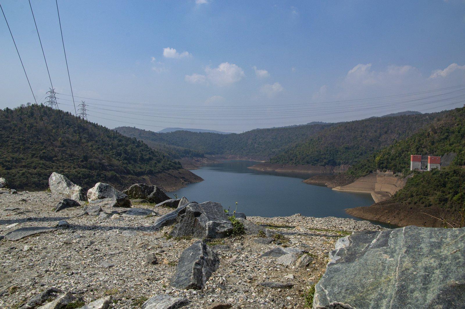
| Chemtaburu (Chamtuburu) | 699 m (720 m in one listing) | Above Khairabera Dam |
| Gorgaburu | 677 m (642 m in one listing) | Near Pardi, east of Matha |
| Chandni Pahar | 620 m | On the range |
| Mayur Pahar | 598–605 m | 2 km from the hill top |
| Murraburu (Pakhi Pahar) | 480 m | Matha forest |
| Mathaburu (Matha Buru) | 478 m | Matha forest |
We have not found a marked visitor path up either Chemtaburu or Gorgaburu like the steps at Mayur Pahar. Chemtaburu is popular with trekkers but steep, so go with a local guide. For an easy view over the range, Mayur Pahar and its observation tower are the practical choice.
What to see on and around the Ajodhya plateau
The sights fall into three groups. Each has its own page on our site; here is how they fit together.
On the climb from Bagmundi
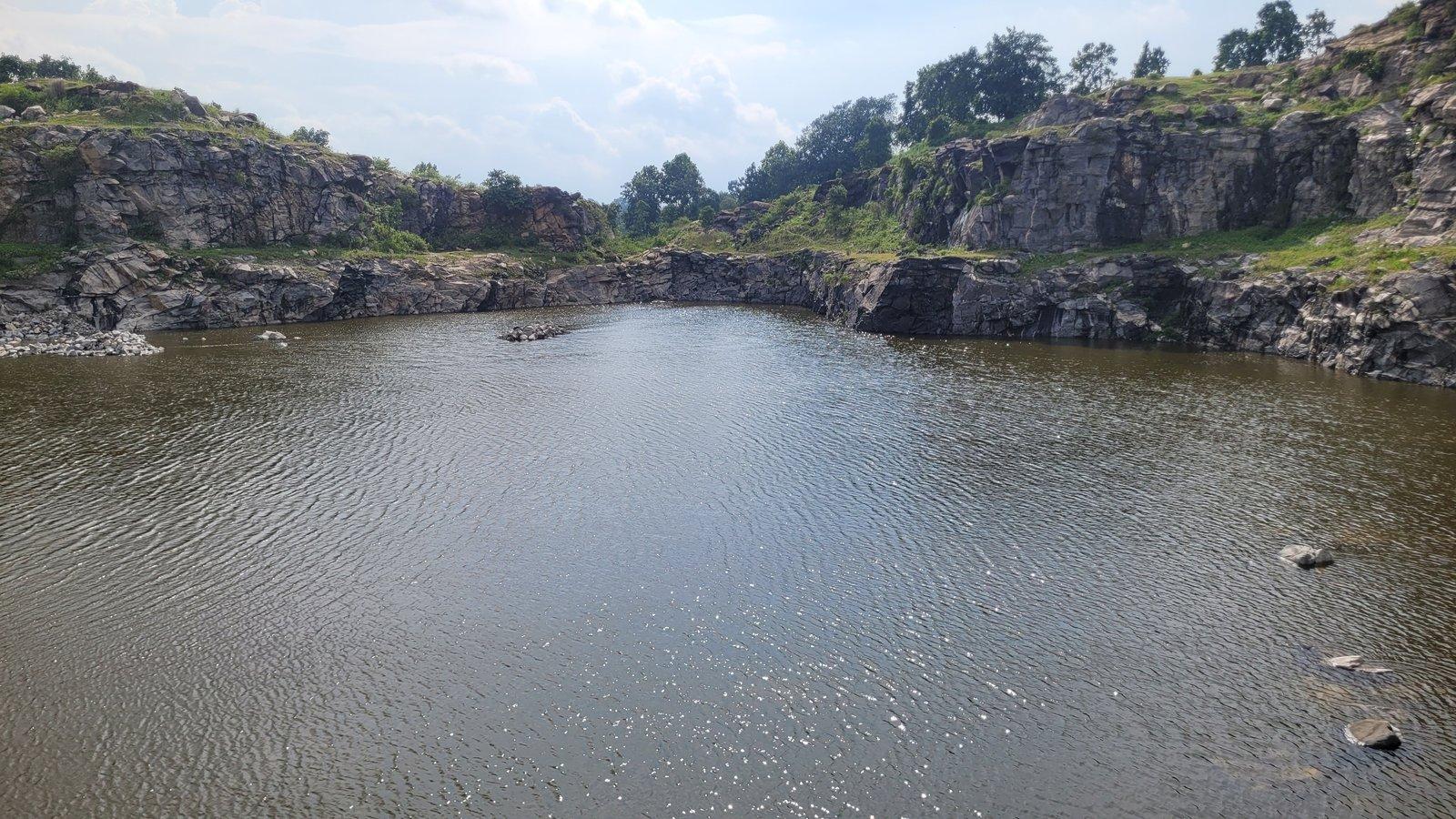
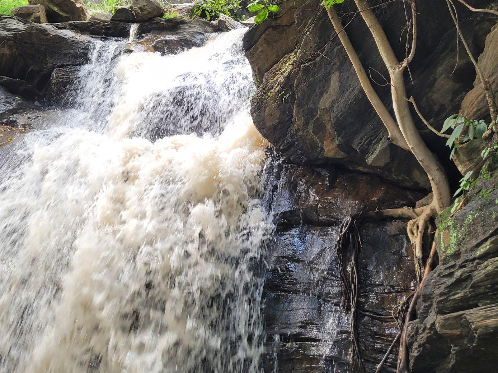
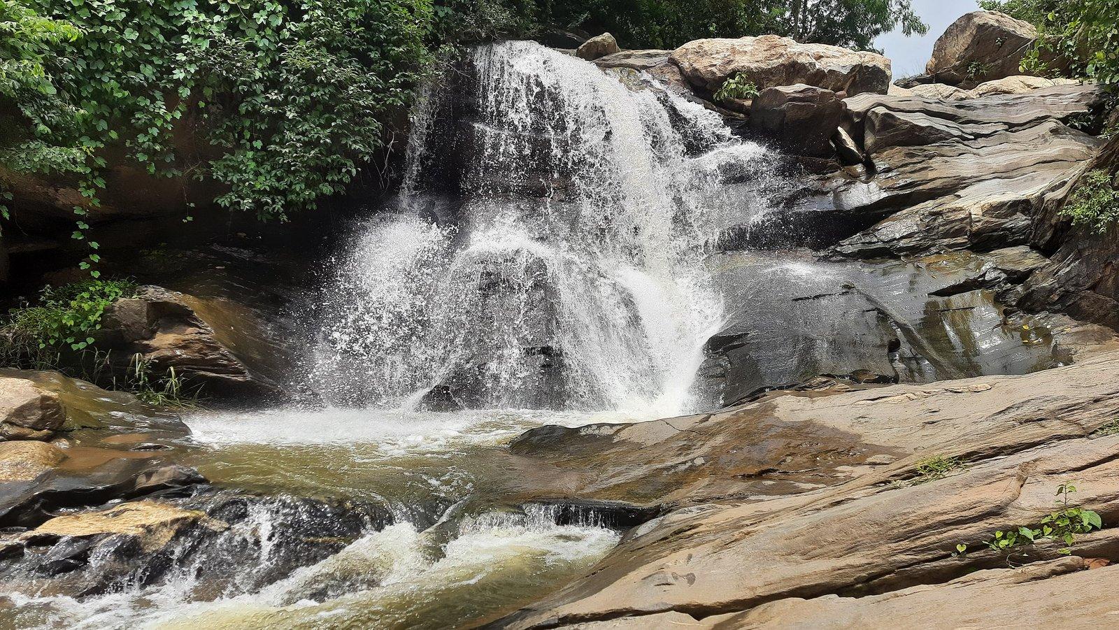
The road east from Bagmundi into the hills passes, in order, the turning for Turga Dam, a branch road to the Lahariya Shib Mandir and the Lower Dam, then Turga Falls (Thurga Falls) about 4 km along, and Bamni Falls about 6 km along. Just above Bamni, a short spur leads to Marble Lake, the flooded quarry. The two falls are reached only on foot, Bamni by a steep descent on narrow steps.
On the top
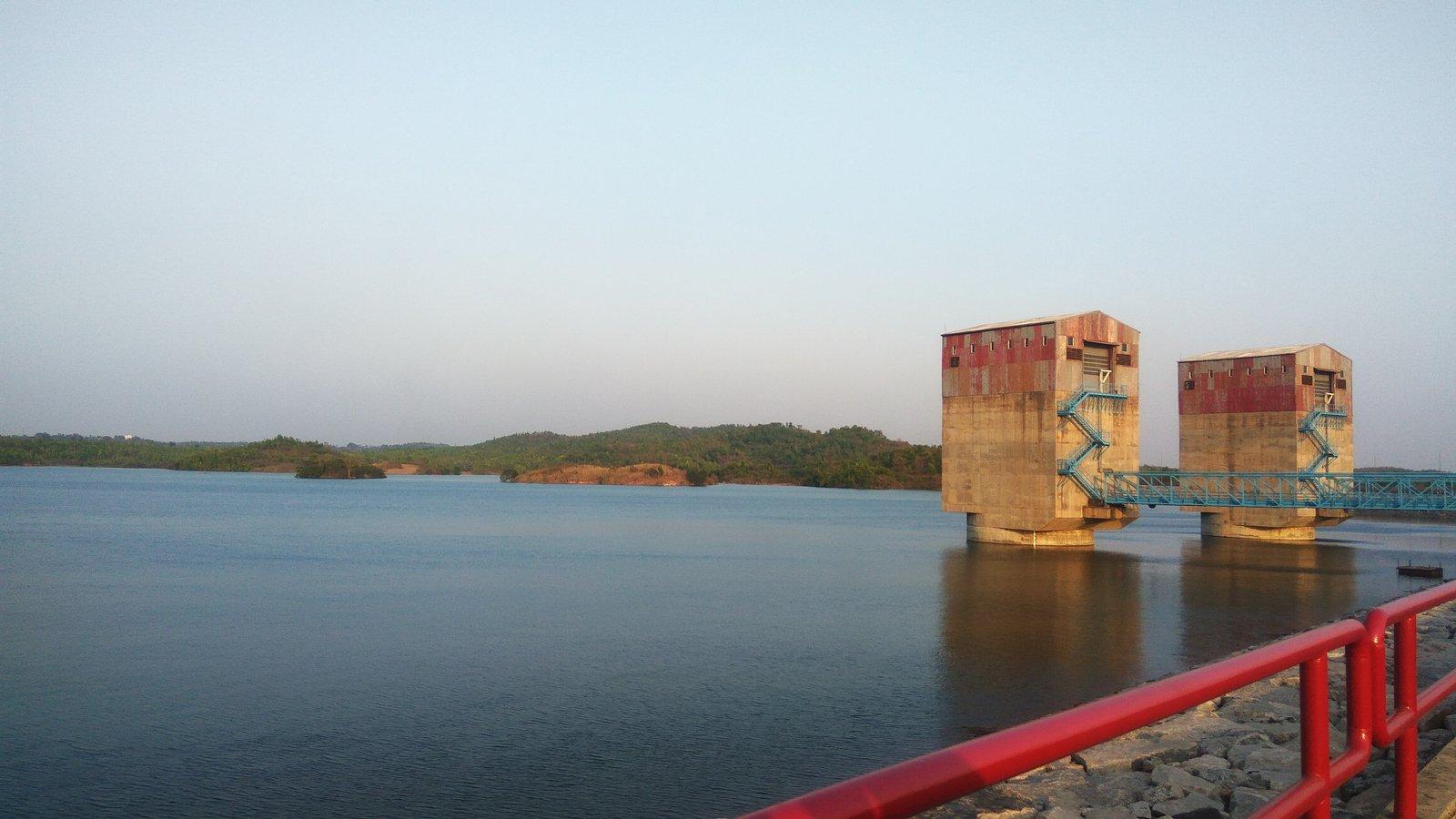
The Upper Dam is about 6 km from the hill-top settlement, with a road along its embankment. On the top itself are Sita Kund, the spring of the Ramayana legend, and the Ram Mandir a few hundred metres away. Mayur Pahar is about 2 km before the settlement on the Bagmundi road. For sunrise, local guides take visitors through the villages to Usuldungri in the south-east of the plateau.
Around the foot of the hills
Along the Balarampur–Bagmundi road are Matha Buru, a rock-climbing hill since 1980, and Pakhi Pahar, with its giant carved birds. North of Bagmundi lie the mask village of Charida and Khairabera Dam under Chemtaburu. Murguma Dam sits at the north-western end of the range, about 20 km from the hill top. Our 25 best places to visit in Purulia describes each one.
How to do the Ajodhya Hills circuit by car
There is no organised public transport on the plateau, so hire a car and driver for the day. The most efficient loop from the foot of the hills runs up the Bagmundi hill road past the falls, across the top, and back down the power project road past the dams. That puts the falls in the cool of the morning, when the climb back is easier, and the dam viewpoints in the softer afternoon light. A suggested day, starting from Matha:
- About 8 am: drive north to Bagmundi and turn east onto the hill road.
- Turga Falls: walk the rocky trail to the water and back.
- Bamni Falls: the longest stop of the day if you go down to the lower falls; the climb back is the hard part.
- Marble Lake: a short walk over broken stone to the rim.
- Mayur Pahar: climb the steps to the tower before the midday heat.
- Ajodhya Hill Top: lunch at one of the simple eateries, then walk to Sita Kund and the Ram Mandir.
- Upper Dam: drive along the embankment.
- Lower Dam and Lahariya: views down the lake and over the Lahariya reservoir, then the temple at the foot.
- Before dusk: back down to the plains and off the forest roads.
The whole loop is about 50 km of driving from Matha, but the roads wind and the walks add up, so treat it as a full day. Short of time or energy? Skip the descent at Bamni and view it from near the car park, and drop Turga Falls; the dams, Marble Lake, Mayur Pahar and Sita Kund need very little walking. Our Purulia 2-day itinerary builds this circuit into a weekend.
When is the best time to visit the Ajodhya Hills?
- October to March: the main season, cool and dry, with the coolest days from December to February. Winter mornings on the plateau can be cold.
- Spring: palash turns the forest red, usually around Holi in March and sometimes into April. Our palash season guide has the details.
- April to June: hot and dry; the falls thin out and can stop altogether. In the April 2024 heatwave the Upper Dam was left almost without visitors. If you come now, start at dawn.
- July to September: the monsoon turns the red earth green and fills the falls, but rock turns slippery, streams can rise suddenly and leeches are common.
For the waterfalls, September to February is the sweet spot: full flow after the rains, with cooler weather for the walks. Expect crowds and forest checkpoints around Baisakhi Purnima (April–May), when tribal hunters from several states gather in the hills for the Disum Sendra; hunting is banned, and the forest department runs check posts and cultural programmes instead.
Staying safe: elephants, waterfalls and forest roads
The Ajodhya Hills are an easy place to travel, but they are real forest:
- Elephants. Herds from the Dalma forests move through the hills, mostly at night, and the range lies on the Dalma elephant corridor. Leave forest roads and trails before dusk, never approach a herd, and follow your driver's advice if one is reported nearby.
- Waterfalls. Do not bathe at Bamni or Turga. In July 2019 police rescued two college students caught by a flash flood while bathing at Bamni Falls. Edges are unguarded, so keep children close.
- Reservoirs. The Upper and Lower Dams are a working power station whose water levels rise and fall; Marble Lake is about 40 feet deep with steep sides. Keep to the roads and rims.
- Walks and treks. Wear shoes with a firm grip, carry water, take a local guide for anything off the main paths and keep a good margin of daylight. If you want to camp, inform the police and Forest Department at Ajodhya or Bagmundi first.
- Medical help. There is a 12-bed primary health centre on the hill top, and the 30-bed Pathardihi Rural Hospital near Bagmundi.
Please also leave the hills as you found them. Villagers near the dams say plastic left by picnickers has killed their cattle, and several sites, from Sita Kund to the hills the Santals revere, are sacred to the people who live here. See our guide to the wildlife and forests of the Ajodhya Hills for more.
Where to stay: on the plateau or at the foot of the hills?
On the hill top you will find lodges, government rest houses and private resorts. Staying up here puts Sita Kund and Mayur Pahar within walking or short driving distance and makes an Usuldungri sunrise easier.
At the foot of the hills, around Bagmundi and Matha, you are closer to Charida, Pakhi Pahar, Matha Buru, Khairabera and Barabhum station, and the hill top is about 20 km up the road. Evenings are quiet, and you avoid driving the forest roads after dark.
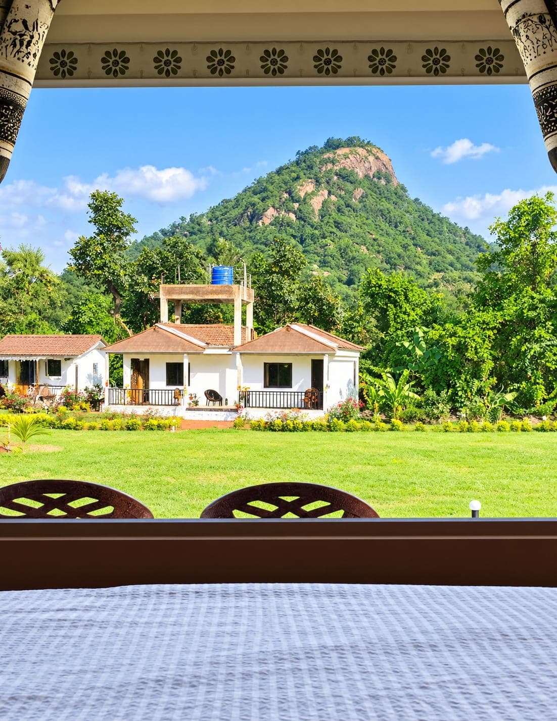
Rangamati Eco Resort is at the foot of Matha Buru, 3 km from the hill and 20 km from Ajodhya Hill Top, with guided sightseeing and cabs for the circuit on request. See our rooms, or compare areas in where to stay in Purulia. For trains, seasons and the rest of the district, start with the Purulia travel guide.