At a glance
- Purulia is West Bengal's westernmost district, roughly 300–335 km by road from Kolkata depending on the route.
- October to March is the main season; palash flowers in spring, and the monsoon (July–September) fills the waterfalls.
- Most first trips centre on the Ajodhya Hills near Bagmundi: dams, waterfalls, Marble Lake, Mayur Pahar and the Charida mask village.
- Plan two to three days for the Ajodhya area and an extra day for Joychandi, Garh Panchkot and Baranti, 95–120 km away in the north-east.
- Purulia Junction and Barabhum are the useful railheads; daily trains from Howrah and Santragachi take about 5½ to 7 hours.
- Elephants move through the hills at night and the falls can flood suddenly, so travel by daylight and stay out of the water.
Purulia is West Bengal's westernmost district, roughly 300–335 km by road from Kolkata, and Purulia tourism centres on the forested Ajodhya Hills: the reservoirs of a pumped storage power project, seasonal waterfalls, a flooded quarry called Marble Lake, the Chhau mask village of Charida and, in spring, hillsides red with palash. The best time to go is October to March. Plan two or three days around the Ajodhya Hills, and add a day if you want Garh Panchkot, Joychandi and Baranti in the north-east.
Purulia tourism at a glance: where it is and why go
Purulia district covers 6,259 sq km. Jharkhand wraps round it to the north, west and south, with Bankura and Paschim Medinipur to the east. It was carved out of the old Manbhum district and joined West Bengal on 1 November 1956, after the Bengali language movement, and you will still hear the region's songs and customs described as "Manbhum" (more in our history of Manbhum and Purulia).
The land is the eastern edge of the Chota Nagpur Plateau: rolling red laterite country, rocky hillocks and dry deciduous forest of sal, palash, mahua and kusum. The Ajodhya range is the district's high ground, with summits close to 700 m, and its rocks belong to a granite-gneiss complex more than a billion years old.
What draws people here:
- Hills you can actually walk on. Low, rocky summits, a flat-topped plateau and viewpoints reached by short drives and a few hundred steps.
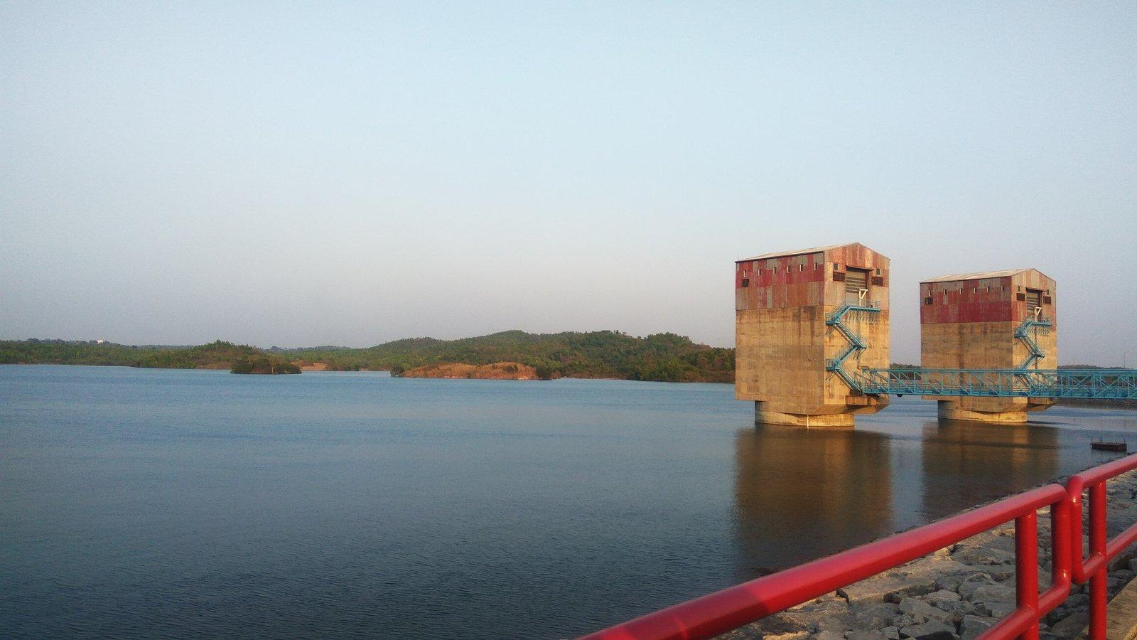
- Water in a dry land. Irrigation reservoirs and the two big lakes of the Purulia Pumped Storage Project, plus waterfalls that roar in the monsoon.
- Living culture. Chhau masked dance, Jhumur songs, Santal villages with painted mud walls and a calendar of harvest festivals.
- Seasons that change the landscape. Palash in spring, deep green in the rains, cool clear days in winter.
Purulia's travel regions, from the Ajodhya Hills to Garh Panchkot
Purulia is bigger than it looks on a map, and its sights fall into clusters. Knowing which cluster you are visiting is the key to a realistic plan.
Ajodhya Hills and Bagmundi (south-west)
This is where most visitors spend most of their time. The Ajodhya Hill Top settlement sits on a long, flat ridge at about 575 m, with Sita Kund and Mayur Pahar close by. On the slopes are the Upper Dam and Lower Dam, Bamni Falls, Turga Falls and Marble Lake.
At the foot of the hills around Bagmundi (also spelt Baghmundi) you find Matha Buru, a rock-climbing hill since 1980; Pakhi Pahar, where giant birds are being carved into a bare rock face; the mask makers of Charida; and the Khairabera Dam reservoir under Chemtaburu. Our Ajodhya Hills travel guide covers the plateau in detail.
North of the hills: Murguma and Deulghata
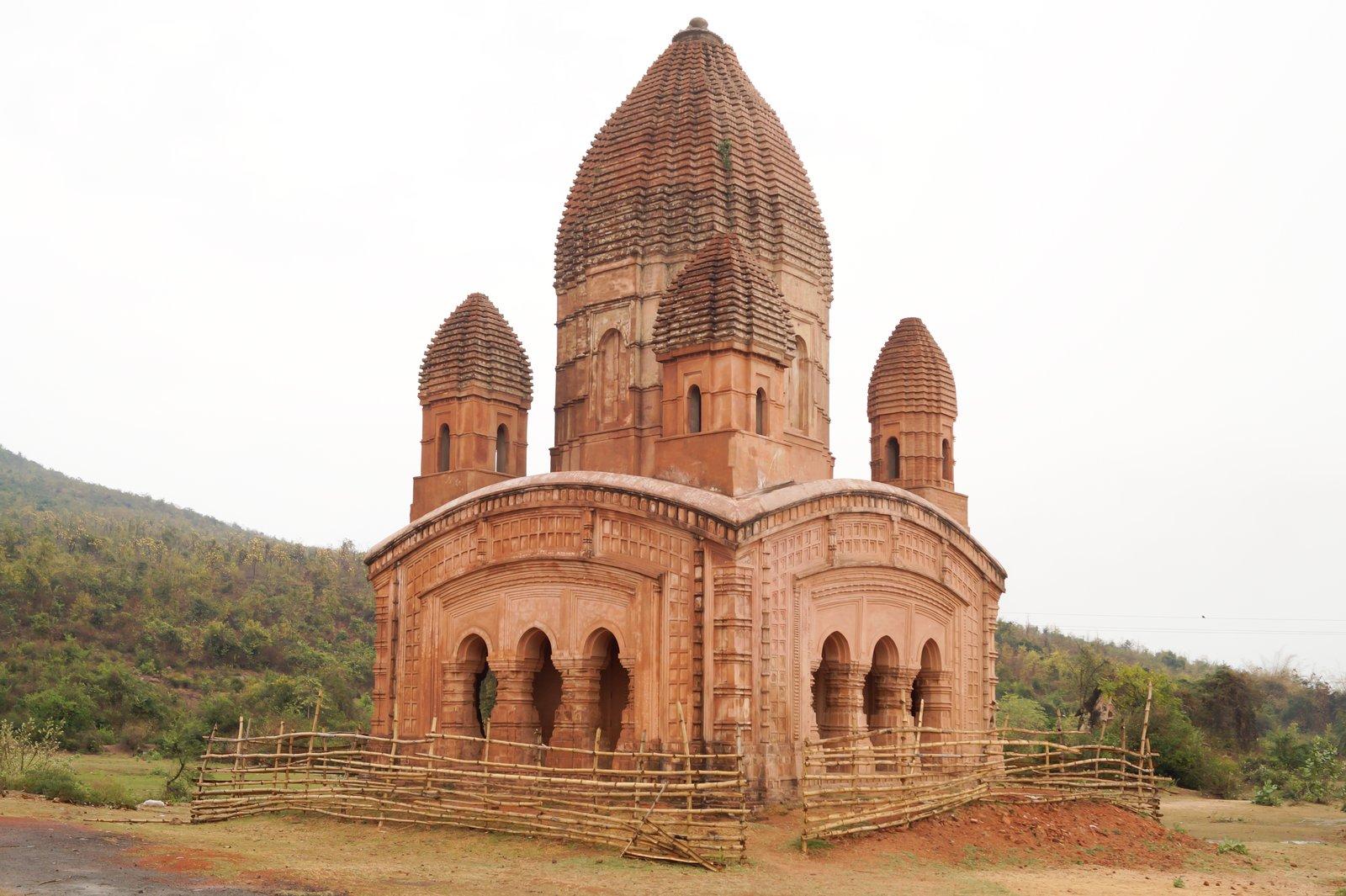
Where the range ends in the north-west, the island-dotted Murguma Dam reservoir draws walkers, sunset-watchers and winter waterbirds. Further north-east, on the Kangsabati river near Boram, the brick temple towers of Deulghata date from somewhere between the 9th and 12th centuries, depending on which historian you follow. From Bagmundi these are 37 km and 44 km away by road.
North-east: Joychandi, Garh Panchkot and Baranti
Close to Raghunathpur and the Asansol side of the district, three places are usually seen together: Joy Chandi Pahar (also written Joychandi), a rocky hill with temples, a ruined 19th-century semaphore tower and a Satyajit Ray film connection; Garh Panchkot, the ruined capital of the Panchkot rajas under forested Panchet Hill; and Baranti, a hill-ringed lake known for its sunsets. They are 95–120 km from the Ajodhya side, so treat them as a separate day, ideally on the way home. See our Garh Panchkot and Baranti day trip.
Across the border in Jharkhand
The Subarnarekha reservoir at Chandil Dam is the nearest Jharkhand sight. Ranchi's big plateau waterfalls, Hundru, Jonha and Dassam, make a long but doable day out; our Ranchi waterfalls day trip has the details.
When is the best time to visit Purulia?
October to March is the main season. Purulia has a tropical savanna climate: summer temperatures average around 40 °C and the district has recorded 46.3 °C in May, while winter averages about 10 °C, with a record low of 3.8 °C. Most of the 1,100–1,500 mm of annual rain falls between June and September, and July is the wettest month.
| Season | Months | What it is like | Best for |
|---|---|---|---|
| Winter | October–February | Cool, dry days; chilly nights | Sightseeing, walks, mask workshops, waterbirds at Murguma and Baranti |
| Spring | March–April | Warming fast; palash in flower | Palash, Holi, the Gajan fair at Lahariya in mid-April |
| Summer | May–June | Very hot and dry | Early mornings only; many falls dry up |
| Monsoon | July–September | Heavy rain, green hills | Waterfalls at full flow (with care), Karam festival |
Palash is the season people ask about most. It usually peaks around Holi in March, with some years running into April. Our palash season guide and best time to visit Purulia go month by month. The Durga Puja holidays in October and the Christmas–New Year weeks are especially busy, so book early for those.
How to reach Purulia from Kolkata and nearby cities
By train
Purulia Junction is the district's main railhead. On the Bagmundi side, Barabhum station near Balarampur is much closer: about 18 km by road from Rangamati, at the foot of Matha Buru, against about 50 km from Purulia Junction. When we checked erail.in in November 2026, these trains ran from the Kolkata side:
- 12883/12884 Rupashi Bangla Express, Santragachi–Purulia, daily, about 5½ hours.
- 12827/12828 Howrah–Purulia Superfast Express, daily, about 6 hours.
- 18011/18012 Howrah–Chakradharpur Express, daily, calling at both Purulia and Barabhum.
- 22891/22892 Howrah–Ranchi Intercity Express, calling at Purulia and Barabhum; check its running days.
Timetables change, so confirm on NTES or IRCTC before booking. Our guide to Kolkata to Purulia by train compares the options.
By road
Kolkata is roughly 300–335 km away by road, depending on route and destination; Wikivoyage gives 332 km to the Ajodhya Hills. A common route runs via Durgapur and Bankura to Purulia town, then on through Balarampur to Bagmundi. Allow most of a day and leave early, as the last stretch is on smaller roads. See Kolkata to Ajodhya Hills by road.
From Jharkhand the hills are closer: very roughly 80 km from Jamshedpur and about 110 km from Ranchi or Dhanbad by road. Our Ranchi, Jamshedpur and Dhanbad guide covers those routes. State buses also link Purulia town with Kolkata.
By air
There is no airport in the district. Ranchi's airport is roughly 145 km from Bagmundi by road, and Kolkata's about 320 km. Most visitors from outside the region fly to Kolkata and take a train.
Getting around
There is no organised local transport around the hills, so hire a car and driver for the day. Distances between sights are short, but roads wind and some last stretches are on foot. These are approximate road distances from our cottages at the foot of Matha Buru, on the Balarampur–Bagmundi road:
| Place | Road distance | Type |
|---|---|---|
| Matha Buru | 3 km | Hill |
| Pakhi Pahar | 6.5 km | Carved rock hill |
| Charida | 10 km | Mask village |
| Lower Dam | 11 km | Reservoir |
| Bamni Falls | 13 km | Waterfall |
| Upper Dam | 16 km | Reservoir |
| Marble Lake | 19 km | Quarry lake |
| Ajodhya Hill Top | 20 km | Plateau settlement |
| Murguma Dam | 37 km | Reservoir |
| Deulghata | 44 km | Temple ruins |
| Garh Panchkot | 110 km | Fort ruins |
How many days do you need in Purulia?
- Two days: the hills near Bagmundi on day one, and the full Ajodhya plateau circuit of dams, falls and viewpoints on day two. See our Purulia 2-day itinerary.
- Three days: split the plateau and the waterfalls over two days and add Charida, then see Joychandi, Garh Panchkot and Baranti on the way back. See the 3-day itinerary.
- Four or five days: add a Jharkhand waterfall day, Murguma and Deulghata, or simply slow down.
Coming for a short break from the city? Our weekend trip from Kolkata plan is built around the train timetable.
What to see in Purulia: a short list
Our full list of the best places to visit in Purulia has 25 places with distances. If you only have time for the highlights:
- Ajodhya Hill Top, Sita Kund and Mayur Pahar for the plateau, a sacred spring and the observation tower view.
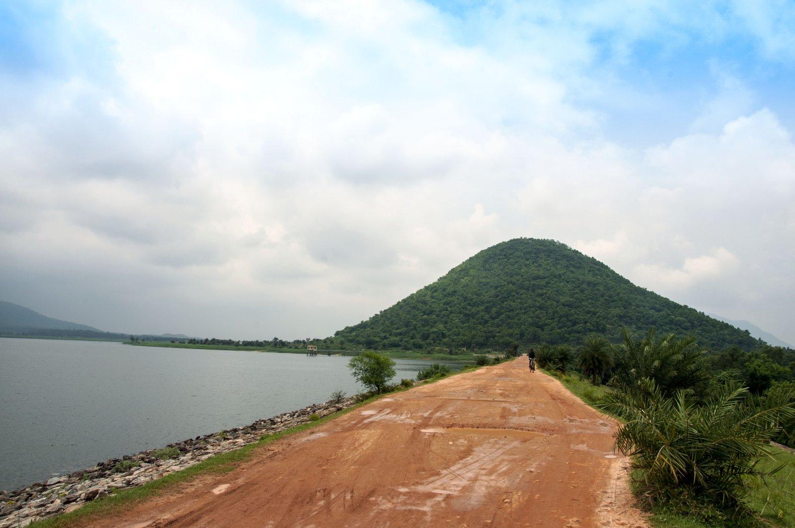
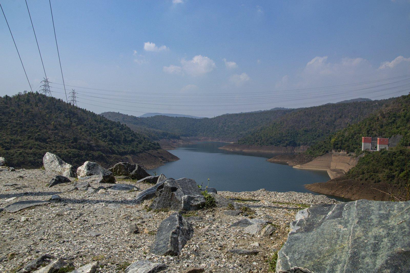
- Upper and Lower Dams to see the two lakes of the 900 MW pumped storage scheme, built between 2002 and 2007.
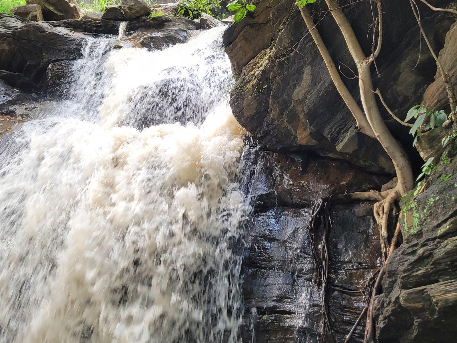
- Bamni and Turga Falls, fullest after the monsoon and reached on foot.
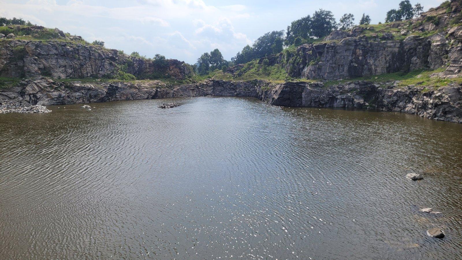
- Marble Lake, deep blue water in an old quarry.
- Pakhi Pahar for its giant rock-cut birds.
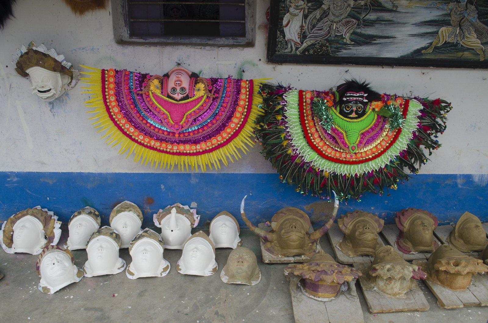
- Charida to watch Chhau masks being made by hand.
- Murguma Dam for sunsets and winter birds.
- Deulghata for early medieval brick temples.
- Garh Panchkot, Joychandi and Baranti for history, a hill climb and a lake.
Things to do in Purulia beyond sightseeing
Purulia rewards people who get out of the car. A few ideas, each with its own guide:
- Trekking and hill walks. Chemtaburu, the flat-topped ridge above Khairabera, is popular with trekkers, and local guides lead walks on and around the plateau. Go with a guide and finish by daylight. See trekking in Purulia.
- Rock climbing. Matha Buru and Joychandi have been training grounds for Bengal's mountaineering clubs for decades, mostly from November to March. Climbing here happens on organised courses with instructors, not as a casual activity; see rock climbing in Purulia.
- Birdwatching. Winter brings waterbirds to Murguma and Baranti, and the forest department includes Murguma in its annual waterbird survey. Bring binoculars; our birdwatching guide lists where to look.
- Sunrise and sunset. Usuldungri on the plateau is promoted locally as a sunrise point, and Baranti and Murguma are known for sunsets over water. See sunrise and sunset points in Purulia.
Travelling with children or older relatives
Many sights need little walking. The bird carvings of Pakhi Pahar can be seen from the main road, the Charida workshops line the road itself, cars drive along the top of the Upper Dam, and Sita Kund is close to a motorable road on the flat plateau. The harder ones are Bamni Falls, with its long, steep descent on narrow steps; Mayur Pahar, where the last climb is over a hundred steps without a handrail; and Joychandi, with several hundred steps to the temples. Our guides for families with children and senior citizens suggest gentler plans.
Chhau, Santal villages and festivals: Purulia's culture
Chhau is the dance most associated with Purulia. UNESCO inscribed it on its intangible heritage list in 2010, covering three styles, from Seraikella, Purulia and Mayurbhanj; the first two use masks. It is danced by men, at night in the open, to drums and the reed pipes mohuri and shehnai, and is closely tied to spring festivals. Charida's masks received a Geographical Indication tag in 2018, and the village has a statue of Gambhir Singh Mura, the Chhau dancer awarded the Padma Shri in 1981. Read more in Purulia Chhau dance and Charida, the Chhau mask village.
Purulia is also home to large Adivasi communities. In the 2011 census 18.45% of the district's people belonged to Scheduled Tribes, the Santals being the largest group, and Santali and Kurmali are additional official languages alongside Bengali. See Santhal culture in Purulia and Jhumur folk songs of Manbhum.
| Festival | When | Where to look |
|---|---|---|
| Tusu | Makar Sankranti, mid-January | Riverside gatherings; Deulghata is busiest then |
| Dol (Holi) | Phalgun full moon, February–March | Across the district, in palash season |
| Gajan and Charak | Ending on Chaitra Sankranti, mid-April | Lahariya Shib Mandir, with all-night Chhau |
| Disum Sendra | Baisakhi Purnima, April–May | Ajodhya Hills; expect forest checkpoints |
| Karam and Bhadu | Bhadra month, August–September | Villages across the district |
| Bandna | Kartik new moon, October–November | Kurmi Mahato farming villages |
Villages here are homes, not attractions. Ask before photographing people or houses, buy masks and crafts directly from the people who make them, keep music down and carry your litter out.
Food in Purulia: what and where to eat
Away from the towns, food is simple and rice-based: rice, dal, a vegetable and a chicken or fish curry at small local eateries. Ajodhya Hill Top has a few such places; in 2022 Aaj Tak Bangla put a roadside breakfast there at ₹25–30 and a fish-and-rice lunch at ₹100–120. Tea stalls in the villages are basic, and Bagmundi has more choice.
Some sights have nothing at all. Deulghata has no eateries or toilets, and at Baranti, as of 2026, the only meals were at the resorts. Carry water and snacks on sightseeing days, and see our Purulia food guide for local dishes and festival foods.
Is Purulia safe for tourists? Elephants, waterfalls and forest roads
For most visitors the real risks here are natural ones. Take these seriously:
- Elephants. Herds from the Dalma forests move through the Ajodhya Hills, mostly at night. Be off forest roads and trails before dusk, and never approach elephants.
- Waterfalls. Wet rock is slippery and streams can rise suddenly; in July 2019 police rescued two students caught by a flash flood while bathing at Bamni Falls. Do not bathe in the falls or their pools.
- Reservoirs. The pumped storage dams belong to a working power station whose lake levels change; keep off the embankment slopes. Marble Lake is about 40 feet deep with steep sides. Swimming is unsafe at all of them.
- Heat. From April, carry water and do your walking early.
- Connectivity. Mobile coverage is patchy in the hills, so fix pick-up times in advance.
- Health. The hill top has a 12-bed primary health centre and Pathardihi Rural Hospital near Baghmundi has 30 beds. Bring any medicines you need.
Money, packing and practical tips
- Carry cash. ATMs and card machines are scarce outside the towns; as of 2026 Baranti had no ATM or pharmacy at all.
- Dress for the season. Winter nights on the plateau are cold enough for a proper jacket, and summer days call for a hat and plenty of water.
- Wear shoes with grip. The falls, Marble Lake's rim and the hill steps are all on rock that turns slippery when wet.
- Pack a torch and binoculars for evenings outdoors and for birds on the reservoirs.
Our packing list for Purulia and things to know before visiting Purulia cover the rest.
Where to stay in Purulia
Where you stay should follow the cluster you are visiting:
- Ajodhya Hill Top: lodges, government rest houses and private resorts on the plateau itself, with a small bazaar and the health centre nearby.
- The foot of the hills (Bagmundi and Matha): quieter, with Charida, Pakhi Pahar and Matha Buru close by and the hill top 20 km up the road.
- Purulia town: the most hotels and the best rail links, but about 50 km from the hills.
- Murguma, Garh Panchkot and Baranti: each has lodges or resorts if you plan a night in the north.
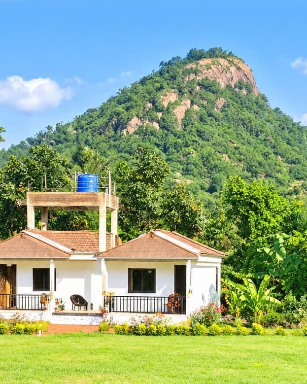
Rangamati Eco Resort is in the second group: seven cottages in the Matha forest at the foot of Matha Buru, 3 km from the hill, with home-style meals, and bonfires, Chhau, Santhali dance, Baul music and station pickup from Barabhum or Purulia Junction on request. See our rooms and experiences, or compare areas in where to stay in Purulia.