At a glance
- Day 1 covers the Ajodhya plateau at an easy pace: Lahariya, the Lower and Upper Dams, the hill top, Sita Kund, Mayur Pahar and Marble Lake.
- Day 2 is for Turga and Bamni falls in the morning, then the Charida mask workshops and Khairabera Dam.
- Day 3 heads 95–120 km north-east to Joychandi Pahar, Garh Panchkot and Baranti, best done on the way home towards Asansol or Kolkata.
- A fourth day can add Jonha and Hundru falls or Chandil Dam and Dassam Falls in Jharkhand, or Murguma and Deulghata closer by.
- Never bathe at the waterfalls, and be off forest roads by dusk, when elephants move through the hills.
A good Purulia 3 day itinerary gives the Ajodhya Hills two unhurried days and spends the third in the north-east of the district. Day 1 covers the Ajodhya plateau: the Upper and Lower Dams, the hill top, Sita Kund, Mayur Pahar and Marble Lake. Day 2 is for Turga and Bamni falls, the Charida mask village and Khairabera Dam. Day 3 takes you 95–120 km to Joychandi Pahar, Garh Panchkot and Baranti, ideally on the way home towards Asansol or Kolkata. A fourth day adds Jharkhand's waterfalls.
The Purulia 3 day itinerary at a glance
| Day | Morning | Afternoon | Night |
|---|---|---|---|
| Day 1 | Lahariya temple, Lower Dam, Upper Dam | Hill top lunch, Sita Kund, Ram Mandir, Mayur Pahar, Marble Lake | Foot of the hills |
| Day 2 | Turga Falls, Bamni Falls, Turga Dam | Charida mask village, Khairabera Dam | Foot of the hills |
| Day 3 | Check out; drive to Joy Chandi Pahar | Garh Panchkot, sunset at Baranti | Near Baranti, or home via Asansol |
| Optional extra day | Jonha and Hundru, or Chandil and Dassam | Return before dark | Foot of the hills |
Distances from a base at Matha, near Bagmundi: the Ajodhya sights are 9–22 km away, Joy Chandi Pahar 95 km, Garh Panchkot 110 km and Baranti 120 km.
Before you start: arrival, nights and transport
The plan assumes you are at your base by the evening before Day 1, or early on Day 1. If you come on the morning Rupashi Bangla Express from Santragachi, which reaches Purulia around midday, use that first afternoon for the two hills close to base: Pakhi Pahar, 6.5 km away, where giant birds are being carved into a rock face, and Matha Buru, 3 km away. Then start Day 1 the next morning. Our guide on how to reach Purulia lists the trains.
There is no organised public transport in the hills, so book a car and driver for each day. If you are driving your own car, Day 3 can end wherever suits you; if you came by train, plan Day 3 around an evening train from Asansol or a night near Baranti. Rangamati arranges sightseeing cabs, guides and station pickup on request.
Day 1: the Ajodhya plateau at an easy pace
With two days for the hills, Day 1 can be a gentle one, with little walking and plenty of time at each stop. The route climbs the power project road past the dams, crosses the top and comes back down the Bagmundi hill road.
Morning: Lahariya and the two dams
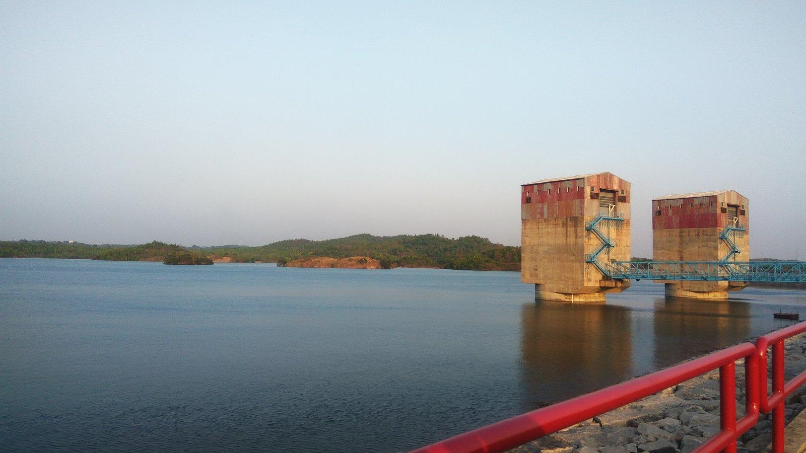
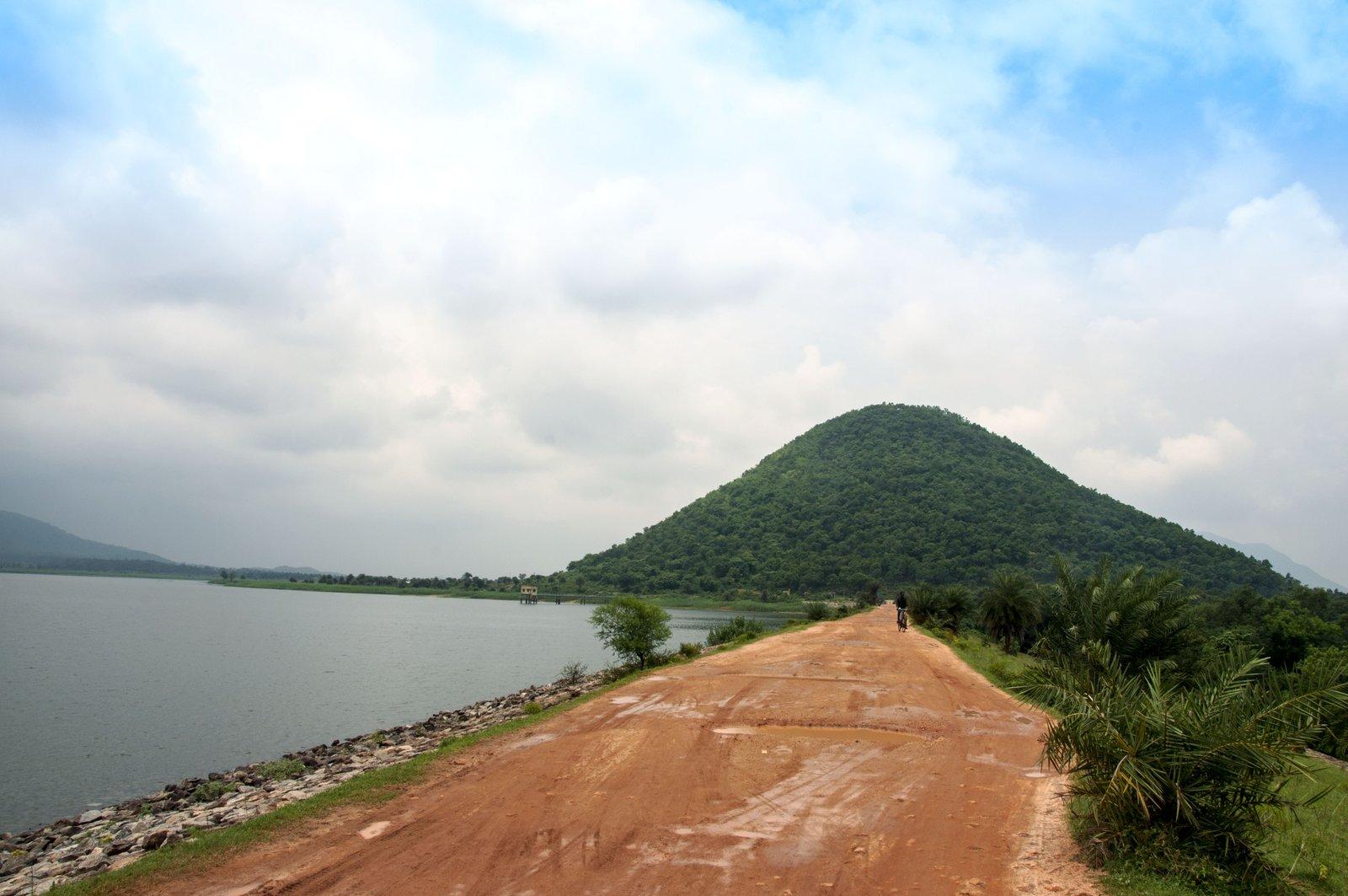
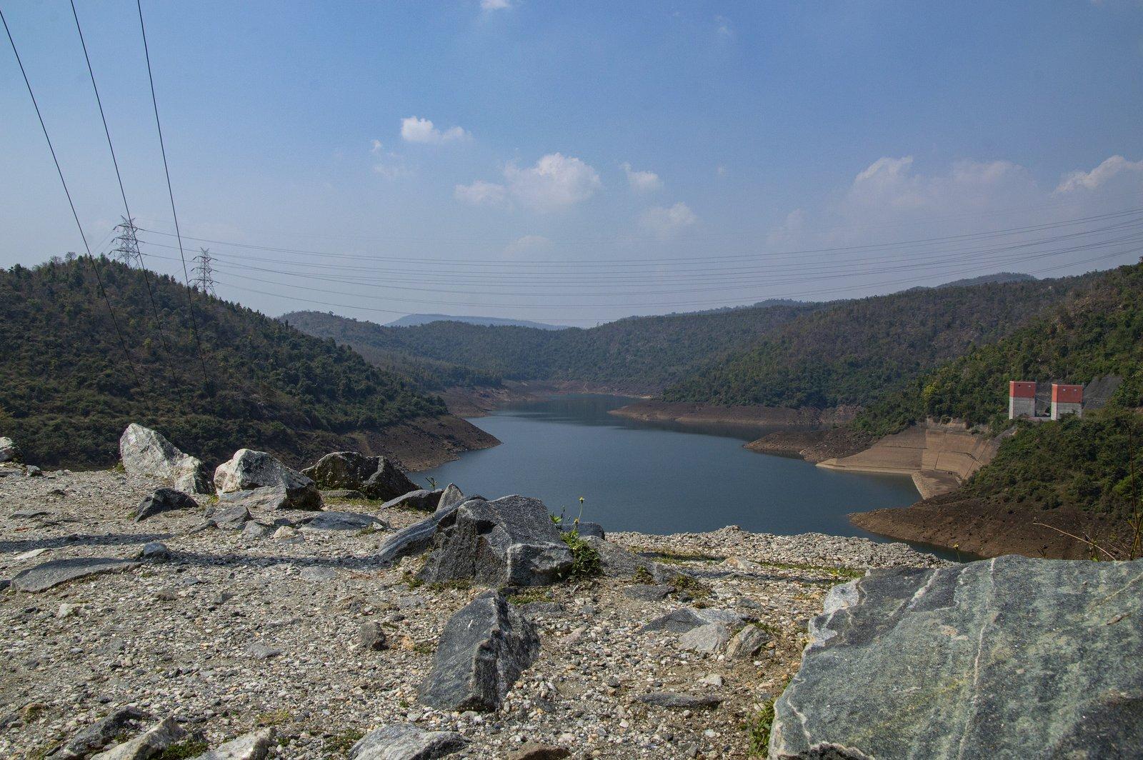
Drive north to Bagmundi and east into the hills. About 3 km along, a branch road leads to the Lahariya Shib Mandir, a village Shiva temple beside the small Lahariya reservoir, and climbs on to the Lower Dam. From the 95 m embankment you look along a lake winding between forested hills, and back down over the fields. Continue up to the Upper Dam, where the road runs along the top of the embankment. The two reservoirs form a 900 MW pumped storage plant, and their water levels rise and fall as it runs.
Afternoon: the hill top, Sita Kund, Mayur Pahar and Marble Lake
From the Upper Dam it is about 6 km to Ajodhya Hill Top, where simple eateries serve rice-and-curry lunches. Walk to Sita Kund, where, according to legend, Rama's arrow brought up water for Sita, and on to the Ram Mandir a few hundred metres away.
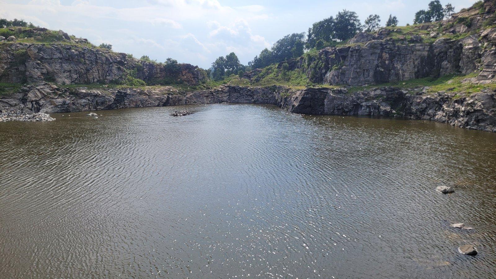
Heading back towards Bagmundi, stop at Mayur Pahar, about 2 km from the settlement, and climb the roughly 120 steps to the observation tower. A little further down, a spur leads to Marble Lake, deep blue water in a quarry cut for the dams. Then drive down past the falls, which you will visit tomorrow, and reach the plains before dusk.
Evening
A bonfire, or a Chhau, Santhali dance or Baul performance, can be arranged on request if you ask when you book; see experiences.
Day 2: waterfalls, Turga Dam and the Charida mask village
Morning: Turga and Bamni falls
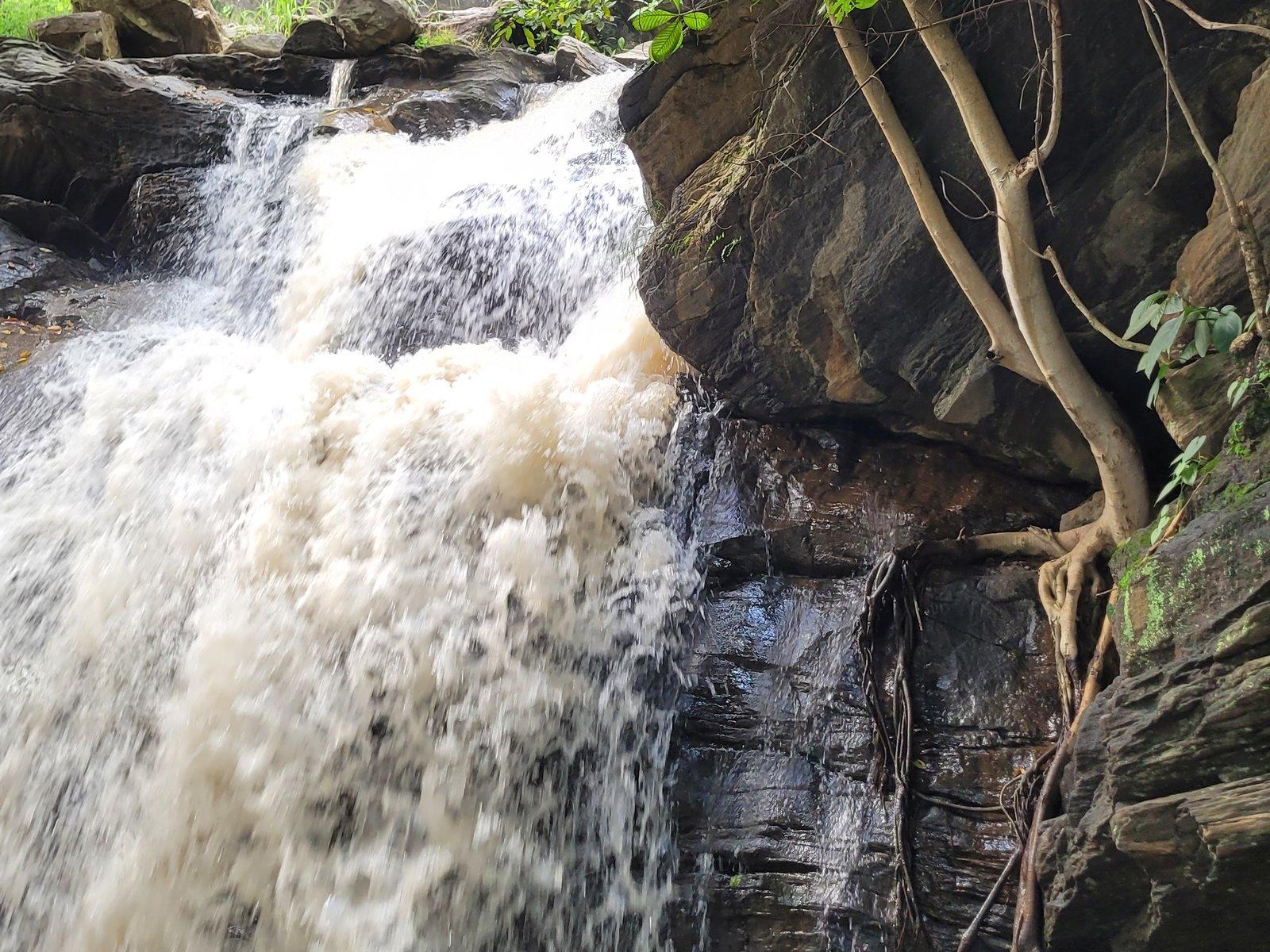
Go early, when the walks are cooler. Turga Falls (Thurga Falls) is about 4 km along the hill road from Bagmundi, reached by a rocky trail from where vehicles stop. Bamni Falls, about 6 km along, is the bigger outing: a steep descent on narrow, uneven steps through the forest to the upper falls, then a scramble over rock to the lower falls. With a whole morning, you can take it slowly. On the way down, stop at the Turga Dam reservoir, close to the start of the hill road.
Lunch at your base or in Bagmundi, which has more choice than the villages.
Afternoon: Charida and Khairabera Dam
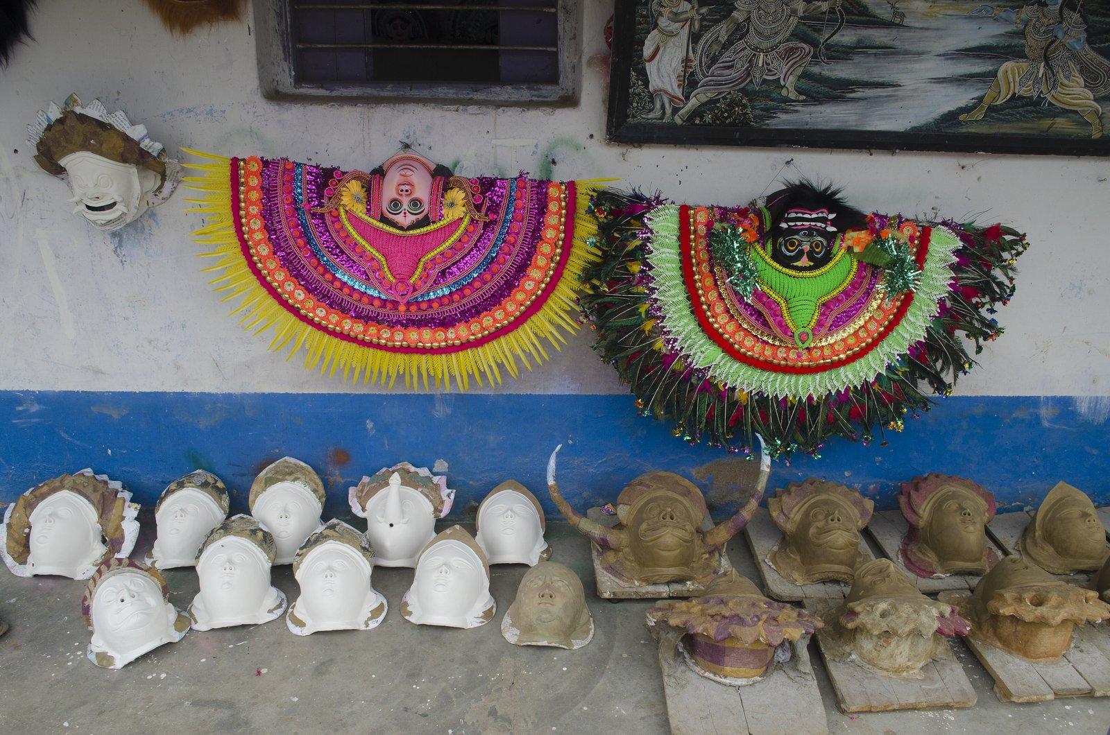
Charida, about 5 km beyond Bagmundi and 10 km from the resort, is where Purulia's Chhau masks are made. More than a hundred families work in open-fronted workshops along the main road, and you can watch masks being moulded, dried and painted, then buy them from the makers. Ask before photographing people at work.
Finish at Khairabera Dam, 22 km from the resort at the edge of Koreng village, a quiet reservoir under the flat-topped ridge of Chemtaburu. In palash season, around Holi, the trees around the lake flower red. The last few kilometres are on minor roads, so leave in good time to be back before dark.
Day 3: Joychandi, Garh Panchkot and Baranti on the way home
This is a long day, with roughly 130 km of driving to Baranti before you start for home, so check out early (check-out is 9 am) and carry water and snacks. The road runs via Balarampur and Purulia to Raghunathpur.
Morning: Joy Chandi Pahar (95 km)
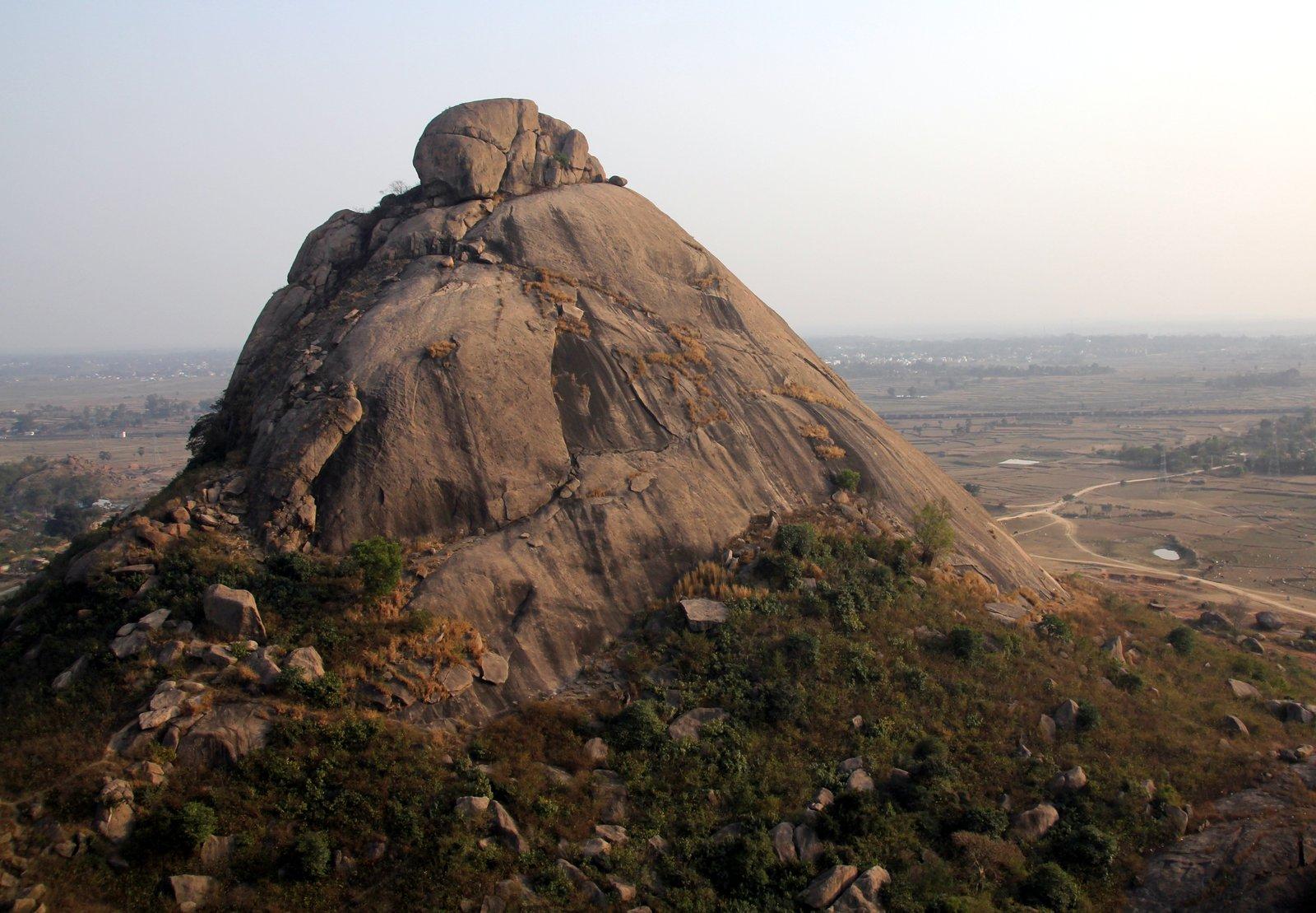
Joy Chandi Pahar, also written Joychandi, is a cluster of bare rocky hills beside Raghunathpur. Several hundred steps (counts range from about 400 to over 500) lead past the ruin of a British semaphore tower, part of an optical telegraph built between 1816 and 1830, to the temples of Chandi and Hanuman, with a wide view over the fields and the Adra–Asansol railway. Satyajit Ray filmed much of Hirak Rajar Deshe here in 1980. In 2019 stalls at the foot sold tea and snacks; Raghunathpur has more choice for lunch.
Afternoon: Garh Panchkot
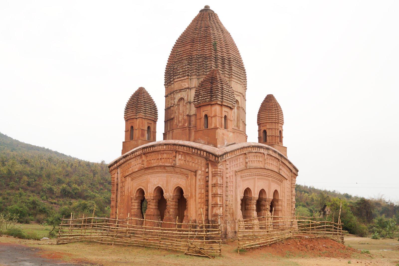
Continue to Garh Panchkot, roughly 20 km on, where a road leaves the highway at Gobag More. This was the capital of the Panchkot rajas until Maratha raiders sacked it in the 18th century. Start at the five-spired Pancharatna temple with its terracotta panels, then walk among the scattered gateways, temples and palace walls under forested Panchet Hill. As of 2026 there was no restaurant at the ruins, only stalls, and a parking fee was charged. Outlook Traveller advises leaving the hill by late afternoon.
Sunset: Baranti
Baranti, a short drive on, is a tribal village on a hill-ringed irrigation reservoir, known for sunsets that turn the lake and the paddy fields yellow and red. As of April 2026 there was no ATM, pharmacy or boating, mobile signal was weak and the lake road was unlit after dark, so carry cash and keep a torch handy.
From here you have three choices. Spend the night near Baranti or Garh Panchkot and drive home in the morning. Drive about 35 km to Asansol, a major junction with frequent trains to Howrah (check IRCTC for the evening services). Or, if you are driving and set off early enough, continue roughly 240 km to Kolkata, which is a lot after a full day. Our Garh Panchkot and Baranti day trip has more detail on the area.
Adding a fourth day: Jharkhand waterfalls
Slot the extra day in between Day 2 and Day 3, so you return to the same base. Leave early: these are long drives, and each falls has a long flight of steps.
- Jonha and Hundru. Jonha Falls, about 80 km away, drops 43 m into a wooded valley; a stairway of around 700 steps leads to the pool, though another approach gives a view without the full descent. Hundru Falls, about 25 km further, is a 98 m drop on the Subarnarekha, seen from the top or from the base after roughly 700 to 750 steep steps.
- Chandil and Dassam. Chandil Dam, about 50 km away, has ticketed boat rides on a reservoir under the Dalma Hills. Dassam Falls, about 130 km from the resort along the same road, splits into several streams as it drops 44 m; swimming is prohibited after many drownings.
These falls are fullest just after the monsoon, and Dassam and Hundru are crowded over Christmas and New Year. Our Ranchi waterfalls day trip covers routes and timing.
Prefer a quieter extra day? Combine Murguma Dam, 37 km away, for walks along the embankment and winter waterbirds, with the early medieval brick temples of Deulghata, about 17 km beyond it. Deulghata has no eateries or toilets, so go prepared.
Adjusting the plan by season
- Winter (October to February): the easiest season, with short days, so start by 8 am. Migratory birds gather on the reservoirs at Murguma and Baranti.
- Palash season (around Holi, usually March): Khairabera and Baranti are both known for palash; start earlier as the heat builds.
- Summer (April to June): very hot; the falls thin out and can dry up, so drop the waterfall morning and do the dams in the late afternoon.
- Monsoon (July to September): the falls and the Ranchi plateau waterfalls are at their fullest and most dangerous. Stay out of the water and expect slippery steps.
Only have a weekend? Our Purulia 2-day itinerary condenses the Ajodhya Hills into a single circuit, and the Ajodhya Hills travel guide explains how the plateau fits together.